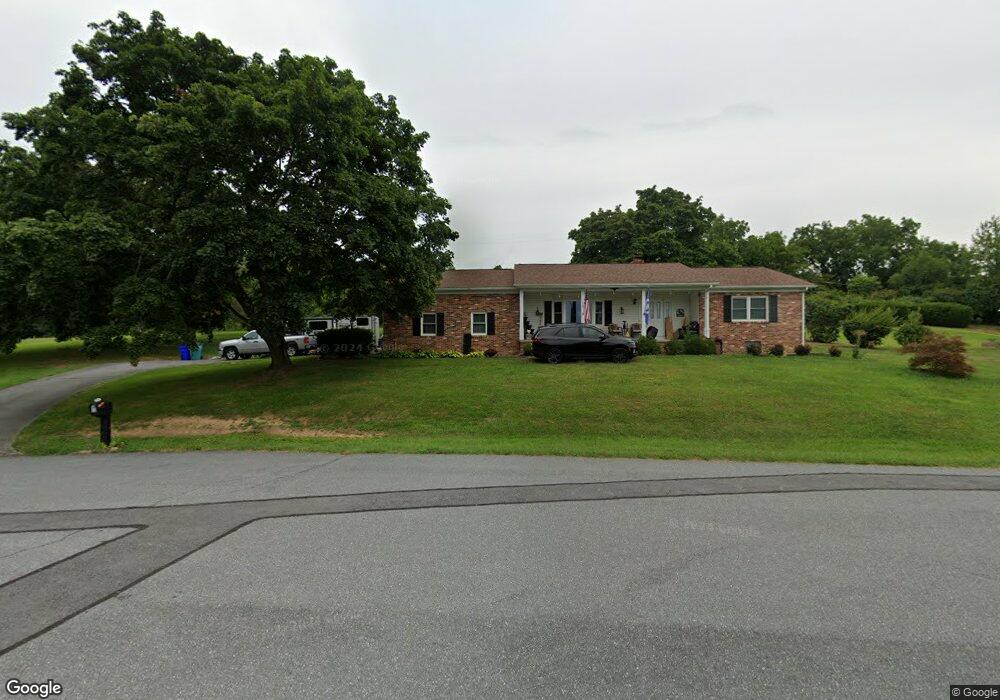
7102 Hillside Cir Thurmont, MD 21788
Estimated Value: $360,048 - $415,000
Studio
1
Bath
1,512
Sq Ft
$259/Sq Ft
Est. Value
About This Home
This home is located at 7102 Hillside Cir, Thurmont, MD 21788 and is currently estimated at $392,262, approximately $259 per square foot. 7102 Hillside Cir is a home located in Frederick County with nearby schools including Thurmont Primary School, Thurmont Elementary School, and Thurmont Middle School.
Ownership History
Date
Name
Owned For
Owner Type
Purchase Details
Closed on
Apr 29, 2016
Sold by
Griffin Florence N and Griffin William W
Bought by
Fogle Michael W and Mckenney Erin M
Current Estimated Value
Home Financials for this Owner
Home Financials are based on the most recent Mortgage that was taken out on this home.
Original Mortgage
$170,000
Outstanding Balance
$135,683
Interest Rate
3.74%
Mortgage Type
Adjustable Rate Mortgage/ARM
Estimated Equity
$256,579
Purchase Details
Closed on
Sep 3, 1985
Sold by
Seiss Allen E and Seiss Joyce N
Bought by
Griffin William W and Griffin Florence
Create a Home Valuation Report for This Property
The Home Valuation Report is an in-depth analysis detailing your home's value as well as a comparison with similar homes in the area
Home Values in the Area
Average Home Value in this Area
Purchase History
| Date | Buyer | Sale Price | Title Company |
|---|---|---|---|
| Fogle Michael W | $200,000 | Attorney | |
| Griffin William W | $91,500 | -- |
Source: Public Records
Mortgage History
| Date | Status | Borrower | Loan Amount |
|---|---|---|---|
| Open | Fogle Michael W | $170,000 |
Source: Public Records
Tax History
| Year | Tax Paid | Tax Assessment Tax Assessment Total Assessment is a certain percentage of the fair market value that is determined by local assessors to be the total taxable value of land and additions on the property. | Land | Improvement |
|---|---|---|---|---|
| 2025 | $3,520 | $311,467 | -- | -- |
| 2024 | $3,520 | $283,433 | $0 | $0 |
| 2023 | $3,054 | $255,400 | $68,600 | $186,800 |
| 2022 | $2,968 | $247,933 | $0 | $0 |
| 2021 | $2,794 | $240,467 | $0 | $0 |
| 2020 | $2,794 | $233,000 | $68,600 | $164,400 |
| 2019 | $2,749 | $229,100 | $0 | $0 |
| 2018 | $2,727 | $225,200 | $0 | $0 |
| 2017 | $2,658 | $221,300 | $0 | $0 |
| 2016 | $2,762 | $212,867 | $0 | $0 |
| 2015 | $2,762 | $204,433 | $0 | $0 |
| 2014 | $2,762 | $196,000 | $0 | $0 |
Source: Public Records
Map
Nearby Homes
- 13839 Pryor Rd
- 13447 Reed Rd
- 123 Sunhigh Dr
- 200 Moser Cir
- 6 Sylvia Cir
- 105 Colliery Dr
- 1 Tacoma St
- 18 Water St
- 58 Mountaintop Rd
- 59 Mountaintop Rd
- 17 East St
- 19 N Carroll St
- 706 E Main St
- 33 Walnut St
- 4 Mountain View Place
- 10 Radio Ln
- 124 Emmitsburg Rd
- 103 E Hammaker St
- 0 Creagerstown Rd
- 304 Apples Church Rd
- 13726 Hillside Ave
- 7104 Hillside Cir
- 7101 Hillside Cir
- 7103 Hillside Cir
- 13724 Hillside Ave
- 13727 Hillside Ave
- 13730 Hillside Ave
- 13731 Hillside Ave
- 13725 Hillside Ave
- 13722 Hillside Ave
- 13733 Hillside Ave
- 13732 Hillside Ave
- 13735 Hillside Ave
- 13611 Pryor Rd
- 13721 Hillside Ave
- 13720 Hillside Ave
- 13736 Hillside Ave
- 7010 Old Pryor Rd
- 13607 Winesap Cir
- 13611B Pryor Rd
Your Personal Tour Guide
Ask me questions while you tour the home.