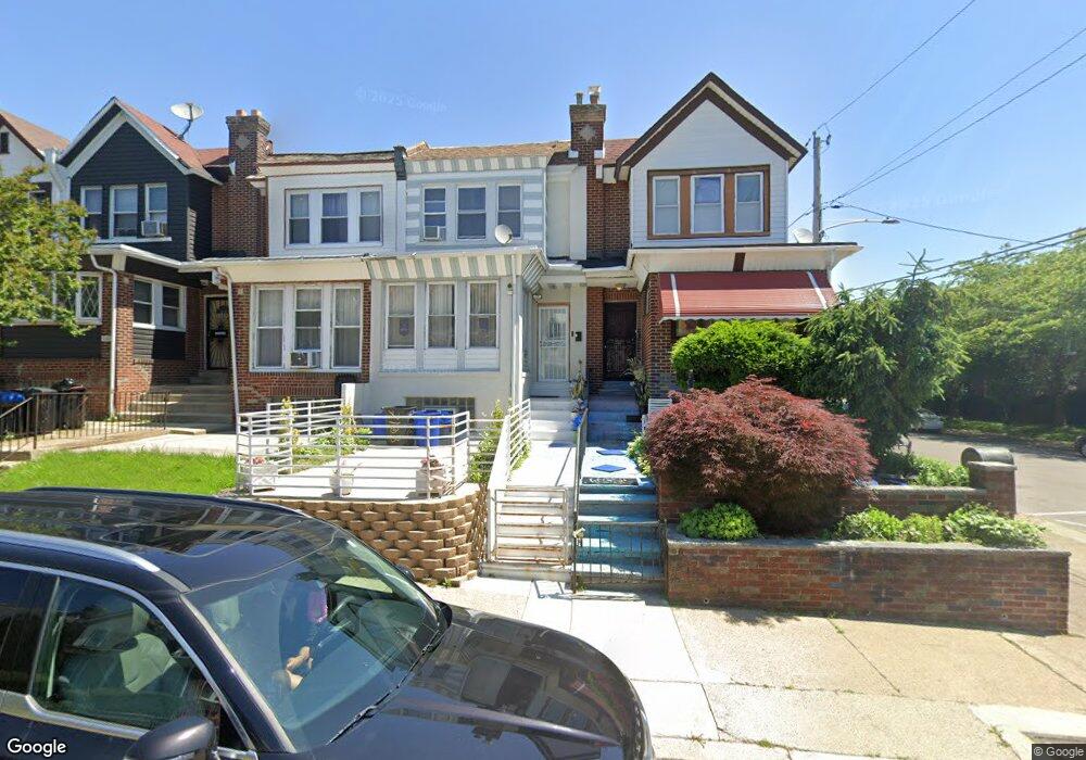
7103 Louise Rd Philadelphia, PA 19138
West Oak Lane NeighborhoodEstimated Value: $184,000 - $220,000
3
Beds
1
Bath
1,208
Sq Ft
$171/Sq Ft
Est. Value
About This Home
This home is located at 7103 Louise Rd, Philadelphia, PA 19138 and is currently estimated at $206,920, approximately $171 per square foot. 7103 Louise Rd is a home located in Philadelphia County with nearby schools including Pennypacker Samuel School, Martin Luther King High School, and West Oak Lane Charter School.
Ownership History
Date
Name
Owned For
Owner Type
Purchase Details
Closed on
Dec 8, 1998
Sold by
Cook Robert W
Bought by
Kwarteng Emmanuel and Virgo Helen
Current Estimated Value
Purchase Details
Closed on
Aug 28, 1998
Sold by
Ocwen Federal Bank Fsb
Bought by
Cook Robert W
Purchase Details
Closed on
Jul 20, 1998
Sold by
Hudson Jerome C and Wooten Cassandra A
Bought by
Ocwen Federal Bank Fsb and Berkeley Federal Bank & Trust Fsb
Create a Home Valuation Report for This Property
The Home Valuation Report is an in-depth analysis detailing your home's value as well as a comparison with similar homes in the area
Home Values in the Area
Average Home Value in this Area
Purchase History
| Date | Buyer | Sale Price | Title Company |
|---|---|---|---|
| Kwarteng Emmanuel | $62,500 | -- | |
| Cook Robert W | $26,000 | -- | |
| Ocwen Federal Bank Fsb | $8,000 | -- |
Source: Public Records
Tax History Compared to Growth
Tax History
| Year | Tax Paid | Tax Assessment Tax Assessment Total Assessment is a certain percentage of the fair market value that is determined by local assessors to be the total taxable value of land and additions on the property. | Land | Improvement |
|---|---|---|---|---|
| 2026 | $2,217 | $194,500 | $38,900 | $155,600 |
| 2025 | $2,217 | $194,500 | $38,900 | $155,600 |
| 2024 | $2,217 | $194,500 | $38,900 | $155,600 |
| 2023 | $2,217 | $158,400 | $31,680 | $126,720 |
| 2022 | $1,641 | $158,400 | $31,680 | $126,720 |
| 2021 | $1,641 | $0 | $0 | $0 |
| 2020 | $1,641 | $0 | $0 | $0 |
| 2019 | $1,713 | $0 | $0 | $0 |
| 2018 | $1,538 | $0 | $0 | $0 |
| 2017 | $1,538 | $0 | $0 | $0 |
| 2016 | $1,538 | $0 | $0 | $0 |
| 2015 | $1,473 | $0 | $0 | $0 |
| 2014 | -- | $109,900 | $9,504 | $100,396 |
| 2012 | -- | $14,272 | $2,896 | $11,376 |
Source: Public Records
Map
Nearby Homes
- 7349 E Walnut Ln
- 7001 Limekiln Pike
- 7092 Forrest Ave
- 7206 Forrest Ave
- 1839 E Pastorius St
- 6944 Cedar Park Ave
- 1623 Middleton St
- 1821 E Tulpehocken St
- 1822 Nolan St
- 1762 Mohican St
- 6905 Forrest Ave
- 1544 Beverly Rd
- 7245 Ogontz Ave
- 7016 Andrews Ave
- 6908 Ogontz Ave
- 1559 E Pastorius St
- 2070 E Haines St
- 7159 N 20th St
- 1521 E Walnut Ln
- 7188 N Uber St
- 7105 Louise Rd
- 7101 Louise Rd
- 7107 Louise Rd
- 7109 Louise Rd
- 7111 Louise Rd
- 7113 Louise Rd
- 7115 Louise Rd
- 7102 Limekiln Pike
- 7104 Limekiln Pike
- 7100 Limekiln Pike
- 7106 Limekiln Pike
- 7117 Louise Rd
- 7108 Limekiln Pike
- 7104 Louise Rd
- 7119 Louise Rd
- 7102 Louise Rd
- 7106 Louise Rd
- 7110 Limekiln Pike
- 7108 Louise Rd
- 7110 Louise Rd