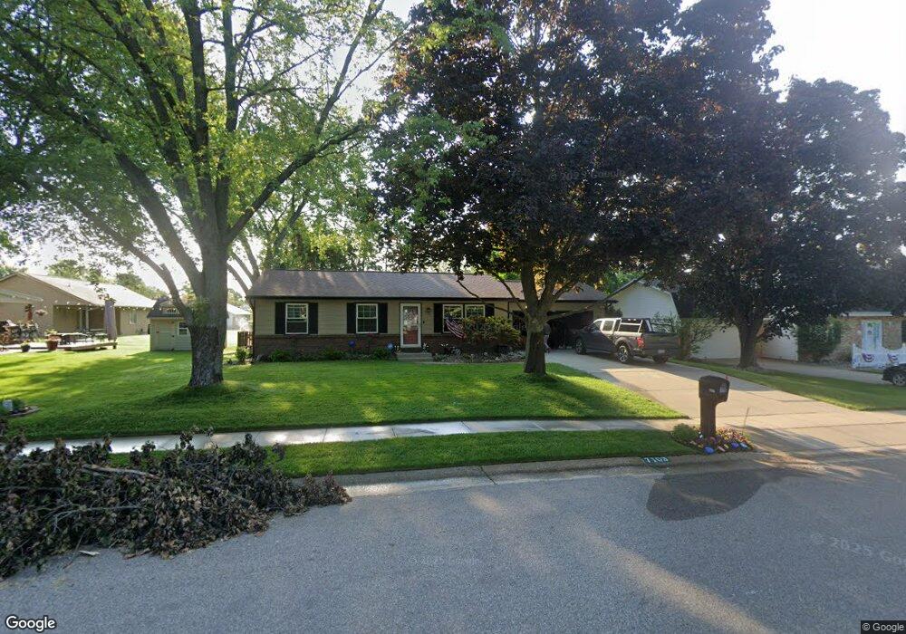
7103 Marfield St Portage, MI 49024
Estimated Value: $227,000 - $253,000
3
Beds
2
Baths
2,040
Sq Ft
$118/Sq Ft
Est. Value
About This Home
This home is located at 7103 Marfield St, Portage, MI 49024 and is currently estimated at $241,431, approximately $118 per square foot. 7103 Marfield St is a home located in Kalamazoo County with nearby schools including Woodland Elementary School, Portage West Middle School, and Portage Northern High School.
Ownership History
Date
Name
Owned For
Owner Type
Purchase Details
Closed on
Mar 28, 2012
Sold by
Thomas Perez Melonie M and Thomas Melonie M
Bought by
Thomas Perez Melonie M and Perez Abdon
Current Estimated Value
Home Financials for this Owner
Home Financials are based on the most recent Mortgage that was taken out on this home.
Original Mortgage
$118,000
Outstanding Balance
$15,996
Interest Rate
3.95%
Mortgage Type
New Conventional
Estimated Equity
$225,435
Purchase Details
Closed on
Oct 18, 2002
Sold by
Brodie Todd A and Brodie Lisa S
Bought by
Thomas Melonie M
Home Financials for this Owner
Home Financials are based on the most recent Mortgage that was taken out on this home.
Original Mortgage
$131,692
Interest Rate
6.29%
Mortgage Type
FHA
Create a Home Valuation Report for This Property
The Home Valuation Report is an in-depth analysis detailing your home's value as well as a comparison with similar homes in the area
Home Values in the Area
Average Home Value in this Area
Purchase History
| Date | Buyer | Sale Price | Title Company |
|---|---|---|---|
| Thomas Perez Melonie M | -- | Devon Title | |
| Thomas Melonie M | -- | Chicago Title |
Source: Public Records
Mortgage History
| Date | Status | Borrower | Loan Amount |
|---|---|---|---|
| Open | Thomas Perez Melonie M | $118,000 | |
| Closed | Thomas Melonie M | $131,692 |
Source: Public Records
Tax History Compared to Growth
Tax History
| Year | Tax Paid | Tax Assessment Tax Assessment Total Assessment is a certain percentage of the fair market value that is determined by local assessors to be the total taxable value of land and additions on the property. | Land | Improvement |
|---|---|---|---|---|
| 2025 | $2,802 | $90,100 | $0 | $0 |
| 2024 | $2,467 | $89,000 | $0 | $0 |
| 2023 | $2,351 | $79,300 | $0 | $0 |
| 2022 | $2,540 | $70,200 | $0 | $0 |
| 2021 | $2,455 | $67,000 | $0 | $0 |
| 2020 | $2,402 | $63,000 | $0 | $0 |
| 2019 | $216 | $60,500 | $0 | $0 |
| 2018 | $0 | $58,000 | $0 | $0 |
| 2017 | $0 | $57,200 | $0 | $0 |
| 2016 | -- | $54,800 | $0 | $0 |
| 2015 | -- | $51,000 | $0 | $0 |
| 2014 | -- | $48,800 | $0 | $0 |
Source: Public Records
Map
Nearby Homes
- 6827 Marlow St
- 1710 Greenview Ave
- 1828 Woodland Dr
- 1010 Romence Rd
- 7403 Rockford St
- 6803 Fescue St
- 7337 Starbrook St
- 1531 Redstock Ave
- 6803 Bluegrass St
- 6745 Oakland Dr
- 7160 Crown Pointe Cir
- 6514 Marlow St
- 2029 Brighton Ln Unit 7
- 1998 Brighton Ln Unit 16
- 6748 Trotwood St
- 1922 Brighton Ln Unit 31
- 7784 Primrose Ln
- 2604 Radcliffe Ave
- 1318 Ashton Woods Ct
- 6636 Trotwood St
- 7115 Marfield St
- 7083 Marfield St
- 1515 Sherry Dr
- 7120 Kaylin Ct
- 7131 Marfield St
- 1489 Sherry Dr
- 7134 Kaylin Ct
- 7100 Marfield St
- 7114 Marfield St
- 7082 Marfield St
- 7110 Kaylin Ct
- 7130 Marfield St
- 1528 Kelvere Ave
- 7068 Marfield St
- 1498 Kelvere Ave
- 1524 Sherry Dr
- 7148 Marfield St
- 1504 Sherry Dr
- 7103 Rockford St
- 7047 Rockford St