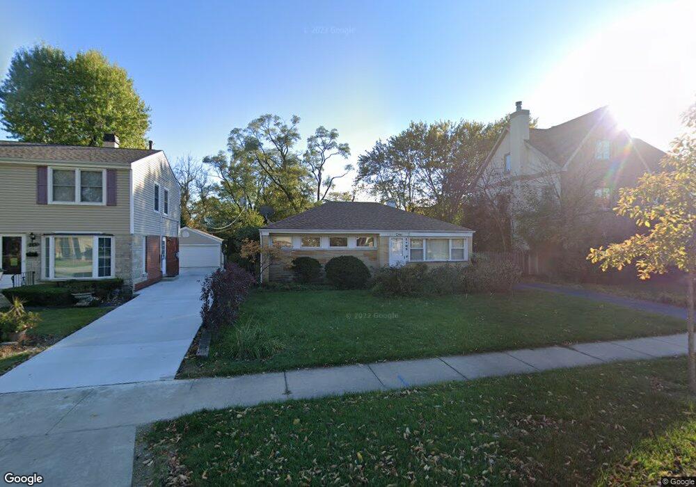
7105 Beckwith Rd Morton Grove, IL 60053
Estimated Value: $414,000 - $519,000
4
Beds
1
Bath
1,426
Sq Ft
$318/Sq Ft
Est. Value
About This Home
This home is located at 7105 Beckwith Rd, Morton Grove, IL 60053 and is currently estimated at $453,592, approximately $318 per square foot. 7105 Beckwith Rd is a home located in Cook County with nearby schools including Hynes Elementary School, Golf Middle School, and Niles North High School.
Ownership History
Date
Name
Owned For
Owner Type
Purchase Details
Closed on
Dec 9, 1993
Sold by
Gebert Paul W and Bidne Rhonda M
Bought by
Bidne Rhonda M
Current Estimated Value
Home Financials for this Owner
Home Financials are based on the most recent Mortgage that was taken out on this home.
Original Mortgage
$117,000
Interest Rate
4.87%
Create a Home Valuation Report for This Property
The Home Valuation Report is an in-depth analysis detailing your home's value as well as a comparison with similar homes in the area
Home Values in the Area
Average Home Value in this Area
Purchase History
| Date | Buyer | Sale Price | Title Company |
|---|---|---|---|
| Bidne Rhonda M | -- | -- |
Source: Public Records
Mortgage History
| Date | Status | Borrower | Loan Amount |
|---|---|---|---|
| Closed | Bidne Rhonda M | $117,000 |
Source: Public Records
Tax History Compared to Growth
Tax History
| Year | Tax Paid | Tax Assessment Tax Assessment Total Assessment is a certain percentage of the fair market value that is determined by local assessors to be the total taxable value of land and additions on the property. | Land | Improvement |
|---|---|---|---|---|
| 2024 | $6,537 | $30,001 | $9,770 | $20,231 |
| 2023 | $6,019 | $30,001 | $9,770 | $20,231 |
| 2022 | $6,019 | $30,001 | $9,770 | $20,231 |
| 2021 | $6,133 | $26,707 | $6,012 | $20,695 |
| 2020 | $5,962 | $26,707 | $6,012 | $20,695 |
| 2019 | $6,943 | $30,008 | $6,012 | $23,996 |
| 2018 | $5,783 | $23,317 | $5,448 | $17,869 |
| 2017 | $5,822 | $23,317 | $5,448 | $17,869 |
| 2016 | $5,989 | $24,186 | $5,448 | $18,738 |
| 2015 | $6,002 | $22,449 | $4,696 | $17,753 |
| 2014 | $5,903 | $22,449 | $4,696 | $17,753 |
| 2013 | $5,784 | $22,449 | $4,696 | $17,753 |
Source: Public Records
Map
Nearby Homes
- 7215 Beckwith Rd
- 7215 Lyons St
- 7014 Church St
- 6727 Beckwith Rd
- 7302 Ponto Dr
- 7207 Church St
- 7303 Ponto Dr
- 9421 Sayre Ave
- 7030 Foster St
- 7300 Beckwith Rd
- 9400 Octavia Ave
- 6909 Beckwith Rd
- 9244 Newcastle Ave
- 7240 Palma Ln
- 7324 Palma Ln
- 9236 Osceola Ave
- 7343 Lake St
- 6712 Maple St
- 120 Washington St
- 7446 Lake St
- 7101 Beckwith Rd
- 7109 Beckwith Rd
- 9242 Belleforte Ave
- 9243 Marion Ave
- 9236 Belleforte Ave
- 9237 Marion Ave
- 9235 Marion Ave
- 7106 Beckwith Rd
- 7110 Beckwith Rd
- 7100 Beckwith Rd
- 9232 Belleforte Ave
- 9233 Marion Ave
- 9305 Marion Ave
- 7048 Beckwith Rd
- 9243 Belleforte Ave
- 9242 Marion Ave
- 9224 Belleforte Ave
- 7046 Beckwith Rd
- 9225 Marion Ave
- 9225 Marion Ave