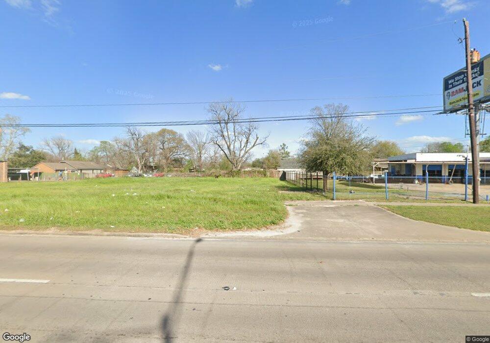
7106 N Shepherd Dr Houston, TX 77091
Northside-Northline NeighborhoodEstimated Value: $205,000
--
Bed
--
Bath
--
Sq Ft
7,405
Sq Ft Lot
About This Home
This home is located at 7106 N Shepherd Dr, Houston, TX 77091 and is currently estimated at $205,000. 7106 N Shepherd Dr is a home located in Harris County with nearby schools including Wesley Elementary School, Williams Middle, and Booker T Washington Sr High.
Ownership History
Date
Name
Owned For
Owner Type
Purchase Details
Closed on
Jan 27, 2023
Sold by
Orozco Efrain Ibrain
Bought by
Karoush Abraham
Current Estimated Value
Home Financials for this Owner
Home Financials are based on the most recent Mortgage that was taken out on this home.
Original Mortgage
$100,000
Outstanding Balance
$52,261
Interest Rate
6.31%
Mortgage Type
Seller Take Back
Estimated Equity
$152,739
Purchase Details
Closed on
Nov 14, 2022
Sold by
Green Tag Electricllc
Bought by
Orozco Efrain Lbrain
Purchase Details
Closed on
Oct 9, 2019
Sold by
Anderson Sandra Marie and Anderson T C
Bought by
Khan Shahriar
Create a Home Valuation Report for This Property
The Home Valuation Report is an in-depth analysis detailing your home's value as well as a comparison with similar homes in the area
Home Values in the Area
Average Home Value in this Area
Purchase History
| Date | Buyer | Sale Price | Title Company |
|---|---|---|---|
| Karoush Abraham | -- | Alamo Title Company | |
| Orozco Efrain Lbrain | -- | -- | |
| Khan Shahriar | -- | Patriot Title |
Source: Public Records
Mortgage History
| Date | Status | Borrower | Loan Amount |
|---|---|---|---|
| Open | Karoush Abraham | $100,000 |
Source: Public Records
Tax History Compared to Growth
Tax History
| Year | Tax Paid | Tax Assessment Tax Assessment Total Assessment is a certain percentage of the fair market value that is determined by local assessors to be the total taxable value of land and additions on the property. | Land | Improvement |
|---|---|---|---|---|
| 2025 | $1,847 | $91,656 | $91,656 | -- |
| 2024 | $1,847 | $91,656 | $91,656 | -- |
| 2023 | $1,847 | $91,656 | $91,656 | $0 |
| 2022 | $1,682 | $76,380 | $76,380 | $0 |
| 2021 | $1,424 | $61,104 | $61,104 | $0 |
| 2020 | $1,110 | $45,828 | $45,828 | $0 |
| 2019 | $1,160 | $45,828 | $45,828 | $0 |
| 2018 | $1,063 | $42,009 | $42,009 | $0 |
| 2017 | $1,062 | $42,009 | $42,009 | $0 |
| 2016 | $1,062 | $42,009 | $42,009 | $0 |
| 2015 | $1,080 | $42,009 | $42,009 | $0 |
| 2014 | $1,080 | $42,009 | $42,009 | $0 |
Source: Public Records
Map
Nearby Homes
- 824 W Rittenhouse St
- 715 W Rittenhouse Rd
- 859 W Rittenhouse St
- 747 W Rittenhouse Rd
- 740 Millville Dr
- 748 Millville Dr
- 5736 Stuebner Airline Rd
- 775 Rittenhouse St
- 6315 N Shepherd Dr
- 7014 De Priest St
- 741 Granville Dr
- 6220 De Priest St
- 862 Granville Dr
- 1031 S Victory Dr
- 1033 S Victory Dr
- 847 S Victory Dr
- 814 Granville Dr
- 0 Lovers Ln Unit 36585920
- 609 W Parker Rd
- 855 W Little York Rd
- 7118 N Shepherd Dr
- 650 W Rittenhouse Rd
- 7106-7124 N Shepherd Dr
- 7124 N Shepherd Dr
- 637 Millville Dr
- 644 W Rittenhouse Rd
- 633 Millville Dr
- 636 W Rittenhouse Rd
- 7115 N Shepherd Dr
- 629 Millville Dr
- 7127 N Shepherd Dr
- 630 W Rittenhouse Rd
- 630 W Rittenhouse St
- 625 Millville Dr
- 632 Millville Dr
- 636 Millville Dr
- 705 Millville Dr
- 708 W Rittenhouse St
- 624 W Rittenhouse Rd
- 633 W Rittenhouse Rd