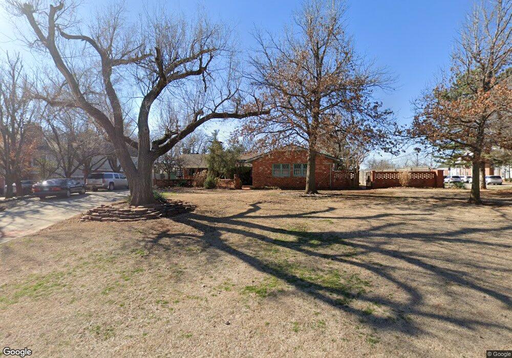
7107 Brentwood Rd Nichols Hills, OK 73116
Estimated Value: $886,000 - $963,399
3
Beds
3
Baths
2,956
Sq Ft
$317/Sq Ft
Est. Value
About This Home
This home is located at 7107 Brentwood Rd, Nichols Hills, OK 73116 and is currently estimated at $937,850, approximately $317 per square foot. 7107 Brentwood Rd is a home located in Oklahoma County with nearby schools including Nichols Hills Enterprise Elementary School, John Marshall Enterprise Middle School, and John Marshall Enterprise High School.
Ownership History
Date
Name
Owned For
Owner Type
Purchase Details
Closed on
Jul 23, 2021
Sold by
Mitchell Michael L and Mitchell Cassandra
Bought by
Mitchell Michael L and Mitchell Cassandra
Current Estimated Value
Home Financials for this Owner
Home Financials are based on the most recent Mortgage that was taken out on this home.
Original Mortgage
$150,000
Interest Rate
2.93%
Mortgage Type
New Conventional
Purchase Details
Closed on
Oct 9, 2019
Sold by
Mitchell Michael L and Mitchell Cassandra
Bought by
Mitchell Michael L and Mitchell Cassandra
Create a Home Valuation Report for This Property
The Home Valuation Report is an in-depth analysis detailing your home's value as well as a comparison with similar homes in the area
Home Values in the Area
Average Home Value in this Area
Purchase History
| Date | Buyer | Sale Price | Title Company |
|---|---|---|---|
| Mitchell Michael L | -- | Amrock Llc Recording Dept | |
| Mitchell Michael L | -- | Amrock | |
| Mitchell Michael L | -- | None Available |
Source: Public Records
Mortgage History
| Date | Status | Borrower | Loan Amount |
|---|---|---|---|
| Closed | Mitchell Michael L | $150,000 |
Source: Public Records
Tax History Compared to Growth
Tax History
| Year | Tax Paid | Tax Assessment Tax Assessment Total Assessment is a certain percentage of the fair market value that is determined by local assessors to be the total taxable value of land and additions on the property. | Land | Improvement |
|---|---|---|---|---|
| 2024 | $9,439 | $70,616 | $28,416 | $42,200 |
| 2023 | $9,439 | $68,559 | $20,243 | $48,316 |
| 2022 | $8,361 | $66,563 | $19,654 | $46,909 |
| 2021 | $8,178 | $64,625 | $20,364 | $44,261 |
| 2020 | $8,306 | $63,470 | $20,364 | $43,106 |
| 2019 | $8,298 | $64,014 | $22,009 | $42,005 |
| 2018 | $7,805 | $62,150 | $0 | $0 |
| 2017 | $7,453 | $60,554 | $23,694 | $36,860 |
| 2016 | $7,468 | $59,454 | $23,694 | $35,760 |
| 2015 | $7,358 | $58,819 | $21,477 | $37,342 |
| 2014 | $7,041 | $57,479 | $21,453 | $36,026 |
Source: Public Records
Map
Nearby Homes
- 1212 W Wilshire Blvd
- 6805 Avondale Dr
- 1503 W Wilshire Blvd
- 1223 NW 80th St
- 1110 Larchmont Ln
- 6638 Avondale Dr
- 7307 Waverly Ave
- 1152 NW 82nd St
- 1101 W Wilshire Blvd
- 8327 Glenwood Ave
- 1229 NW 83rd St
- 1102 Huntington Ave
- 1117 Glenwood Ave
- 1701 Drury Ln
- 7304 Nichols Rd
- 8622 Waverly Ave
- 1100 Kenilworth Rd
- 1004 NW 79th St
- 8700 Waverly Ave
- 1117 Tedford Way
- 7105 Brentwood Rd
- 1523 Glenwood Ave
- 7103 Brentwood Rd
- 7110 Brentwood Rd
- 1519 Glenwood Ave
- 7108 Brentwood Rd
- 1220 W Wilshire Blvd
- 1515 Glenwood Ave
- 1321 W Wilshire Blvd
- 7106 Brentwood Rd
- 1501 Glenwood Ave
- 1326 NW 79th St
- 1218 W Wilshire Blvd
- 7104 Brentwood Rd
- 1322 NW 79th St
- 1318 NW 79th St
- 1520 Glenwood Ave
- 7102 Brentwood Rd
- 1235 W Wilshire Blvd
- 1516 Glenwood Ave