7107 Stock Rd West Alexandria, OH 45381
Estimated Value: $270,000 - $426,000
3
Beds
1
Bath
2,156
Sq Ft
$158/Sq Ft
Est. Value
About This Home
This home is located at 7107 Stock Rd, West Alexandria, OH 45381 and is currently estimated at $341,258, approximately $158 per square foot. 7107 Stock Rd is a home located in Preble County with nearby schools including Twin Valley South Elementary School, Twin Valley South Middle School, and Twin Valley South High School.
Ownership History
Date
Name
Owned For
Owner Type
Purchase Details
Closed on
May 1, 2003
Sold by
Berry Hervey Woodford and Berry Helen Mae
Bought by
Sarver Jason D and Sarver Jamie L
Current Estimated Value
Home Financials for this Owner
Home Financials are based on the most recent Mortgage that was taken out on this home.
Original Mortgage
$120,800
Outstanding Balance
$52,770
Interest Rate
5.86%
Mortgage Type
Purchase Money Mortgage
Estimated Equity
$288,488
Create a Home Valuation Report for This Property
The Home Valuation Report is an in-depth analysis detailing your home's value as well as a comparison with similar homes in the area
Home Values in the Area
Average Home Value in this Area
Purchase History
| Date | Buyer | Sale Price | Title Company |
|---|---|---|---|
| Sarver Jason D | $151,000 | Swo Title |
Source: Public Records
Mortgage History
| Date | Status | Borrower | Loan Amount |
|---|---|---|---|
| Open | Sarver Jason D | $120,800 |
Source: Public Records
Tax History Compared to Growth
Tax History
| Year | Tax Paid | Tax Assessment Tax Assessment Total Assessment is a certain percentage of the fair market value that is determined by local assessors to be the total taxable value of land and additions on the property. | Land | Improvement |
|---|---|---|---|---|
| 2024 | $2,584 | $87,000 | $29,490 | $57,510 |
| 2023 | $2,584 | $87,000 | $29,490 | $57,510 |
| 2022 | $1,394 | $36,330 | $10,780 | $25,550 |
| 2021 | $1,509 | $49,650 | $24,100 | $25,550 |
| 2020 | $1,446 | $49,650 | $24,100 | $25,550 |
| 2019 | $1,439 | $46,190 | $22,950 | $23,240 |
| 2018 | $1,489 | $46,190 | $22,950 | $23,240 |
| 2017 | $1,386 | $46,190 | $22,950 | $23,240 |
| 2016 | $1,391 | $43,330 | $20,230 | $23,100 |
| 2014 | $1,364 | $43,370 | $20,270 | $23,100 |
| 2013 | $1,364 | $40,740 | $17,640 | $23,100 |
Source: Public Records
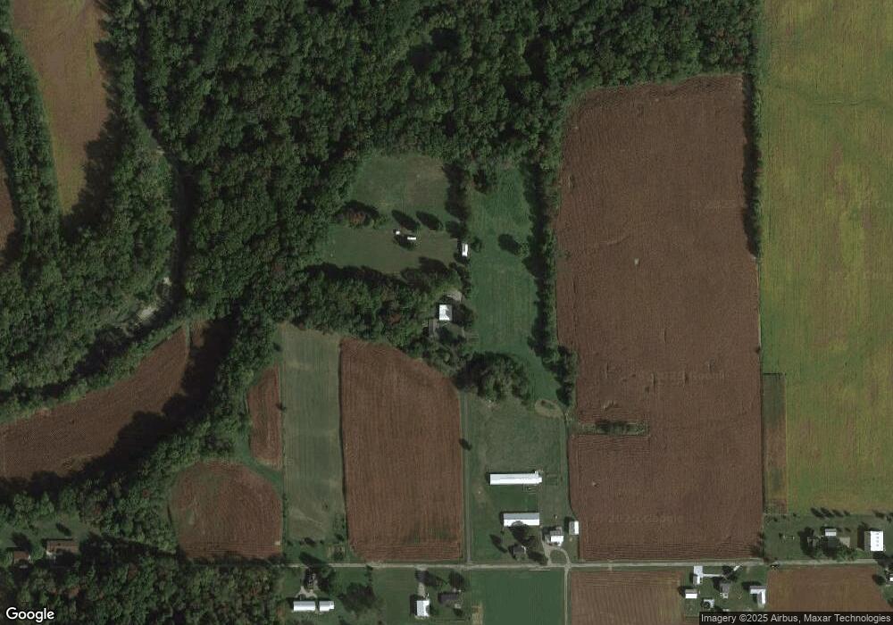
Map
Nearby Homes
- 6762 U S 35
- 0 State Rt 35 Unit 935251
- 60 Enterprise Rd
- 52 E 2nd St
- 60 Hope Ave
- 36 E 3rd St
- 37 Smith St
- 212 E 3rd St
- 0 U S 35
- 4801 Fisher Twin Rd
- 10 Western Dr
- 1389 Leon Dr
- 3292 Twin Creek Rd
- 15600 Dechant Rd
- 1148 State Route 503 N
- 3659 Winston Ln
- 1020 Howard Ct
- 1111 Bull Rd
- 14345 Old Dayton Rd
- 1179 Zehring Rd
- 7139 Stock Rd
- 7096 Stock Rd
- 7274 Stock Rd
- 7150 Stock Rd
- 6632 Us Route 35 E
- 7000 Stock Rd
- 7331 Stock Rd
- 7473 Stock Rd
- 7396 Stock Rd
- 7402 Stock Rd
- 0 Engle Unit 756241
- 0 Engle Unit 708342
- 0 State Route 503 - Tract 3 Unit 416368
- 0 State Route 503 - Tract 1 Unit 416364
- 151 Valhalla Dr
- 7441 Stock Rd
- 7520 Stock Rd
- 7597 Stock Rd
- 6436 Black Rd
- 7254 E Factory Rd