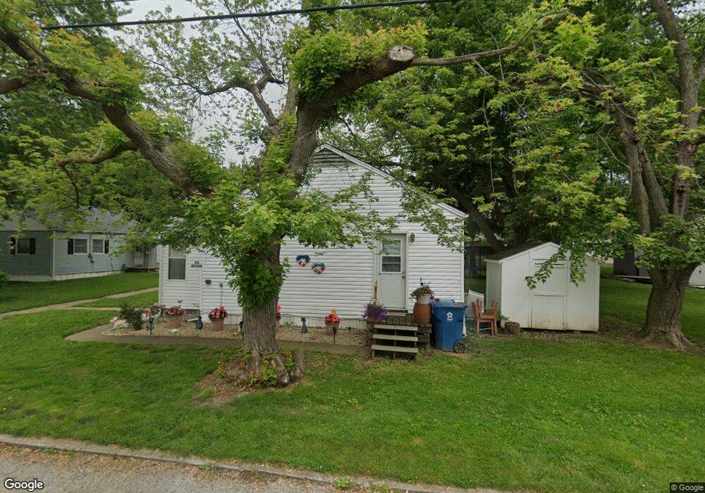
711 Bataan Ln Port Clinton, OH 43452
Estimated Value: $79,000 - $90,229
4
Beds
2
Baths
1,344
Sq Ft
$63/Sq Ft
Est. Value
About This Home
This home is located at 711 Bataan Ln, Port Clinton, OH 43452 and is currently estimated at $84,057, approximately $62 per square foot. 711 Bataan Ln is a home located in Ottawa County with nearby schools including Bataan Memorial Primary School, Bataan Memorial Intermediate School, and Port Clinton Middle School.
Ownership History
Date
Name
Owned For
Owner Type
Purchase Details
Closed on
Sep 14, 2016
Sold by
Zietzheim David Eric and Zeitzheim Diane M
Bought by
Debeez Llc
Current Estimated Value
Purchase Details
Closed on
Jun 8, 2000
Sold by
Hitchings William
Bought by
Zeitzheim David E and Zeitzheim Diane M
Home Financials for this Owner
Home Financials are based on the most recent Mortgage that was taken out on this home.
Original Mortgage
$28,000
Interest Rate
8.14%
Mortgage Type
New Conventional
Create a Home Valuation Report for This Property
The Home Valuation Report is an in-depth analysis detailing your home's value as well as a comparison with similar homes in the area
Home Values in the Area
Average Home Value in this Area
Purchase History
| Date | Buyer | Sale Price | Title Company |
|---|---|---|---|
| Debeez Llc | -- | Attorney | |
| Zeitzheim David E | $32,000 | -- |
Source: Public Records
Mortgage History
| Date | Status | Borrower | Loan Amount |
|---|---|---|---|
| Previous Owner | Zeitzheim David E | $28,000 |
Source: Public Records
Tax History
| Year | Tax Paid | Tax Assessment Tax Assessment Total Assessment is a certain percentage of the fair market value that is determined by local assessors to be the total taxable value of land and additions on the property. | Land | Improvement |
|---|---|---|---|---|
| 2024 | $704 | $20,224 | $2,867 | $17,357 |
| 2023 | $718 | $13,574 | $1,439 | $12,135 |
| 2022 | $539 | $13,574 | $1,439 | $12,135 |
| 2021 | $539 | $13,570 | $1,440 | $12,130 |
| 2020 | $396 | $10,410 | $1,420 | $8,990 |
| 2019 | $392 | $10,410 | $1,420 | $8,990 |
| 2018 | $391 | $10,410 | $1,420 | $8,990 |
| 2017 | $611 | $16,000 | $2,030 | $13,970 |
| 2016 | $612 | $16,000 | $2,030 | $13,970 |
| 2015 | $614 | $16,000 | $2,030 | $13,970 |
| 2014 | $310 | $16,000 | $2,030 | $13,970 |
| 2013 | $621 | $16,000 | $2,030 | $13,970 |
Source: Public Records
Map
Nearby Homes
- 606 Fremont Rd
- 630 W 6th St
- 415 Fremont Rd
- 413 W 3rd St
- 614 Clinton St
- 706 Taft St
- 713 Clinton St
- 735 Grant St
- 229 W 4th St
- 302 W 2nd St
- 1111 Grant St
- 545 W Lakeshore Dr Unit 11
- 5225-a W Lakeshore Dr
- 5225-b W Lakeshore Dr
- 711 W Lakeshore Dr Unit 408C
- 711 W Lakeshore Dr
- 274 Clinton Reef Dr
- 304 Clinton Reef Dr
- 111 E 10th St
- 2621 N Peachtree Lane # Sublot 1
Your Personal Tour Guide
Ask me questions while you tour the home.