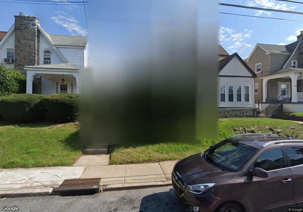
711 Bullock Ave Lansdowne, PA 19050
Estimated Value: $196,000 - $239,000
3
Beds
1
Bath
1,348
Sq Ft
$162/Sq Ft
Est. Value
About This Home
This home is located at 711 Bullock Ave, Lansdowne, PA 19050 and is currently estimated at $218,067, approximately $161 per square foot. 711 Bullock Ave is a home located in Delaware County with nearby schools including Evans Elementary School, Penn Wood Middle School, and Penn Wood High School - Cypress Street Campus.
Ownership History
Date
Name
Owned For
Owner Type
Purchase Details
Closed on
Jul 23, 1996
Sold by
Spruel Lawrence S and Young Warren K
Bought by
Awkward Ruth E
Current Estimated Value
Home Financials for this Owner
Home Financials are based on the most recent Mortgage that was taken out on this home.
Original Mortgage
$57,450
Outstanding Balance
$4,165
Interest Rate
8.27%
Mortgage Type
FHA
Estimated Equity
$213,902
Create a Home Valuation Report for This Property
The Home Valuation Report is an in-depth analysis detailing your home's value as well as a comparison with similar homes in the area
Home Values in the Area
Average Home Value in this Area
Purchase History
| Date | Buyer | Sale Price | Title Company |
|---|---|---|---|
| Awkward Ruth E | $57,500 | Commonwealth Land Title Ins |
Source: Public Records
Mortgage History
| Date | Status | Borrower | Loan Amount |
|---|---|---|---|
| Open | Awkward Ruth E | $57,450 |
Source: Public Records
Tax History Compared to Growth
Tax History
| Year | Tax Paid | Tax Assessment Tax Assessment Total Assessment is a certain percentage of the fair market value that is determined by local assessors to be the total taxable value of land and additions on the property. | Land | Improvement |
|---|---|---|---|---|
| 2025 | $4,323 | $101,240 | $32,250 | $68,990 |
| 2024 | $4,323 | $101,240 | $32,250 | $68,990 |
| 2023 | $3,926 | $101,240 | $32,250 | $68,990 |
| 2022 | $3,744 | $101,240 | $32,250 | $68,990 |
| 2021 | $5,661 | $101,240 | $32,250 | $68,990 |
| 2020 | $4,004 | $64,120 | $18,610 | $45,510 |
| 2019 | $3,934 | $64,120 | $18,610 | $45,510 |
| 2018 | $3,879 | $64,120 | $0 | $0 |
| 2017 | $3,798 | $64,120 | $0 | $0 |
| 2016 | $359 | $64,120 | $0 | $0 |
| 2015 | $359 | $64,120 | $0 | $0 |
| 2014 | $359 | $64,120 | $0 | $0 |
Source: Public Records
Map
Nearby Homes
- 711 Yeadon Ave Unit 1
- 702 Cedar Ave
- 740 Church Ln
- 722 Yeadon Ave
- 800 Bullock Ave
- 813 Arbor Rd
- 825 Laurel Rd
- 1016 Whitby Ave
- 808 Serrill Ave
- 537 Orchard Ave
- 536 Cypress St
- 908 Yeadon Ave
- 530 Orchard Ave
- 921 Serrill Ave
- 503 Bonsall Ave
- 939 Serrill Ave
- 435 Bonsall Ave
- 923 Bell Ave
- 407 Church Ln
- 603 Penn St
- 709 Bullock Ave
- 713 Bullock Ave
- 707 Bullock Ave
- 715 Bullock Ave
- 705 Bullock Ave
- 717 Bullock Ave
- 703 Bullock Ave
- 719 Bullock Ave
- 712 Church Ln
- 710 Church Ln
- 710 Church Ln Unit 2ND FL
- 714 Church Ln
- 708 Church Lane 120
- 708 Church Ln Unit 2ND FL
- 708 Church Ln
- 701 Bullock Ave
- 721 Bullock Ave
- 706 Church Ln
- 718 Church Ln
- 712 Bullock Ave