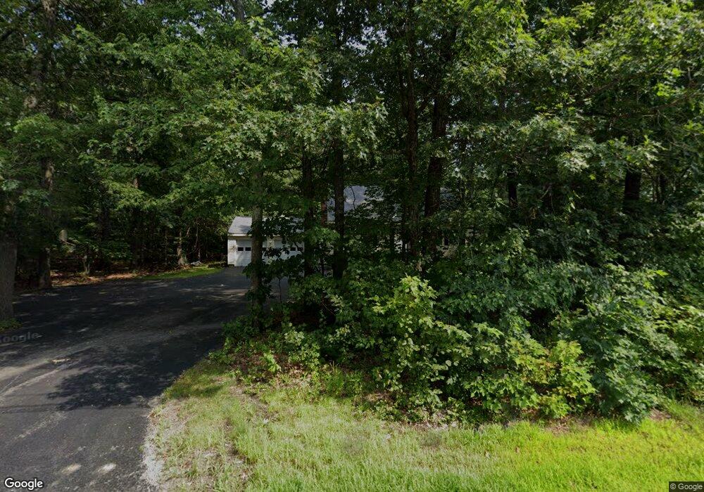
711 Burncoat St Worcester, MA 01606
Burncoat NeighborhoodEstimated Value: $557,688 - $599,000
3
Beds
3
Baths
1,862
Sq Ft
$313/Sq Ft
Est. Value
About This Home
This home is located at 711 Burncoat St, Worcester, MA 01606 and is currently estimated at $582,922, approximately $313 per square foot. 711 Burncoat St is a home located in Worcester County with nearby schools including Norrback Avenue Elementary School, Jacob Hiatt Magnet School, and Chandler Magnet.
Ownership History
Date
Name
Owned For
Owner Type
Purchase Details
Closed on
Aug 15, 2003
Sold by
Bergman Linda M
Bought by
Mcmaster Deborah M and White Kristin L
Current Estimated Value
Create a Home Valuation Report for This Property
The Home Valuation Report is an in-depth analysis detailing your home's value as well as a comparison with similar homes in the area
Home Values in the Area
Average Home Value in this Area
Purchase History
| Date | Buyer | Sale Price | Title Company |
|---|---|---|---|
| Mcmaster Deborah M | -- | -- |
Source: Public Records
Tax History Compared to Growth
Tax History
| Year | Tax Paid | Tax Assessment Tax Assessment Total Assessment is a certain percentage of the fair market value that is determined by local assessors to be the total taxable value of land and additions on the property. | Land | Improvement |
|---|---|---|---|---|
| 2025 | $6,657 | $504,700 | $126,000 | $378,700 |
| 2024 | $6,502 | $472,900 | $126,000 | $346,900 |
| 2023 | $6,290 | $438,600 | $110,400 | $328,200 |
| 2022 | $5,842 | $384,100 | $89,600 | $294,500 |
| 2021 | $5,877 | $361,000 | $73,000 | $288,000 |
| 2020 | $5,761 | $338,900 | $72,900 | $266,000 |
| 2019 | $5,515 | $306,400 | $66,600 | $239,800 |
| 2018 | $5,526 | $292,200 | $66,600 | $225,600 |
| 2017 | $5,278 | $274,600 | $66,600 | $208,000 |
| 2016 | $5,363 | $260,200 | $52,100 | $208,100 |
| 2015 | $5,222 | $260,200 | $52,100 | $208,100 |
| 2014 | $5,084 | $260,200 | $52,100 | $208,100 |
Source: Public Records
Map
Nearby Homes
- 740 Burncoat St Unit B
- 7 Christy Ct
- 59 Santoro Rd
- 156 Hillside Village Dr
- 83 Hillside Village Dr
- 97 Hillside Village Dr
- 1110 W Boylston St Unit A
- 12 Birchbrush Ln
- 1097 W Boylston St
- 33 Isleboro St
- 29 Isleboro St
- 33 Meola Ave
- 39 Meola Ave
- 602 Burncoat St
- 12 Dixfield Rd
- 1 Highland Ave
- 31 Danielles Way
- 22 Danielles Way
- 26 Danielles Way
- 44 Dixfield St
- 699 Burncoat St
- 719 Burncoat St
- 719 Burncoat St Unit 1
- 708 Burncoat St
- 716 Burncoat St
- 721 Burncoat St
- 37 Cliveden St
- 706 Burncoat St
- 720 Burncoat St
- 3 Eustis St
- 32 Cliveden St Unit 34
- 32 Cliveden St Unit 32
- 697A Burncoat St
- 697 Burncoat St
- 725 Burncoat St
- 35 Cliveden St
- 34 Cliveden St Unit 34
- 4 Northgate Cir
- 695 Burncoat St
- 100 Apthorp St