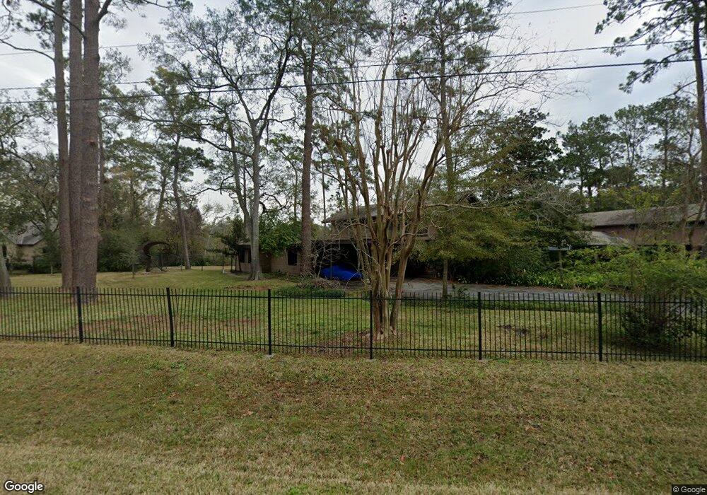
711 Crestbend Dr Houston, TX 77042
Briar Forest NeighborhoodEstimated Value: $2,418,857 - $3,959,000
9
Beds
7
Baths
8,351
Sq Ft
$384/Sq Ft
Est. Value
About This Home
This home is located at 711 Crestbend Dr, Houston, TX 77042 and is currently estimated at $3,206,286, approximately $383 per square foot. 711 Crestbend Dr is a home located in Harris County with nearby schools including Walnut Bend Elementary School, Paul Revere Middle School, and Westside High School.
Ownership History
Date
Name
Owned For
Owner Type
Purchase Details
Closed on
Jan 29, 2025
Sold by
Sherwood Edith Mary and Sherwood John William
Bought by
Edith Sherwood Family Trust and Sherwood
Current Estimated Value
Create a Home Valuation Report for This Property
The Home Valuation Report is an in-depth analysis detailing your home's value as well as a comparison with similar homes in the area
Home Values in the Area
Average Home Value in this Area
Purchase History
| Date | Buyer | Sale Price | Title Company |
|---|---|---|---|
| Edith Sherwood Family Trust | -- | None Listed On Document |
Source: Public Records
Tax History Compared to Growth
Tax History
| Year | Tax Paid | Tax Assessment Tax Assessment Total Assessment is a certain percentage of the fair market value that is determined by local assessors to be the total taxable value of land and additions on the property. | Land | Improvement |
|---|---|---|---|---|
| 2025 | $17,152 | $2,299,137 | $1,506,514 | $792,623 |
| 2024 | $17,152 | $2,095,412 | $1,291,298 | $804,114 |
| 2023 | $16,331 | $2,095,412 | $1,291,298 | $804,114 |
| 2022 | $45,046 | $2,045,798 | $1,290,572 | $755,226 |
| 2021 | $46,870 | $2,010,995 | $1,290,572 | $720,423 |
| 2020 | $47,594 | $1,965,397 | $1,290,572 | $674,825 |
| 2019 | $49,655 | $1,962,306 | $1,290,572 | $671,734 |
| 2018 | $24,007 | $1,962,306 | $1,290,572 | $671,734 |
| 2017 | $49,618 | $1,962,306 | $1,290,572 | $671,734 |
| 2016 | $46,144 | $1,962,306 | $1,326,616 | $635,690 |
| 2015 | $20,347 | $1,791,632 | $1,077,876 | $713,756 |
| 2014 | $20,347 | $1,508,179 | $974,234 | $533,945 |
Source: Public Records
Map
Nearby Homes
- 1 Woodstone St
- 8 Woodstone St
- 10010 Bordley Dr
- 10 Warrenton Dr
- 3 Plantation Rd
- 10034 Bordley Dr
- 150 Gessner Rd Unit 5A
- 6 Gessner Rd
- 10121 Valley Forge Dr
- 170 Haversham Dr
- 0 Gessner Rd
- 10034 Briar Forest Dr
- 10042 Briar Forest Dr
- 45 Bayou Pointe Dr
- 201 Vanderpool Ln Unit 103
- 201 Vanderpool Ln Unit 65
- 201 Vanderpool Ln Unit 64
- 30 E Rivercrest Dr
- 10212 Longmont Dr Unit 44/7
- 12327 Tunbridge Ln
- 801 Crestbend Dr
- 701 Crestbend Dr
- 702 Crestbend Dr
- 802 Crestbend Dr
- 811 Crestbend Dr
- 803 Briarpark Dr
- 715 Briarpark Dr
- 711 Briarpark Dr
- 807 Briarpark Dr
- 4 Woodstone St
- 707 Briarpark Dr
- 811 Briarpark Dr
- 3 Woodstone St
- 611 Crestbend Dr
- 703 Briarpark Dr
- 2 Woodstone St
- 815 Briarpark Dr
- 615 Briarpark Dr
- 5 Woodstone St
- 600 Crestbend Dr