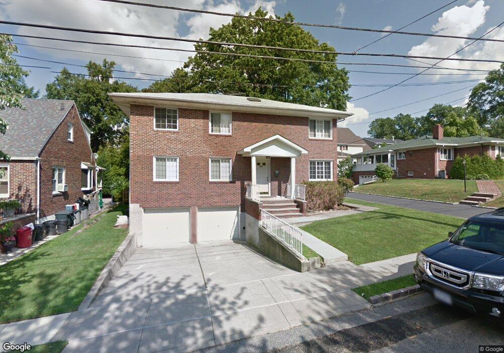
711 Davis Ave Unit 1 Staten Island, NY 10310
West Brighton NeighborhoodEstimated Value: $867,000 - $1,047,778
3
Beds
2
Baths
2,232
Sq Ft
$432/Sq Ft
Est. Value
About This Home
This home is located at 711 Davis Ave Unit 1, Staten Island, NY 10310 and is currently estimated at $964,945, approximately $432 per square foot. 711 Davis Ave Unit 1 is a home located in Richmond County with nearby schools including P.S. 45 John Tyler, Is 61 William A Morris, and Curtis High School.
Ownership History
Date
Name
Owned For
Owner Type
Purchase Details
Closed on
Jan 4, 2005
Sold by
Raguthu Simhachalam
Bought by
Raguthu Surya P and Raguthu Manjula
Current Estimated Value
Home Financials for this Owner
Home Financials are based on the most recent Mortgage that was taken out on this home.
Original Mortgage
$580,000
Interest Rate
5.12%
Mortgage Type
Fannie Mae Freddie Mac
Create a Home Valuation Report for This Property
The Home Valuation Report is an in-depth analysis detailing your home's value as well as a comparison with similar homes in the area
Home Values in the Area
Average Home Value in this Area
Purchase History
| Date | Buyer | Sale Price | Title Company |
|---|---|---|---|
| Raguthu Surya P | $725,000 | Fidelity National Title Ins |
Source: Public Records
Mortgage History
| Date | Status | Borrower | Loan Amount |
|---|---|---|---|
| Previous Owner | Raguthu Surya P | $580,000 |
Source: Public Records
Tax History Compared to Growth
Tax History
| Year | Tax Paid | Tax Assessment Tax Assessment Total Assessment is a certain percentage of the fair market value that is determined by local assessors to be the total taxable value of land and additions on the property. | Land | Improvement |
|---|---|---|---|---|
| 2025 | $9,955 | $66,660 | $14,052 | $52,608 |
| 2024 | $9,955 | $54,840 | $16,865 | $37,975 |
| 2023 | $10,066 | $49,565 | $15,492 | $34,073 |
| 2022 | $9,383 | $51,720 | $18,660 | $33,060 |
| 2021 | $9,332 | $45,900 | $18,660 | $27,240 |
| 2020 | $8,948 | $50,040 | $18,660 | $31,380 |
| 2019 | $8,733 | $52,020 | $18,660 | $33,360 |
| 2018 | $8,420 | $41,304 | $18,195 | $23,109 |
| 2017 | $7,984 | $39,168 | $17,477 | $21,691 |
| 2016 | $7,387 | $36,951 | $17,025 | $19,926 |
| 2015 | $6,606 | $34,860 | $20,760 | $14,100 |
| 2014 | $6,606 | $34,420 | $17,437 | $16,983 |
Source: Public Records
Map
Nearby Homes
- 100 Lawrence Ave
- 34 Harvest Ave
- 1 Whitewood Ave
- 152 Harvest Ave
- 677 Bement Ave
- 710 Oakland Ave
- 605 Bard Ave
- 1 Sunset Hill Dr
- 145 Norma Place
- 751 Oakland Ave
- 20 Baker Place
- 54 City Blvd
- 372 Sharon Ave
- 64 Greenway Dr
- 40 Greenway Dr
- 706 Broadway
- 967 Bard Ave
- 244 Delafield Ave
- 26 Fairway Ln
- 432 Pelton Ave