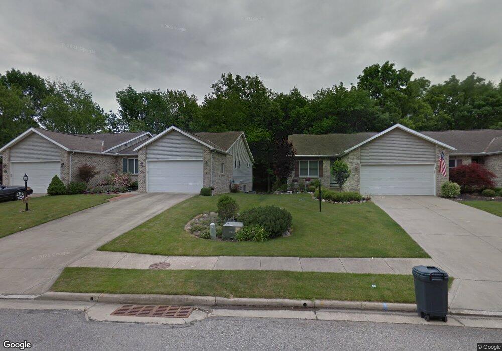
711 Deborah Ct Mansfield, OH 44904
Estimated Value: $272,445 - $316,000
3
Beds
2
Baths
2,012
Sq Ft
$150/Sq Ft
Est. Value
About This Home
This home is located at 711 Deborah Ct, Mansfield, OH 44904 and is currently estimated at $301,111, approximately $149 per square foot. 711 Deborah Ct is a home located in Richland County with nearby schools including Lexington High School, Mansfield Christian School, and Discovery School.
Ownership History
Date
Name
Owned For
Owner Type
Purchase Details
Closed on
Feb 8, 2000
Sold by
South Side Dev Co
Bought by
Phillips Jerry M and Phillips Sarah E
Current Estimated Value
Home Financials for this Owner
Home Financials are based on the most recent Mortgage that was taken out on this home.
Original Mortgage
$80,000
Interest Rate
7.98%
Mortgage Type
New Conventional
Create a Home Valuation Report for This Property
The Home Valuation Report is an in-depth analysis detailing your home's value as well as a comparison with similar homes in the area
Home Values in the Area
Average Home Value in this Area
Purchase History
| Date | Buyer | Sale Price | Title Company |
|---|---|---|---|
| Phillips Jerry M | $146,400 | -- |
Source: Public Records
Mortgage History
| Date | Status | Borrower | Loan Amount |
|---|---|---|---|
| Closed | Phillips Jerry M | $80,000 |
Source: Public Records
Tax History
| Year | Tax Paid | Tax Assessment Tax Assessment Total Assessment is a certain percentage of the fair market value that is determined by local assessors to be the total taxable value of land and additions on the property. | Land | Improvement |
|---|---|---|---|---|
| 2024 | $2,571 | $64,210 | $7,460 | $56,750 |
| 2023 | $2,661 | $64,210 | $7,460 | $56,750 |
| 2022 | $2,670 | $55,760 | $7,210 | $48,550 |
| 2021 | $2,680 | $55,760 | $7,210 | $48,550 |
| 2020 | $2,681 | $55,760 | $7,210 | $48,550 |
| 2019 | $2,382 | $47,260 | $6,110 | $41,150 |
| 2018 | $2,027 | $47,260 | $6,110 | $41,150 |
| 2017 | $2,005 | $47,260 | $6,110 | $41,150 |
| 2016 | $2,087 | $48,050 | $5,930 | $42,120 |
| 2015 | $2,086 | $48,050 | $5,930 | $42,120 |
| 2014 | $2,086 | $48,050 | $5,930 | $42,120 |
| 2012 | $1,020 | $49,530 | $6,110 | $43,420 |
Source: Public Records
Map
Nearby Homes
- 0 Rippling Brook Dr
- 1702 Middle Bellville Rd
- 1689 Middle Bellville Rd
- 680 Weller Ave
- 763 York St W
- 635 Karlson Dr
- 615 Bailey Dr
- 893 Greenfield Dr
- 601 Karlson Dr
- 594 Dirlam Ln
- 1521 Cape Cod Dr
- 540 Sherwood Dr
- 1938 Richwood Dr
- 1490 Hess Cir
- 1510 Cape Cod Dr Unit 1504
- 1485 Overdale Dr
- 1480 Overdale Dr
- 1476 Overdale Dr
- 0 Lot #23132 Hess Cir
- 0 Lot #23127 Hess Cir
- 709 Deborah Ct
- 715 Deborah Ct
- 717 Deborah Ct
- 0 Deborah Ct Lot 22660
- 0 Deborah Ct Lot 22665
- 721 Deborah Ct
- 723 Deborah Ct
- 697 Deborah Ct
- 0 Deborah Ct Lot 22663
- 727 Deborah Ct
- 704 Deborah Ct
- 1707 Rocky Rill Ct
- 729 Deborah Ct
- 684 Deborah Ct
- 1669 Rippling Brook Dr (P)
- 1669 Rippling Brook Dr
- 0 Deborah Ct Lot 22666
- 1667 Rippling Brook Dr
- 0 Deborah Ct Lot 22674
- 1709 Rocky Rill Ct
Your Personal Tour Guide
Ask me questions while you tour the home.