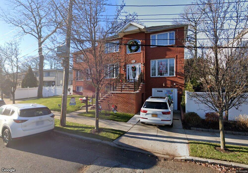
711 Durant Ave Staten Island, NY 10308
Great Kills NeighborhoodEstimated Value: $1,002,000 - $1,268,000
4
Beds
4
Baths
3,662
Sq Ft
$303/Sq Ft
Est. Value
About This Home
This home is located at 711 Durant Ave, Staten Island, NY 10308 and is currently estimated at $1,110,844, approximately $303 per square foot. 711 Durant Ave is a home located in Richmond County with nearby schools including P.S. 8 Shirlee Solomon, Myra S. Barnes Intermediate School 24, and New Dorp High School.
Ownership History
Date
Name
Owned For
Owner Type
Purchase Details
Closed on
Jan 2, 2016
Sold by
Gianna Group Inc
Bought by
Paoli Edward Delli
Current Estimated Value
Purchase Details
Closed on
Feb 27, 2008
Sold by
Paoli Edward Delli
Bought by
Gianna Group Inc
Purchase Details
Closed on
May 2, 2007
Sold by
Dbegd Corp
Bought by
Paoli Edward Delli
Home Financials for this Owner
Home Financials are based on the most recent Mortgage that was taken out on this home.
Original Mortgage
$300,000
Interest Rate
6.14%
Mortgage Type
Purchase Money Mortgage
Create a Home Valuation Report for This Property
The Home Valuation Report is an in-depth analysis detailing your home's value as well as a comparison with similar homes in the area
Home Values in the Area
Average Home Value in this Area
Purchase History
| Date | Buyer | Sale Price | Title Company |
|---|---|---|---|
| Paoli Edward Delli | -- | None Available | |
| Gianna Group Inc | -- | None Available | |
| Paoli Edward Delli | -- | Stewart Title Insurance Co |
Source: Public Records
Mortgage History
| Date | Status | Borrower | Loan Amount |
|---|---|---|---|
| Previous Owner | Paoli Edward Delli | $300,000 |
Source: Public Records
Tax History Compared to Growth
Tax History
| Year | Tax Paid | Tax Assessment Tax Assessment Total Assessment is a certain percentage of the fair market value that is determined by local assessors to be the total taxable value of land and additions on the property. | Land | Improvement |
|---|---|---|---|---|
| 2025 | $5,454 | $71,700 | $9,297 | $62,403 |
| 2024 | $5,454 | $68,160 | $9,226 | $58,934 |
| 2023 | $5,203 | $51,235 | $7,407 | $43,828 |
| 2022 | $5,059 | $69,960 | $11,580 | $58,380 |
| 2021 | $5,334 | $60,240 | $11,580 | $48,660 |
| 2020 | $5,077 | $59,820 | $11,580 | $48,240 |
| 2019 | $4,734 | $59,940 | $11,580 | $48,360 |
| 2018 | $4,352 | $42,696 | $9,353 | $33,343 |
| 2017 | $8,611 | $42,240 | $11,580 | $30,660 |
| 2016 | $8,471 | $42,374 | $9,877 | $32,497 |
| 2015 | $6,528 | $39,976 | $8,391 | $31,585 |
| 2014 | $6,528 | $37,714 | $9,502 | $28,212 |
Source: Public Records
Map
Nearby Homes
- 177 Hillside Terrace
- 23 Melrose Place
- 76 Whitman Ave
- 7 Cottage Ave
- 71 Grandview Terrace
- 16 Florence St
- 289 Maybury Ave
- 309 Cleveland Ave
- 0 Dent Rd
- 142 Great Kills Rd Unit A
- 268 Nelson Ave
- 31 Hillcrest St
- 346 Cleveland Ave
- 241 Lindenwood Rd
- 21 Coral Ct
- 249 Lindenwood Rd
- 69 Hillcrest Ave
- 51 Yacht Club Cove Unit 51
- 51 Yacht Club Cove St Unit 51
- 14 Yacht Club Cove St Unit 14
- 717 Durant Ave
- 208 Hillside Terrace
- 198 Hillside Terrace
- 719 Durant Ave
- 721 Durant Ave
- 723 Durant Ave
- 16 Grandview Terrace
- 725 Durant Ave
- 226 Hillside Terrace
- 194 Hillside Terrace
- 20 Grandview Terrace
- 731 Durant Ave
- 205 Hillside Terrace
- 6 Ocean Rd
- 28 Grandview Terrace
- 197 Hillside Terrace
- 230 Hillside Terrace
- 739 Durant Ave
- 217 Hillside Terrace
- 193 Hillside Terrace