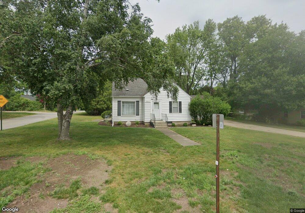
711 Ferris St NW Grand Rapids, MI 49544
Estimated Value: $223,000 - $276,767
3
Beds
2
Baths
1,058
Sq Ft
$241/Sq Ft
Est. Value
About This Home
This home is located at 711 Ferris St NW, Grand Rapids, MI 49544 and is currently estimated at $255,192, approximately $241 per square foot. 711 Ferris St NW is a home located in Kent County with nearby schools including Kenowa Hills Central Elementary School, Kenowa Hills Middle School, and Kenowa Hills High School.
Ownership History
Date
Name
Owned For
Owner Type
Purchase Details
Closed on
Oct 17, 2024
Sold by
Veen Delores Ann
Bought by
Mankel Brett D
Current Estimated Value
Home Financials for this Owner
Home Financials are based on the most recent Mortgage that was taken out on this home.
Original Mortgage
$150,000
Outstanding Balance
$148,423
Interest Rate
6.35%
Mortgage Type
New Conventional
Estimated Equity
$106,769
Create a Home Valuation Report for This Property
The Home Valuation Report is an in-depth analysis detailing your home's value as well as a comparison with similar homes in the area
Home Values in the Area
Average Home Value in this Area
Purchase History
| Date | Buyer | Sale Price | Title Company |
|---|---|---|---|
| Mankel Brett D | $235,000 | None Listed On Document |
Source: Public Records
Mortgage History
| Date | Status | Borrower | Loan Amount |
|---|---|---|---|
| Open | Mankel Brett D | $150,000 |
Source: Public Records
Tax History Compared to Growth
Tax History
| Year | Tax Paid | Tax Assessment Tax Assessment Total Assessment is a certain percentage of the fair market value that is determined by local assessors to be the total taxable value of land and additions on the property. | Land | Improvement |
|---|---|---|---|---|
| 2025 | $1,713 | $132,700 | $0 | $0 |
| 2024 | $1,713 | $109,100 | $0 | $0 |
| 2023 | $1,638 | $94,700 | $0 | $0 |
| 2022 | $1,763 | $88,400 | $0 | $0 |
| 2021 | $1,718 | $81,300 | $0 | $0 |
| 2020 | $1,508 | $75,900 | $0 | $0 |
| 2019 | $2,623 | $69,600 | $0 | $0 |
| 2018 | $1,630 | $66,200 | $0 | $0 |
| 2017 | $1,585 | $63,300 | $0 | $0 |
| 2016 | $1,522 | $56,900 | $0 | $0 |
| 2015 | $1,331 | $56,900 | $0 | $0 |
| 2013 | -- | $49,700 | $0 | $0 |
Source: Public Records
Map
Nearby Homes
- 2222 Hoyle Ave NW
- 825 Roger St NW
- 947 Roger St NW
- 3343 Springbrook Dr NW
- 1152 Birdie Dr NW Unit 55
- 132 Graceland St NE
- 2723 Oakwood Ave NE
- 2765 Oakwood Ave NE
- 114 Knapp St NE
- 2630 Oakwood Ave NE
- 1528 Alpine Ave NW
- 1324 4 Mile Rd NW
- 30 Palmer St NW
- 1922 Coit Ave NE
- 120 Dean St NE
- 143 Dean St NE
- 15 Palmer St NE
- 321 Knapp St NE
- 1450 Hamilton Ave NW
- 1628 Ira Ave NW
- 663 Ferris St NW
- 2656 Hufford Ave NW
- 2645 Hufford Ave NW
- 727 Ferris St NW
- 2655 Hufford Ave NW
- 700 Ferris St NW
- 2659 Hufford Ave NW
- 729 Ferris St NW
- 712 Ferris St NW
- 708 Ferris St NW
- 716 Ferris St NW
- 664 Ferris St NW
- 649 Ferris St NW
- 660 Ferris St NW
- 737 Ferris St NW
- 2629 Miller Ave NW
- 645 Ferris St NW
- 2615 Miller Ave NW
- 2613 Miller Ave NW
- 2611 Miller Ave NW