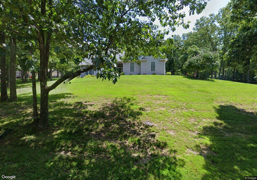
711 Forest Dr Sullivan, MO 63080
Estimated Value: $274,922 - $355,000
Studio
--
Bath
1,747
Sq Ft
$186/Sq Ft
Est. Value
About This Home
This home is located at 711 Forest Dr, Sullivan, MO 63080 and is currently estimated at $324,731, approximately $185 per square foot. 711 Forest Dr is a home with nearby schools including Sullivan Primary School, Sullivan Elementary School, and Sullivan Middle School.
Ownership History
Date
Name
Owned For
Owner Type
Purchase Details
Closed on
Mar 27, 2009
Sold by
Heibrink Maggie L and West Maggie L
Bought by
Heibdrink Maggie L and Heibdrink Brandon M
Current Estimated Value
Purchase Details
Closed on
Mar 20, 2004
Sold by
West Lawrence A and West Cynthia
Bought by
West Maggie L
Home Financials for this Owner
Home Financials are based on the most recent Mortgage that was taken out on this home.
Original Mortgage
$220,500
Interest Rate
5.8%
Mortgage Type
New Conventional
Create a Home Valuation Report for This Property
The Home Valuation Report is an in-depth analysis detailing your home's value as well as a comparison with similar homes in the area
Home Values in the Area
Average Home Value in this Area
Purchase History
| Date | Buyer | Sale Price | Title Company |
|---|---|---|---|
| Heibdrink Maggie L | -- | None Available | |
| West Maggie L | -- | Alliance Title |
Source: Public Records
Mortgage History
| Date | Status | Borrower | Loan Amount |
|---|---|---|---|
| Previous Owner | West Maggie L | $220,500 |
Source: Public Records
Tax History
| Year | Tax Paid | Tax Assessment Tax Assessment Total Assessment is a certain percentage of the fair market value that is determined by local assessors to be the total taxable value of land and additions on the property. | Land | Improvement |
|---|---|---|---|---|
| 2025 | $1,990 | $34,500 | $0 | $0 |
| 2024 | $1,990 | $34,500 | $0 | $0 |
| 2023 | $1,979 | $34,500 | $0 | $0 |
| 2022 | $1,979 | $34,500 | $0 | $0 |
| 2021 | $1,991 | $34,500 | $0 | $0 |
| 2020 | $1,891 | $32,220 | $0 | $0 |
| 2019 | $1,891 | $32,220 | $0 | $0 |
| 2018 | $1,916 | $32,220 | $0 | $0 |
| 2017 | $1,943 | $32,220 | $0 | $0 |
| 2016 | $1,943 | $32,220 | $0 | $0 |
| 2015 | -- | $32,220 | $0 | $0 |
| 2014 | -- | $32,220 | $0 | $0 |
| 2013 | -- | $32,220 | $0 | $0 |
Source: Public Records
Map
Nearby Homes
- 704 Forest Dr
- 705 Forest Dr
- 590 Country Ln
- 527 Country Ln
- 1 Adams Dr
- 1027 Westview Dr
- 0 Country Ln
- 1 Brand Ridge Rd
- 620 Westview Dr
- Lot 28 Country Ln
- 902 Westview Dr
- 408 Country Ln
- 911 Hilltop Dr
- 3000 Ridge Rd
- 404 Country Ln
- 1060 Lostview Dr
- 902 Hilltop Dr
- 910 Hilltop Dr
- 916 Hilltop Dr
- 948 Watson Rd