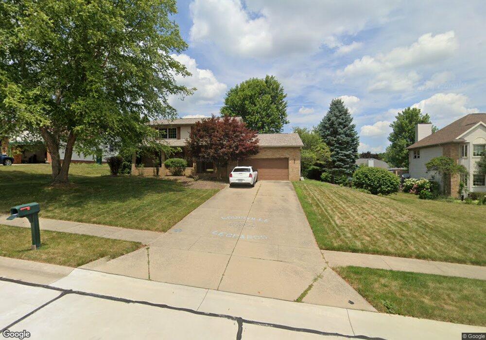
711 Glencarlyn Ave Louisville, OH 44641
Estimated Value: $272,197 - $325,000
3
Beds
3
Baths
2,212
Sq Ft
$135/Sq Ft
Est. Value
About This Home
This home is located at 711 Glencarlyn Ave, Louisville, OH 44641 and is currently estimated at $299,549, approximately $135 per square foot. 711 Glencarlyn Ave is a home located in Stark County with nearby schools including Louisville High School and St. Thomas Aquinas High School & Middle School.
Ownership History
Date
Name
Owned For
Owner Type
Purchase Details
Closed on
Sep 6, 1994
Sold by
Constitution Dev
Bought by
Doerschuk Sherri
Current Estimated Value
Home Financials for this Owner
Home Financials are based on the most recent Mortgage that was taken out on this home.
Original Mortgage
$81,200
Interest Rate
8.59%
Mortgage Type
New Conventional
Create a Home Valuation Report for This Property
The Home Valuation Report is an in-depth analysis detailing your home's value as well as a comparison with similar homes in the area
Home Values in the Area
Average Home Value in this Area
Purchase History
| Date | Buyer | Sale Price | Title Company |
|---|---|---|---|
| Doerschuk Sherri | $19,300 | -- |
Source: Public Records
Mortgage History
| Date | Status | Borrower | Loan Amount |
|---|---|---|---|
| Closed | Doerschuk Sherri | $81,200 |
Source: Public Records
Tax History Compared to Growth
Tax History
| Year | Tax Paid | Tax Assessment Tax Assessment Total Assessment is a certain percentage of the fair market value that is determined by local assessors to be the total taxable value of land and additions on the property. | Land | Improvement |
|---|---|---|---|---|
| 2025 | -- | $85,300 | $15,820 | $69,480 |
| 2024 | -- | $85,300 | $15,820 | $69,480 |
| 2023 | $2,781 | $64,720 | $13,090 | $51,630 |
| 2022 | $2,787 | $64,720 | $13,090 | $51,630 |
| 2021 | $2,795 | $64,720 | $13,090 | $51,630 |
| 2020 | $2,312 | $58,140 | $11,800 | $46,340 |
| 2019 | $2,321 | $58,140 | $11,800 | $46,340 |
| 2018 | $2,312 | $58,140 | $11,800 | $46,340 |
| 2017 | $2,176 | $52,780 | $9,870 | $42,910 |
| 2016 | $2,220 | $52,780 | $9,870 | $42,910 |
| 2015 | $2,227 | $52,780 | $9,870 | $42,910 |
| 2014 | $124 | $46,800 | $8,750 | $38,050 |
| 2013 | $1,066 | $46,800 | $8,750 | $38,050 |
Source: Public Records
Map
Nearby Homes
- 300 Kennedy St
- 1149 Sturbridge Dr
- 1175 Sturbridge Dr
- 428 Honeycrisp Dr NE
- 3047 Mcintosh Dr NE
- 432 Honeycrisp Dr NE
- 2962 Mcintosh Dr NE
- 2963 Mcintosh Dr NE
- 430 Honeycrisp Dr NE
- 2957 Mcintosh Dr NE
- 614 Reno Dr
- 524 Glenbar St
- 0 Brookridge Ave
- 0 Glenbar St
- 325 Lincoln Ave
- 316 E Reno Dr
- 248 Menegay Rd
- 3580 Brookridge Ave Lot 15
- 201 Indiana Ave
- 5474 Ravenna Ave
- 721 Glencarlyn Ave
- 712 Joel Cir
- 722 Joel Cir
- 702 Joel Cir
- 731 Glencarlyn Ave
- 712 Glencarlyn Ave
- 722 Glencarlyn Ave
- 702 Glencarlyn Ave
- 732 Glencarlyn Ave
- 801 Glencarlyn Ave
- 1064 Danielle Ave
- 1070 Danielle Ave
- 802 Joel Cir
- 1078 Danielle Ave
- 802 Glencarlyn Ave
- 711 Frana Clara St
- 1014 Danielle Ave
- 713 Joel Cir
- 721 Frana Clara St
- 1005 Danielle Ave