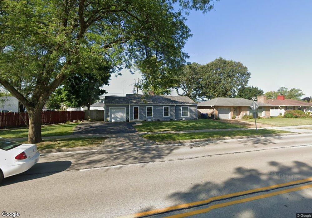
711 Golf Rd Waukegan, IL 60087
Marquette Highlands NeighborhoodEstimated Value: $179,000 - $213,530
2
Beds
1
Bath
1,064
Sq Ft
$186/Sq Ft
Est. Value
About This Home
This home is located at 711 Golf Rd, Waukegan, IL 60087 and is currently estimated at $197,383, approximately $185 per square foot. 711 Golf Rd is a home located in Lake County with nearby schools including Greenwood Elementary School, Edith M Smith Middle School, and Waukegan High School.
Ownership History
Date
Name
Owned For
Owner Type
Purchase Details
Closed on
Jul 28, 2000
Sold by
Petron Sandra and Timmons Sandra J
Bought by
Lynom Elizabeth A
Current Estimated Value
Home Financials for this Owner
Home Financials are based on the most recent Mortgage that was taken out on this home.
Original Mortgage
$90,557
Outstanding Balance
$32,765
Interest Rate
8.19%
Mortgage Type
FHA
Estimated Equity
$164,618
Create a Home Valuation Report for This Property
The Home Valuation Report is an in-depth analysis detailing your home's value as well as a comparison with similar homes in the area
Home Values in the Area
Average Home Value in this Area
Purchase History
| Date | Buyer | Sale Price | Title Company |
|---|---|---|---|
| Lynom Elizabeth A | $92,000 | -- |
Source: Public Records
Mortgage History
| Date | Status | Borrower | Loan Amount |
|---|---|---|---|
| Open | Lynom Elizabeth A | $90,557 |
Source: Public Records
Tax History Compared to Growth
Tax History
| Year | Tax Paid | Tax Assessment Tax Assessment Total Assessment is a certain percentage of the fair market value that is determined by local assessors to be the total taxable value of land and additions on the property. | Land | Improvement |
|---|---|---|---|---|
| 2024 | $2,875 | $50,985 | $8,630 | $42,355 |
| 2023 | $3,529 | $46,493 | $7,870 | $38,623 |
| 2022 | $3,529 | $42,094 | $7,529 | $34,565 |
| 2021 | $3,176 | $36,466 | $6,715 | $29,751 |
| 2020 | $3,171 | $33,973 | $6,256 | $27,717 |
| 2019 | $3,139 | $31,131 | $5,733 | $25,398 |
| 2018 | $2,614 | $26,596 | $7,376 | $19,220 |
| 2017 | $2,494 | $23,530 | $6,526 | $17,004 |
| 2016 | $2,233 | $20,447 | $5,671 | $14,776 |
| 2015 | $2,078 | $18,301 | $5,076 | $13,225 |
| 2014 | $2,091 | $17,895 | $4,727 | $13,168 |
| 2012 | $2,811 | $19,390 | $5,122 | $14,268 |
Source: Public Records
Map
Nearby Homes
- 616 W Keith Ave
- 1905 Linden Ave
- 1018 W Atlantic Ave
- 1336 N Ash St
- 1335 Chestnut St
- 2232 Walnut St
- 1312 N Linden Ave
- 1110 N Ash St
- 1105 Woodlawn Cir
- 1504 W Glen Flora Ave
- 2213 Alta Vista Dr
- 2246 Alta Vista Dr
- 918 N Ash St
- 415 W Ridgeland Ave
- 1000 Pine St
- 1117 Judge Ave
- 301 W Eagle Ct
- 917 N Linden Ave
- 0 Traditions Dr
- 1109 Massena Ave