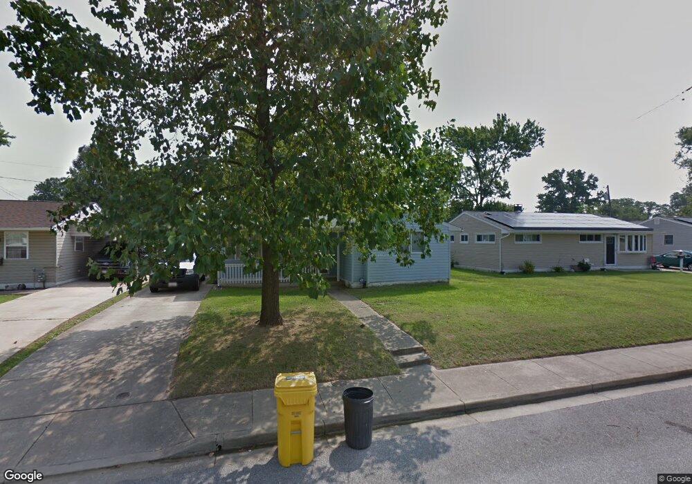
711 Hamlen Rd Glen Burnie, MD 21061
Estimated Value: $343,189 - $399,000
--
Bed
1
Bath
1,308
Sq Ft
$276/Sq Ft
Est. Value
About This Home
This home is located at 711 Hamlen Rd, Glen Burnie, MD 21061 and is currently estimated at $361,547, approximately $276 per square foot. 711 Hamlen Rd is a home located in Anne Arundel County with nearby schools including Richard Henry Lee Elementary School, Corkran Middle School, and Glen Burnie High School.
Ownership History
Date
Name
Owned For
Owner Type
Purchase Details
Closed on
Aug 25, 1997
Sold by
Emc Mortgage Corp
Bought by
Bray Ronnie T and Bray Michelle Y
Current Estimated Value
Purchase Details
Closed on
Apr 28, 1997
Sold by
Desautels Dana L
Bought by
Emc Mortgage Corp
Purchase Details
Closed on
Sep 11, 1989
Sold by
Long George S
Bought by
Desautels Dana L
Home Financials for this Owner
Home Financials are based on the most recent Mortgage that was taken out on this home.
Original Mortgage
$90,150
Interest Rate
10.17%
Create a Home Valuation Report for This Property
The Home Valuation Report is an in-depth analysis detailing your home's value as well as a comparison with similar homes in the area
Home Values in the Area
Average Home Value in this Area
Purchase History
| Date | Buyer | Sale Price | Title Company |
|---|---|---|---|
| Bray Ronnie T | $97,500 | -- | |
| Emc Mortgage Corp | $80,750 | -- | |
| Desautels Dana L | $87,900 | -- |
Source: Public Records
Mortgage History
| Date | Status | Borrower | Loan Amount |
|---|---|---|---|
| Previous Owner | Desautels Dana L | $90,150 | |
| Closed | Bray Ronnie T | -- |
Source: Public Records
Tax History Compared to Growth
Tax History
| Year | Tax Paid | Tax Assessment Tax Assessment Total Assessment is a certain percentage of the fair market value that is determined by local assessors to be the total taxable value of land and additions on the property. | Land | Improvement |
|---|---|---|---|---|
| 2025 | $3,061 | $247,200 | $143,500 | $103,700 |
| 2024 | $3,061 | $233,633 | $0 | $0 |
| 2023 | $2,877 | $220,067 | $0 | $0 |
| 2022 | $2,588 | $206,500 | $128,500 | $78,000 |
| 2021 | $5,176 | $206,500 | $128,500 | $78,000 |
| 2020 | $2,547 | $206,500 | $128,500 | $78,000 |
| 2019 | $2,561 | $207,600 | $123,500 | $84,100 |
| 2018 | $1,993 | $196,500 | $0 | $0 |
| 2017 | $2,272 | $185,400 | $0 | $0 |
| 2016 | -- | $174,300 | $0 | $0 |
| 2015 | -- | $167,700 | $0 | $0 |
| 2014 | -- | $161,100 | $0 | $0 |
Source: Public Records
Map
Nearby Homes
- 715 Griffith Rd
- 707 Delmar Ave
- 308 Aquahart Rd
- 409 Aquahart Rd
- 118 Heather Stone Way Unit 80
- 203 Buckingham Dr
- 125 Range Rd
- 19 Main Ave SW
- 0 Irene Dr
- 601 Ashington Rd
- 106 3rd Ave SE
- 100 3rd Ave SE
- 267 Truck Farm Dr
- 1324 Ray Ln
- 227 Truck Farm Dr
- 1002 Lee Rd
- 1423 Braden Loop
- 112 Kindred Way
- 1475 Braden Loop
- 207 Lincoln Ave SW