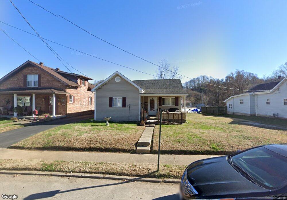
711 High St Coal Grove, OH 45638
Estimated Value: $87,000 - $128,000
3
Beds
1
Bath
1,148
Sq Ft
$87/Sq Ft
Est. Value
About This Home
This home is located at 711 High St, Coal Grove, OH 45638 and is currently estimated at $100,439, approximately $87 per square foot. 711 High St is a home located in Lawrence County with nearby schools including Dawson-Bryant Elementary School, Dawson-Bryant Middle School, and Dawson-Bryant High School.
Ownership History
Date
Name
Owned For
Owner Type
Purchase Details
Closed on
Jul 14, 2022
Sold by
Conley David L
Bought by
Hummingbird Rentals Llc
Current Estimated Value
Purchase Details
Closed on
Sep 27, 1999
Sold by
Belville Mary and Belville Myra V
Bought by
Conley David and Conley Paula
Purchase Details
Closed on
Nov 18, 1993
Sold by
Hixon L Noleen
Bought by
Hixon, L. Noleen Life Est
Purchase Details
Closed on
Oct 27, 1989
Sold by
Hixon James F and Nole L
Bought by
Hixon L Noleen
Create a Home Valuation Report for This Property
The Home Valuation Report is an in-depth analysis detailing your home's value as well as a comparison with similar homes in the area
Home Values in the Area
Average Home Value in this Area
Purchase History
| Date | Buyer | Sale Price | Title Company |
|---|---|---|---|
| Hummingbird Rentals Llc | -- | None Listed On Document | |
| Conley David | $30,000 | -- | |
| Hixon, L. Noleen Life Est | -- | -- | |
| Hixon L Noleen | -- | -- |
Source: Public Records
Tax History Compared to Growth
Tax History
| Year | Tax Paid | Tax Assessment Tax Assessment Total Assessment is a certain percentage of the fair market value that is determined by local assessors to be the total taxable value of land and additions on the property. | Land | Improvement |
|---|---|---|---|---|
| 2024 | -- | $19,150 | $3,240 | $15,910 |
| 2023 | $657 | $19,150 | $3,240 | $15,910 |
| 2022 | $669 | $19,150 | $3,240 | $15,910 |
| 2021 | $460 | $15,110 | $2,700 | $12,410 |
| 2020 | $561 | $15,110 | $2,700 | $12,410 |
| 2019 | $559 | $15,110 | $2,700 | $12,410 |
| 2018 | $523 | $13,740 | $2,460 | $11,280 |
| 2017 | $522 | $13,740 | $2,460 | $11,280 |
| 2016 | $489 | $13,740 | $2,460 | $11,280 |
| 2015 | $494 | $12,890 | $2,460 | $10,430 |
| 2014 | $463 | $12,890 | $2,460 | $10,430 |
| 2013 | $463 | $12,890 | $2,460 | $10,430 |
Source: Public Records
Map
Nearby Homes
- 125 Center St
- 514 Lane St
- 519 Lane St
- 135 Lane St
- 204 Dutey Dr
- 805 1/2 High St
- 309 High St
- 309 High St Unit LAO-5
- 119 Remy St
- 103 Carrico Dr
- 3107 S 4th St
- 156 Township Road 181
- 342 Township Road 296
- 317 Ashtabula St
- 2721 S 8th St
- 2726 S 9th St
- 2088 State Route 243
- 321 Wyanoke St
- 2626 S 11th St
- 2616 S 13th St