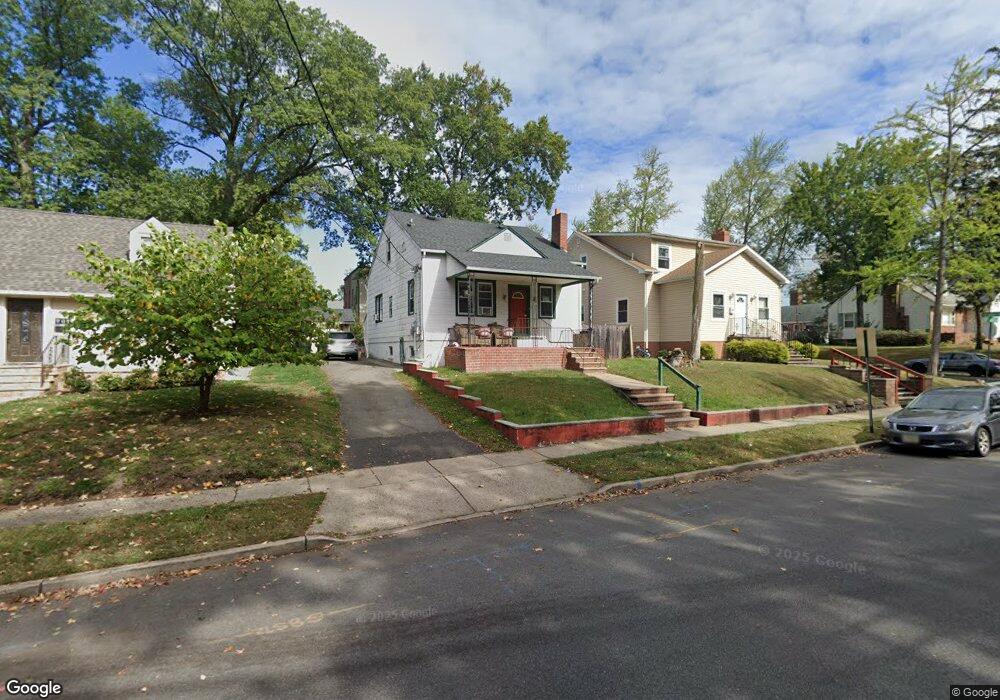
711 Leland Ave Unit 15 Plainfield, NJ 07062
Estimated Value: $450,087 - $546,000
--
Bed
--
Bath
1,048
Sq Ft
$472/Sq Ft
Est. Value
About This Home
This home is located at 711 Leland Ave Unit 15, Plainfield, NJ 07062 and is currently estimated at $494,272, approximately $471 per square foot. 711 Leland Ave Unit 15 is a home located in Union County with nearby schools including Frederic W. Cook School, Emerson Community School, and Maxson Middle School.
Ownership History
Date
Name
Owned For
Owner Type
Purchase Details
Closed on
Feb 12, 2008
Sold by
Aljure Mauricio A and Aljure Lora
Bought by
Aljure Mauricio A
Current Estimated Value
Purchase Details
Closed on
Sep 27, 1996
Sold by
Hud
Bought by
Aljure Mauricio A
Purchase Details
Closed on
May 21, 1996
Sold by
Froehlich Ralph
Bought by
Hud
Home Financials for this Owner
Home Financials are based on the most recent Mortgage that was taken out on this home.
Original Mortgage
$146,890
Interest Rate
7.91%
Create a Home Valuation Report for This Property
The Home Valuation Report is an in-depth analysis detailing your home's value as well as a comparison with similar homes in the area
Home Values in the Area
Average Home Value in this Area
Purchase History
| Date | Buyer | Sale Price | Title Company |
|---|---|---|---|
| Aljure Mauricio A | -- | None Available | |
| Aljure Mauricio A | $89,240 | -- | |
| Hud | -- | -- |
Source: Public Records
Mortgage History
| Date | Status | Borrower | Loan Amount |
|---|---|---|---|
| Previous Owner | Hud | $146,890 |
Source: Public Records
Tax History Compared to Growth
Tax History
| Year | Tax Paid | Tax Assessment Tax Assessment Total Assessment is a certain percentage of the fair market value that is determined by local assessors to be the total taxable value of land and additions on the property. | Land | Improvement |
|---|---|---|---|---|
| 2025 | $9,797 | $112,200 | $42,800 | $69,400 |
| 2024 | $9,701 | $112,200 | $42,800 | $69,400 |
| 2023 | $9,701 | $112,200 | $42,800 | $69,400 |
| 2022 | $9,491 | $112,200 | $42,800 | $69,400 |
| 2021 | $9,408 | $112,200 | $42,800 | $69,400 |
| 2020 | $9,381 | $112,200 | $42,800 | $69,400 |
| 2019 | $9,381 | $112,200 | $42,800 | $69,400 |
| 2018 | $9,185 | $112,200 | $42,800 | $69,400 |
| 2017 | $8,960 | $112,200 | $42,800 | $69,400 |
| 2016 | $8,777 | $112,200 | $42,800 | $69,400 |
| 2015 | $8,518 | $112,200 | $42,800 | $69,400 |
| 2014 | -- | $112,200 | $42,800 | $69,400 |
Source: Public Records
Map
Nearby Homes
- 842 Berkeley Ave
- 810 Leland Ave Unit 14
- 1138 Gresham Rd Unit 40
- 1138-40 Gresham Rd
- 848 Adam Cir
- 1112 Dorsey Place Unit 14
- 1158 Woodmere Place
- 714 Dixie Ln
- 1107 North Ave Unit 11
- 343 Netherwood Ave Unit 45
- 1459 E 7th St
- 771 Ravine Rd
- 767 Ravine Rd Unit 73
- 1365 Columbia Ave Unit 69
- 965 Hilltop Rd
- 939-45 Post Dr
- 1364 George St
- 1657 Forest Hill Rd Unit 63
- 481 Terrill Rd
- 724 Central St
- 717 Leland Ave
- 707 Leland Ave Unit 9
- 707-9 Leland Ave
- 1205 Lansdowne Terrace
- 1207 Lansdowne Terrace Unit 9
- 701 Leland Ave Unit 5
- 1204 Radcliffe Place Unit 10
- 1206 Radcliffe Place
- 723 Leland Ave Unit 27
- 725 Leland Ave
- 1211 Lansdowne Terrace Unit 13
- 1204 Lansdowne Terrace
- 1202 Lansdowne Terrace Unit 4
- 708 Leland Ave Unit 10
- 712 Leland Ave Unit 14
- 1206 Lansdowne Terrace Unit 10
- 716 Leland Ave Unit 18
- 1212 Radcliffe Place Unit 14
- 1215 Lansdowne Terrace Unit 17
- 702 Leland Ave