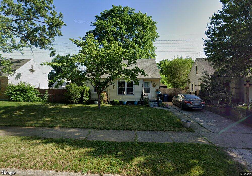
711 Macdonald Ave Flint, MI 48507
Circle Drive NeighborhoodEstimated Value: $73,000 - $108,000
3
Beds
1
Bath
954
Sq Ft
$92/Sq Ft
Est. Value
About This Home
This home is located at 711 Macdonald Ave, Flint, MI 48507 and is currently estimated at $87,659, approximately $91 per square foot. 711 Macdonald Ave is a home located in Genesee County with nearby schools including Freeman Elementary School, Flint Southwestern Classical Academy, and International Academy of Flint (K-12).
Ownership History
Date
Name
Owned For
Owner Type
Purchase Details
Closed on
Jul 30, 2008
Sold by
Blondin Virgil W and Blondin Joyce E
Bought by
Mcbride Michelle L
Current Estimated Value
Create a Home Valuation Report for This Property
The Home Valuation Report is an in-depth analysis detailing your home's value as well as a comparison with similar homes in the area
Home Values in the Area
Average Home Value in this Area
Purchase History
| Date | Buyer | Sale Price | Title Company |
|---|---|---|---|
| Mcbride Michelle L | $43,200 | None Available |
Source: Public Records
Tax History Compared to Growth
Tax History
| Year | Tax Paid | Tax Assessment Tax Assessment Total Assessment is a certain percentage of the fair market value that is determined by local assessors to be the total taxable value of land and additions on the property. | Land | Improvement |
|---|---|---|---|---|
| 2025 | $999 | $36,800 | $0 | $0 |
| 2024 | $905 | $32,900 | $0 | $0 |
| 2023 | $888 | $28,800 | $0 | $0 |
| 2022 | $0 | $23,500 | $0 | $0 |
| 2021 | $924 | $22,300 | $0 | $0 |
| 2020 | $833 | $17,800 | $0 | $0 |
| 2019 | $811 | $12,900 | $0 | $0 |
| 2018 | $812 | $12,300 | $0 | $0 |
| 2017 | $789 | $0 | $0 | $0 |
| 2016 | $784 | $0 | $0 | $0 |
| 2015 | -- | $0 | $0 | $0 |
| 2014 | -- | $0 | $0 | $0 |
| 2012 | -- | $15,100 | $0 | $0 |
Source: Public Records
Map
Nearby Homes
- 810 Macdonald Ave
- 4424 Cheyenne Ave
- 4310 Cheyenne Ave
- 3343 Cheyenne Ave
- 621 Burroughs Ave
- 630 Buckingham Ave
- 4127 Custer Ave
- 4205 Red Arrow Rd
- 3614 Comanche Ave
- 454 E Atherton Rd
- 326 Burroughs Ave
- 3505 Comanche Ave
- 3512 Barcey Ct
- 0000 E Bristol Rd
- 2207 E Boatfield Ave
- 2231 E Bergin Ave
- 2130 E Whittemore Ave
- 3115 Circle Dr
- 2220 E Bergin Ave
- 4010 Milton Dr
- 715 Macdonald Ave
- 701 Macdonald Ave
- 4515 Ogema Ave
- 719 Macdonald Ave
- 4507 Ogema Ave
- 710 McKeighan Ave
- 723 Macdonald Ave
- 714 McKeighan Ave
- 710 Macdonald Ave
- 4601 Ogema Ave
- 714 Macdonald Ave
- 4501 Ogema Ave
- 801 Macdonald Ave
- 718 Macdonald Ave
- 4607 Ogema Ave
- 722 Macdonald Ave
- 722 McKeighan Ave
- 805 Macdonald Ave
- 4518 Ogema Ave
- 4522 Ogema Ave Unit Bldg-Unit