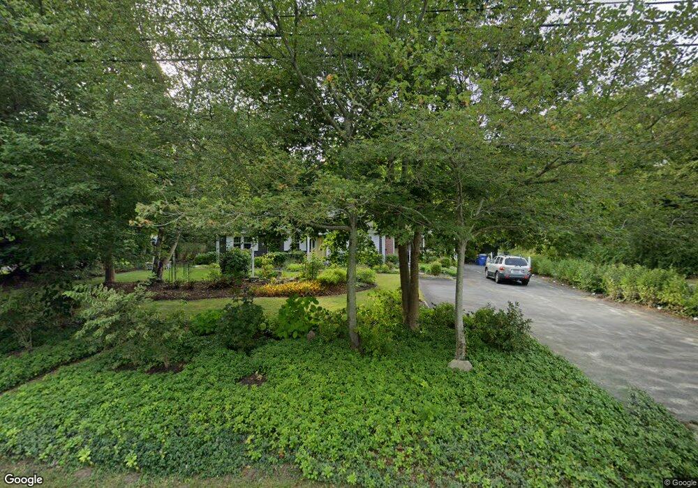
711 Main Rd Westport, MA 02790
Booth/Handy Four Corners NeighborhoodEstimated Value: $482,520 - $601,000
3
Beds
--
Bath
1,432
Sq Ft
$394/Sq Ft
Est. Value
About This Home
This home is located at 711 Main Rd, Westport, MA 02790 and is currently estimated at $564,380, approximately $394 per square foot. 711 Main Rd is a home located in Bristol County with nearby schools including Alice A. Macomber Primary School, Westport Elementary School, and Westport Middle-High School.
Ownership History
Date
Name
Owned For
Owner Type
Purchase Details
Closed on
May 6, 2003
Sold by
Famalette Nt
Bought by
Famalette Carol A
Current Estimated Value
Home Financials for this Owner
Home Financials are based on the most recent Mortgage that was taken out on this home.
Original Mortgage
$190,000
Outstanding Balance
$80,524
Interest Rate
5.93%
Estimated Equity
$483,856
Create a Home Valuation Report for This Property
The Home Valuation Report is an in-depth analysis detailing your home's value as well as a comparison with similar homes in the area
Home Values in the Area
Average Home Value in this Area
Purchase History
| Date | Buyer | Sale Price | Title Company |
|---|---|---|---|
| Famalette Carol A | -- | -- |
Source: Public Records
Mortgage History
| Date | Status | Borrower | Loan Amount |
|---|---|---|---|
| Open | Famalette Carol A | $190,000 | |
| Previous Owner | Famalette Carol A | $40,000 |
Source: Public Records
Tax History
| Year | Tax Paid | Tax Assessment Tax Assessment Total Assessment is a certain percentage of the fair market value that is determined by local assessors to be the total taxable value of land and additions on the property. | Land | Improvement |
|---|---|---|---|---|
| 2025 | $2,791 | $374,600 | $162,000 | $212,600 |
| 2024 | $2,731 | $353,300 | $143,600 | $209,700 |
| 2023 | $2,588 | $317,200 | $124,300 | $192,900 |
| 2022 | $2,339 | $288,300 | $124,300 | $164,000 |
| 2021 | $2,339 | $271,400 | $107,400 | $164,000 |
| 2020 | $2,206 | $261,700 | $97,700 | $164,000 |
| 2019 | $2,197 | $265,700 | $97,700 | $168,000 |
| 2018 | $2,127 | $260,300 | $109,700 | $150,600 |
| 2017 | $2,053 | $257,600 | $106,200 | $151,400 |
| 2016 | $1,843 | $233,000 | $102,700 | $130,300 |
| 2015 | $1,699 | $214,300 | $105,000 | $109,300 |
Source: Public Records
Map
Nearby Homes
- 640 Main Rd
- 8 Village Way
- 612 Drift Rd
- 923 Drift Rd
- 101 Adamsville Rd
- 920 Drift Rd
- 0 Hidden Glen Ln
- 10 Fernmarsh Ln
- 978 Sodom Rd
- 0 Sodom Rd Unit 73484265
- 408 Hixbridge Rd
- 45 Marcotte Unit Lot 7
- 11 Marcotte Dr Unit Lot 2
- 330 Sodom Rd
- 119 White Oak Run
- 26 Division Rd
- 6 Angel Ct
- 4 Main Rd
- 214 Sawdy Dr
- 1282 East Rd
- 719 Main Rd
- 2 Brookwood Dr
- 00 Withheld
- 0 Wine and Beer Making Unit 72619395
- 1 Breakfast Way
- 000 Calhoon Way
- 0 Confidential Unit 72405227
- 6 Brookwood Dr
- 721 Main Rd Unit 723
- 735 Main Rd
- 14 Brookwood Dr
- 15 Brookwood Dr
- 740 Main Rd
- 19 Brookwood Dr
- 747 Main Rd
- 21 Brookwood Dr
- 22 Brookwood Dr
- 678 Main Rd
- 1 Kirby Rd
- 748 Main Rd
Your Personal Tour Guide
Ask me questions while you tour the home.