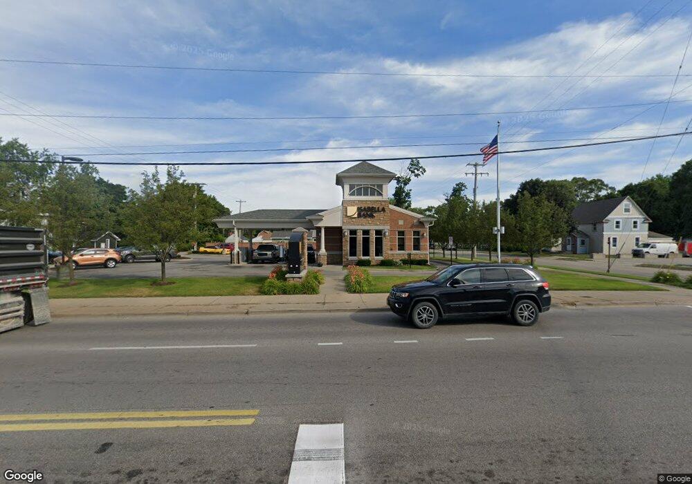
711 Maple St Big Rapids, MI 49307
Estimated Value: $110,735
Studio
--
Bath
1,433
Sq Ft
$77/Sq Ft
Est. Value
About This Home
This home is located at 711 Maple St, Big Rapids, MI 49307 and is currently priced at $110,735, approximately $77 per square foot. 711 Maple St is a home located in Mecosta County with nearby schools including Big Rapids High School, Crossroads Charter Academy Elementary School, and Crossroads Charter Academy Middle/High School.
Ownership History
Date
Name
Owned For
Owner Type
Purchase Details
Closed on
Jan 13, 2012
Sold by
Surf & Suds Llc
Bought by
Isabella Bank
Current Estimated Value
Purchase Details
Closed on
Jul 9, 2004
Sold by
Hoard Robert A and Hoard Peggy A
Bought by
Surf & Suds Llc
Home Financials for this Owner
Home Financials are based on the most recent Mortgage that was taken out on this home.
Original Mortgage
$267,500
Interest Rate
6.37%
Mortgage Type
Commercial
Create a Home Valuation Report for This Property
The Home Valuation Report is an in-depth analysis detailing your home's value as well as a comparison with similar homes in the area
Home Values in the Area
Average Home Value in this Area
Purchase History
| Date | Buyer | Sale Price | Title Company |
|---|---|---|---|
| Isabella Bank | -- | Corporate Title Agency | |
| Surf & Suds Llc | $230,000 | -- |
Source: Public Records
Mortgage History
| Date | Status | Borrower | Loan Amount |
|---|---|---|---|
| Previous Owner | Surf & Suds Llc | $267,500 |
Source: Public Records
Tax History
| Year | Tax Paid | Tax Assessment Tax Assessment Total Assessment is a certain percentage of the fair market value that is determined by local assessors to be the total taxable value of land and additions on the property. | Land | Improvement |
|---|---|---|---|---|
| 2025 | $9,878 | $181,500 | $0 | $0 |
| 2024 | -- | $182,100 | $0 | $0 |
| 2023 | -- | $175,000 | $0 | $0 |
| 2022 | $9,471 | $163,500 | $0 | $0 |
Source: Public Records
Map
Nearby Homes
- 203 N 3rd Ave
- 117 N 3rd Ave
- 203 S 3rd Ave
- 316 2nd Ave
- 417 Maple St
- 414 Maple St
- 16688 Canyon Cove
- 117 S Warren Ave
- 420 Linden St
- 706 Tioga Park Dr
- 709 Tioga Park Dr
- 717 Tioga Park Dr Unit 717
- 713 Tioga Park Dr
- 718 Tioga Park Dr
- 521 N Michigan Ave
- 734 Unit 734 Tioga Park
- 722 Tioga Park Dr Unit 722
- V/L 16 Mile Rd
- 817 N 4th Ave
- 409 Marion Ave
Your Personal Tour Guide
Ask me questions while you tour the home.