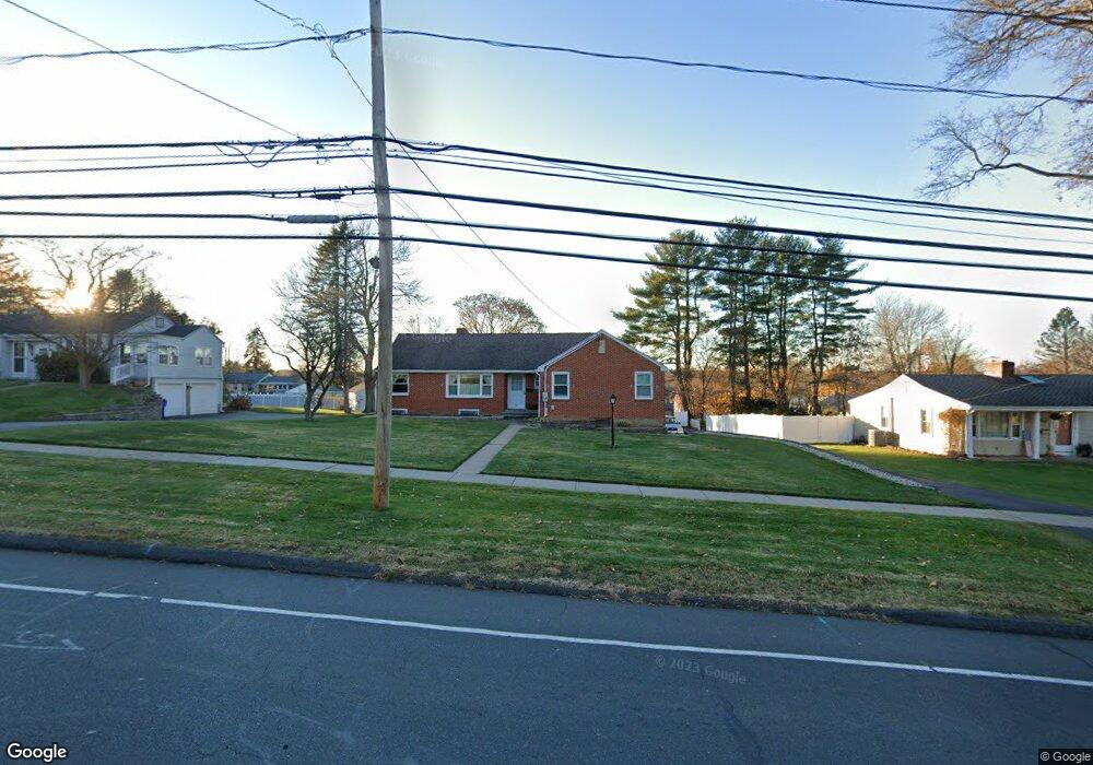
711 Maple St Wethersfield, CT 06109
Estimated Value: $447,000 - $485,000
3
Beds
3
Baths
1,705
Sq Ft
$275/Sq Ft
Est. Value
About This Home
This home is located at 711 Maple St, Wethersfield, CT 06109 and is currently estimated at $468,973, approximately $275 per square foot. 711 Maple St is a home located in Hartford County with nearby schools including Highcrest School, Silas Deane Middle School, and Wethersfield High School.
Create a Home Valuation Report for This Property
The Home Valuation Report is an in-depth analysis detailing your home's value as well as a comparison with similar homes in the area
Home Values in the Area
Average Home Value in this Area
Tax History
| Year | Tax Paid | Tax Assessment Tax Assessment Total Assessment is a certain percentage of the fair market value that is determined by local assessors to be the total taxable value of land and additions on the property. | Land | Improvement |
|---|---|---|---|---|
| 2025 | $11,209 | $271,940 | $92,610 | $179,330 |
| 2024 | $7,796 | $180,380 | $72,820 | $107,560 |
| 2023 | $7,529 | $180,200 | $72,830 | $107,370 |
| 2022 | $7,403 | $180,200 | $72,830 | $107,370 |
| 2021 | $7,329 | $180,200 | $72,830 | $107,370 |
| 2020 | $7,332 | $180,200 | $72,830 | $107,370 |
| 2019 | $7,341 | $180,200 | $72,830 | $107,370 |
| 2018 | $7,679 | $188,300 | $71,100 | $117,200 |
| 2017 | $7,489 | $188,300 | $71,100 | $117,200 |
| 2016 | $7,257 | $188,300 | $71,100 | $117,200 |
| 2015 | $7,191 | $188,300 | $71,100 | $117,200 |
| 2014 | $6,918 | $188,300 | $71,100 | $117,200 |
Source: Public Records
Map
Nearby Homes
- 143 Valley Crest Dr
- 72 Concord Dr
- 50 Concord Dr Unit 50
- 268 Fox Hill Rd
- 22 Winesap Cir Unit 22
- 25 Sutton Rd
- 186 Hang Dog Ln
- 1610 Silas Deane Hwy
- 89 Merriman Rd
- 13 Robbins Ln Unit B
- 38 Wheeler Rd
- 3 Colonial Dr Unit C
- 155 Old Common Rd
- 508 Highland St
- 59 Chapin Ave
- 0 Collier Rd
- 101 Collier Rd
- 5 Robeth Ln
- 455 Brimfield Rd
- 195 Middletown Ave
Your Personal Tour Guide
Ask me questions while you tour the home.