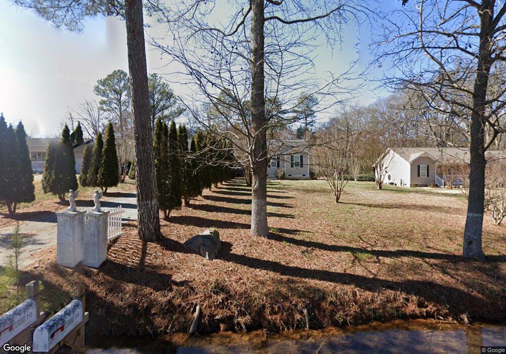
711 McDaniel Station Rd SW Calhoun, GA 30701
Estimated Value: $203,000
3
Beds
2
Baths
1,160
Sq Ft
$175/Sq Ft
Est. Value
About This Home
This home is located at 711 McDaniel Station Rd SW, Calhoun, GA 30701 and is currently priced at $203,000, approximately $175 per square foot. 711 McDaniel Station Rd SW is a home located in Gordon County with nearby schools including Swain Elementary School, Ashworth Middle School, and Gordon Central High School.
Ownership History
Date
Name
Owned For
Owner Type
Purchase Details
Closed on
Aug 26, 2005
Sold by
Navas Maria Eneyda
Bought by
Perez Jose A
Current Estimated Value
Home Financials for this Owner
Home Financials are based on the most recent Mortgage that was taken out on this home.
Original Mortgage
$102,861
Outstanding Balance
$54,546
Interest Rate
5.71%
Mortgage Type
FHA
Purchase Details
Closed on
May 28, 2004
Sold by
S & B Builders Inc
Bought by
Alexis Perez Jose and Navas Maria Eneyda
Purchase Details
Closed on
Feb 25, 2003
Sold by
Dixon Georgeann Mashburn
Bought by
S & B Builders Inc
Create a Home Valuation Report for This Property
The Home Valuation Report is an in-depth analysis detailing your home's value as well as a comparison with similar homes in the area
Home Values in the Area
Average Home Value in this Area
Purchase History
| Date | Buyer | Sale Price | Title Company |
|---|---|---|---|
| Perez Jose A | -- | -- | |
| Alexis Perez Jose | $99,900 | -- | |
| S & B Builders Inc | -- | -- |
Source: Public Records
Mortgage History
| Date | Status | Borrower | Loan Amount |
|---|---|---|---|
| Open | Perez Jose A | $102,861 |
Source: Public Records
Tax History Compared to Growth
Tax History
| Year | Tax Paid | Tax Assessment Tax Assessment Total Assessment is a certain percentage of the fair market value that is determined by local assessors to be the total taxable value of land and additions on the property. | Land | Improvement |
|---|---|---|---|---|
| 2021 | $1,282 | $44,760 | $4,480 | $40,280 |
| 2020 | $1,174 | $42,960 | $4,240 | $38,720 |
| 2019 | $1,180 | $42,960 | $4,240 | $38,720 |
| 2018 | $1,090 | $39,840 | $4,240 | $35,600 |
| 2017 | $1,062 | $37,840 | $4,240 | $33,600 |
| 2016 | $946 | $33,840 | $3,800 | $30,040 |
| 2015 | $938 | $33,280 | $3,800 | $29,480 |
| 2014 | $868 | $31,813 | $3,808 | $28,005 |
Source: Public Records
Map
Nearby Homes
- 490 McDaniel Station Rd SW
- 506 McDaniel Station Rd SW
- 458 McDaniel Station Rd SW
- 474 McDaniel Station Rd SW
- 261 Liberty Ln SW
- 1401 U S 41
- 1311 Us Highway 41
- 00 Belmont Dr
- 271 Old Belwood Rd SE
- 0 W Belmont Dr Unit 10489910
- 0 Richardson Rd SE Unit 10474273
- 0 Richardson Rd SE Unit 7537183
- 201 Porch Loop SE
- 220 Porch Loop SE
- 0 Highway 53 Spur SW Unit 7529096
- 121 Foxhall Dr SW
- 306 E Belmont Dr
- 402 Linda Ln
- 102 Sylvania Cir
- 199 Cherry St SE
- 723 McDaniel Station Rd SW
- 701 McDaniel Station Rd SW
- 733 McDaniel Station Rd SW
- 184 Pine St SW
- 174 Pine St SW
- 196 Pine St SW
- 164 Pine St SW
- 164 Pine St SW
- 743 McDaniel Station Rd SW
- 152 Pine St SW
- 173 Pine St SW
- 106 Kinman Rd SW
- 185 Pine St SW
- 663 McDaniel Station Rd SW
- 205 Pine St SW
- 127 Warren Rd SW
- 126 Kinman Rd SW
- 155 Kinman Rd SW
- 0 Kinman Rd Unit 8828270
- 0 Kinman Rd Unit 9068943