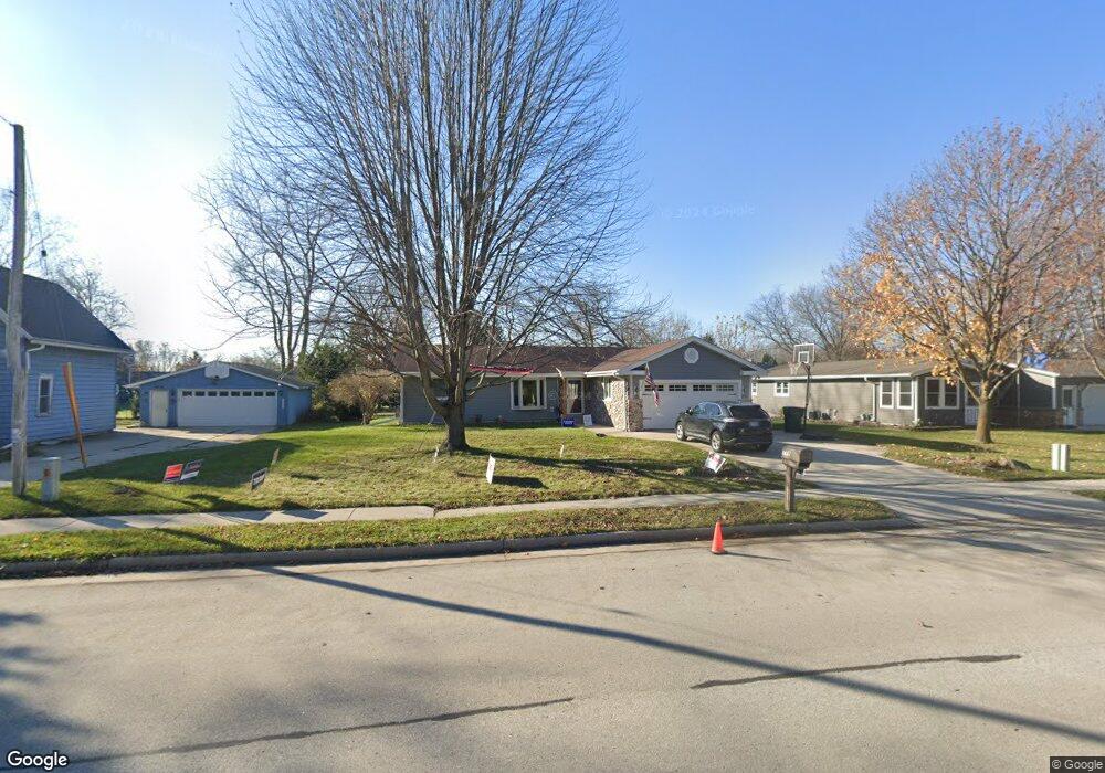
711 N Mill St Saukville, WI 53080
Estimated Value: $320,000 - $362,000
3
Beds
2
Baths
--
Sq Ft
0.26
Acres
About This Home
This home is located at 711 N Mill St, Saukville, WI 53080 and is currently estimated at $343,681. 711 N Mill St is a home located in Ozaukee County with nearby schools including Saukville Elementary School, Thomas Jefferson Middle School, and Port Washington High School.
Ownership History
Date
Name
Owned For
Owner Type
Purchase Details
Closed on
Apr 22, 2013
Sold by
Hsbc Mortgage Services Inc
Bought by
Poradek Frank
Current Estimated Value
Home Financials for this Owner
Home Financials are based on the most recent Mortgage that was taken out on this home.
Original Mortgage
$139,500
Outstanding Balance
$98,868
Interest Rate
3.56%
Mortgage Type
New Conventional
Estimated Equity
$244,813
Purchase Details
Closed on
Jan 15, 2013
Sold by
Dumas Daniel
Bought by
Hsbc Mortgage Services Inc
Purchase Details
Closed on
Jan 28, 2005
Sold by
Molter John T and Molter Kathleen C
Bought by
Dumas Daniel E and Dumas Carrie
Home Financials for this Owner
Home Financials are based on the most recent Mortgage that was taken out on this home.
Original Mortgage
$164,250
Interest Rate
6.24%
Mortgage Type
Adjustable Rate Mortgage/ARM
Create a Home Valuation Report for This Property
The Home Valuation Report is an in-depth analysis detailing your home's value as well as a comparison with similar homes in the area
Home Values in the Area
Average Home Value in this Area
Purchase History
| Date | Buyer | Sale Price | Title Company |
|---|---|---|---|
| Poradek Frank | $155,100 | None Available | |
| Hsbc Mortgage Services Inc | $100,173 | None Available | |
| Dumas Daniel E | $182,500 | -- | |
| Dumas Daniel | $182,500 | None Available |
Source: Public Records
Mortgage History
| Date | Status | Borrower | Loan Amount |
|---|---|---|---|
| Open | Poradek Frank | $139,500 | |
| Previous Owner | Dumas Daniel | $164,250 |
Source: Public Records
Tax History Compared to Growth
Tax History
| Year | Tax Paid | Tax Assessment Tax Assessment Total Assessment is a certain percentage of the fair market value that is determined by local assessors to be the total taxable value of land and additions on the property. | Land | Improvement |
|---|---|---|---|---|
| 2024 | $3,703 | $246,100 | $41,300 | $204,800 |
| 2023 | $3,439 | $246,100 | $41,300 | $204,800 |
| 2022 | $3,577 | $217,000 | $41,300 | $175,700 |
| 2021 | $3,574 | $217,000 | $41,300 | $175,700 |
| 2020 | $3,452 | $179,700 | $36,300 | $143,400 |
| 2019 | $3,347 | $179,700 | $36,300 | $143,400 |
| 2018 | $3,289 | $179,700 | $36,300 | $143,400 |
| 2017 | $3,302 | $179,700 | $36,300 | $143,400 |
| 2016 | $3,277 | $171,900 | $36,300 | $135,600 |
| 2015 | $3,136 | $171,900 | $36,300 | $135,600 |
| 2014 | $2,973 | $171,900 | $36,300 | $135,600 |
| 2013 | $3,189 | $173,200 | $36,300 | $136,900 |
Source: Public Records
Map
Nearby Homes
- 677 N Dries St
- 3207 County Rd W
- 3258 County Road O
- 3172 N Riverside Dr
- 550 N Riverside Dr
- 104 W Stoney Ridge Way
- 387 N Dries St Unit G
- 410 W Dekora St
- 671 W Dekora St
- 141 S Foster Dr
- Lot 0 S Foster Dr
- Lt1 S Foster Dr
- Lt2 S Foster Dr
- 110 N White Oak Way
- 700 N Maple Ln
- 173 N Maple Ln
- 3620 County Road O
- 716 N Maple Ln
- The Siena Plan at The Crossroads
- The Wingra Plan at The Crossroads