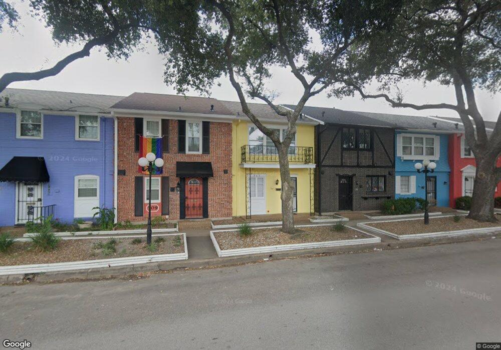
711 Pacific St Unit 711 Houston, TX 77006
Montrose NeighborhoodEstimated Value: $233,383 - $347,000
2
Beds
3
Baths
1,248
Sq Ft
$230/Sq Ft
Est. Value
About This Home
This home is located at 711 Pacific St Unit 711, Houston, TX 77006 and is currently estimated at $287,096, approximately $230 per square foot. 711 Pacific St Unit 711 is a home located in Harris County with nearby schools including Wharton Dual Language Academy, Gregory-Lincoln Ed Center, and Lamar High School.
Ownership History
Date
Name
Owned For
Owner Type
Purchase Details
Closed on
Feb 5, 2022
Sold by
Allen Joseph A
Bought by
Long Kenneth W
Current Estimated Value
Create a Home Valuation Report for This Property
The Home Valuation Report is an in-depth analysis detailing your home's value as well as a comparison with similar homes in the area
Home Values in the Area
Average Home Value in this Area
Purchase History
| Date | Buyer | Sale Price | Title Company |
|---|---|---|---|
| Long Kenneth W | -- | Hedlesten Law Pc |
Source: Public Records
Tax History Compared to Growth
Tax History
| Year | Tax Paid | Tax Assessment Tax Assessment Total Assessment is a certain percentage of the fair market value that is determined by local assessors to be the total taxable value of land and additions on the property. | Land | Improvement |
|---|---|---|---|---|
| 2025 | $2,661 | $133,045 | $25,279 | $107,766 |
| 2024 | $2,661 | $127,164 | $26,368 | $100,796 |
| 2023 | $2,562 | $127,164 | $24,161 | $103,003 |
| 2022 | $3,435 | $156,013 | $29,642 | $126,371 |
| 2021 | $3,477 | $149,175 | $28,343 | $120,832 |
| 2020 | $2,399 | $99,048 | $18,819 | $80,229 |
| 2019 | $2,074 | $173,795 | $33,021 | $140,774 |
| 2018 | $1,827 | $72,209 | $17,961 | $54,248 |
| 2017 | $1,916 | $72,209 | $17,961 | $54,248 |
| 2016 | $1,607 | $0 | $0 | $0 |
| 2015 | $1,054 | $45,899 | $8,721 | $37,178 |
| 2014 | $1,054 | $41,018 | $7,793 | $33,225 |
Source: Public Records
Map
Nearby Homes
- 2608 Hopkins St
- 2518 Grant St
- 1004 Missouri St
- 1004 California St Unit 203
- 501 Avondale St
- 2507 Montrose Blvd Unit 11
- 2507 Montrose Blvd Unit 51
- 2507 Montrose Blvd Unit 50
- 2514 Morgan St
- 2310 Converse St
- 415 Fairview St
- 714 Fargo St
- 2404 Fairview St Unit C
- 510 Lovett Blvd Unit 309
- 510 Lovett Blvd Unit 404
- 510 Lovett Blvd Unit 310
- 509 W Drew St
- 309 Stratford St Unit 18
- 912 Lovett Blvd Unit B
- 606 W Drew St
- 719 Pacific St Unit 719
- 717 Pacific St Unit 717
- 715 Pacific St Unit 715
- 707 Pacific St Unit 707
- 703 Pacific St Unit 703
- 721 Pacific St Unit 721
- 713 Pacific St Unit 713
- 709 Pacific St Unit 709
- 705 Pacific St Unit 705
- 2606 Stanford St
- 2606 Stanford St Unit 5
- 2606 Stanford St Unit 1
- 2606 Stanford St Unit 3
- 2606 Stanford St Unit 4
- 2605 Crocker St
- 2607 Crocker St
- 2608 Stanford St Unit C
- 2608 Stanford St Unit A
- 2608 Stanford St
- 2608 Stanford St Unit B