711 Poplar Ave Wenonah, NJ 08090
Deptford Township NeighborhoodEstimated Value: $368,697 - $451,000
4
Beds
2
Baths
2,184
Sq Ft
$191/Sq Ft
Est. Value
About This Home
This home is located at 711 Poplar Ave, Wenonah, NJ 08090 and is currently estimated at $417,424, approximately $191 per square foot. 711 Poplar Ave is a home located in Gloucester County with nearby schools including Deptford Township High School and St Margaret Regional School.
Ownership History
Date
Name
Owned For
Owner Type
Purchase Details
Closed on
Oct 28, 2016
Sold by
Carioti Samuel V and Carioti Robyn B
Bought by
Smyser Derek and Smyser Tamara
Current Estimated Value
Home Financials for this Owner
Home Financials are based on the most recent Mortgage that was taken out on this home.
Original Mortgage
$211,007
Outstanding Balance
$170,700
Interest Rate
3.75%
Mortgage Type
FHA
Estimated Equity
$246,724
Purchase Details
Closed on
Dec 7, 2011
Sold by
Miller Michael E and Miller Joanne R
Bought by
Carioti Samuel V and Carioti Robyn B
Home Financials for this Owner
Home Financials are based on the most recent Mortgage that was taken out on this home.
Original Mortgage
$197,853
Interest Rate
4.4%
Mortgage Type
FHA
Create a Home Valuation Report for This Property
The Home Valuation Report is an in-depth analysis detailing your home's value as well as a comparison with similar homes in the area
Home Values in the Area
Average Home Value in this Area
Purchase History
| Date | Buyer | Sale Price | Title Company |
|---|---|---|---|
| Smyser Derek | $214,900 | Group 21 Title Agency | |
| Carioti Samuel V | $203,000 | Fidelity Natl Title Ins Co |
Source: Public Records
Mortgage History
| Date | Status | Borrower | Loan Amount |
|---|---|---|---|
| Open | Smyser Derek | $211,007 | |
| Previous Owner | Carioti Samuel V | $197,853 |
Source: Public Records
Tax History Compared to Growth
Tax History
| Year | Tax Paid | Tax Assessment Tax Assessment Total Assessment is a certain percentage of the fair market value that is determined by local assessors to be the total taxable value of land and additions on the property. | Land | Improvement |
|---|---|---|---|---|
| 2025 | $7,027 | $196,000 | $51,400 | $144,600 |
| 2024 | $6,801 | $196,000 | $51,400 | $144,600 |
| 2023 | $6,801 | $196,000 | $51,400 | $144,600 |
| 2022 | $6,752 | $196,000 | $51,400 | $144,600 |
| 2021 | $6,656 | $196,000 | $51,400 | $144,600 |
| 2020 | $6,580 | $196,000 | $51,400 | $144,600 |
| 2019 | $6,978 | $211,900 | $51,400 | $160,500 |
| 2018 | $6,821 | $211,900 | $51,400 | $160,500 |
| 2017 | $6,639 | $211,900 | $51,400 | $160,500 |
| 2016 | $6,503 | $211,900 | $51,400 | $160,500 |
| 2015 | $6,302 | $211,900 | $51,400 | $160,500 |
| 2014 | $6,139 | $211,900 | $51,400 | $160,500 |
Source: Public Records
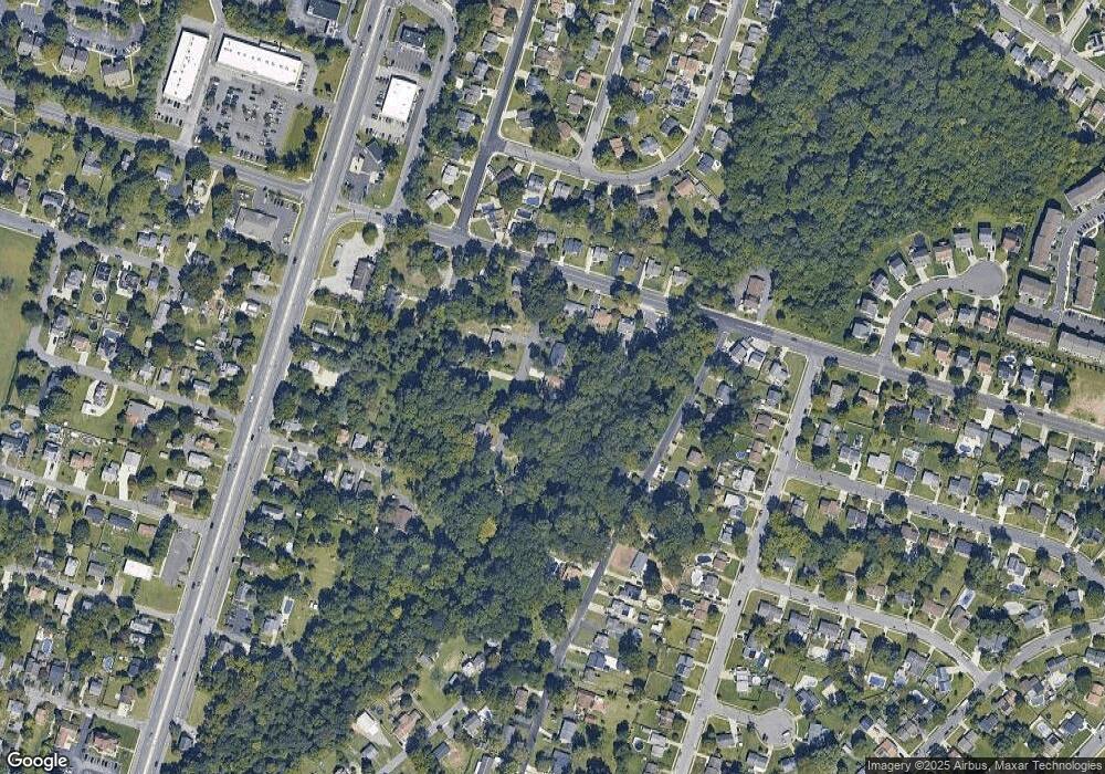
Map
Nearby Homes
- 7 Manchester Ct
- 125 Ivy Ln
- 100 Buddy Powell Ln
- 114 Buddy Powell Ln
- 748 Dartmouth Dr
- 111 Cove Rd
- 213 Barclay Ct
- 313 Ogden Station Rd
- 629 Vassar Rd
- 315 Ogden Station Rd
- 916 Georgetown Rd
- 711 Howard Ave
- 807 Saint Regis Ct
- 463 Durham Ct
- 411 Durham Ct Unit 411
- 827 Saint Regis Ct
- 75 Hickory Ave
- 505 W Mantua Ave
- 136 Vanderbilt Ave
- 505 University Blvd
- 711 Poplar St
- 709 Poplar Ave
- 715 Poplar Ave
- 717 Poplar Ave
- 717 Poplar Ave
- 717 Poplar St
- 124 Ogden Rd
- 124 Ogden Station Rd
- 128 Ogden Station Rd
- 716 Glenside Dr
- 132 Ogden Station Rd
- 712 Poplar Ave
- 710 Poplar Ave
- 708 Poplar Ave
- 709 Glenside Dr
- 140 Ogden Station Rd
- 140 Ogden Rd
- 715 Glenside Dr
- 120 Ogden Station Rd
- 120 Ogden Rd