711 S Bryn Mawr Ave Bryn Mawr, PA 19010
Estimated Value: $1,554,000 - $1,939,712
5
Beds
5
Baths
6,355
Sq Ft
$281/Sq Ft
Est. Value
About This Home
This home is located at 711 S Bryn Mawr Ave, Bryn Mawr, PA 19010 and is currently estimated at $1,784,178, approximately $280 per square foot. 711 S Bryn Mawr Ave is a home located in Delaware County with nearby schools including Ithan Elementary School, Radnor Middle School, and Radnor Senior High School.
Ownership History
Date
Name
Owned For
Owner Type
Purchase Details
Closed on
Jan 10, 2007
Sold by
Pinto Ralph G and Pinto Susan P
Bought by
Baldassano Claudia and Stecker Matthew
Current Estimated Value
Home Financials for this Owner
Home Financials are based on the most recent Mortgage that was taken out on this home.
Original Mortgage
$736,000
Interest Rate
6.14%
Mortgage Type
Purchase Money Mortgage
Purchase Details
Closed on
Aug 1, 2005
Sold by
Pincus Nathan and Pincus Robin
Bought by
Pinto Ralph G and Pinto Susan P
Home Financials for this Owner
Home Financials are based on the most recent Mortgage that was taken out on this home.
Original Mortgage
$359,650
Interest Rate
4.62%
Mortgage Type
Fannie Mae Freddie Mac
Create a Home Valuation Report for This Property
The Home Valuation Report is an in-depth analysis detailing your home's value as well as a comparison with similar homes in the area
Home Values in the Area
Average Home Value in this Area
Purchase History
| Date | Buyer | Sale Price | Title Company |
|---|---|---|---|
| Baldassano Claudia | $920,000 | Commonwealth Land Title Insu | |
| Pinto Ralph G | $977,000 | Trident Land Transfer Co |
Source: Public Records
Mortgage History
| Date | Status | Borrower | Loan Amount |
|---|---|---|---|
| Previous Owner | Baldassano Claudia | $736,000 | |
| Previous Owner | Pinto Ralph G | $359,650 |
Source: Public Records
Tax History Compared to Growth
Tax History
| Year | Tax Paid | Tax Assessment Tax Assessment Total Assessment is a certain percentage of the fair market value that is determined by local assessors to be the total taxable value of land and additions on the property. | Land | Improvement |
|---|---|---|---|---|
| 2025 | $25,677 | $1,270,000 | $229,650 | $1,040,350 |
| 2024 | $25,677 | $1,270,000 | $229,650 | $1,040,350 |
| 2023 | $24,659 | $1,270,000 | $229,650 | $1,040,350 |
| 2022 | $24,390 | $1,270,000 | $229,650 | $1,040,350 |
| 2021 | $39,178 | $1,270,000 | $229,650 | $1,040,350 |
| 2020 | $22,966 | $660,170 | $131,370 | $528,800 |
| 2019 | $22,318 | $660,170 | $131,370 | $528,800 |
| 2018 | $21,880 | $660,170 | $0 | $0 |
| 2017 | $21,422 | $660,170 | $0 | $0 |
| 2016 | $3,697 | $660,170 | $0 | $0 |
| 2015 | $3,697 | $660,170 | $0 | $0 |
| 2014 | $3,697 | $660,170 | $0 | $0 |
Source: Public Records
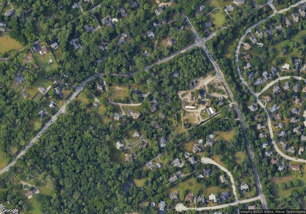
Map
Nearby Homes
- 820 Darby Paoli Rd
- 3920 Darby Rd
- 119 Bella Dr Unit 2MD
- 124 Carli Dr
- 117 Bella Dr Unit 3AD
- 560 S Bryn Mawr Ave
- 726 Darby Paoli Rd
- 12 Lincoln Ln
- 127 Deerfield Rd
- 212 Aronimink Dr
- 633 Foxfields Rd
- 115 Newby Dr
- 202 Summit Dr Unit B
- 103 Summit Dr Unit B
- 204 Wedgewood Cir
- 66 Northwood Rd
- 307 B B000 Summit Dr Unit B
- 67 Parkridge Dr
- 6205 Parkview Dr
- 2604 Cynwyd Ave
- 713 S Bryn Mawr Ave
- 715 S Bryn Mawr Ave
- 970 Sproul Rd
- 751 S Bryn Mawr Ave
- 719 S Bryn Mawr Ave
- 721 S Bryn Mawr Ave
- 972 Sproul Rd
- 753 S Bryn Mawr Ave
- 755 S Bryn Mawr Ave
- 723 S Bryn Mawr Ave
- 714 S Bryn Mawr Ave
- 710 S Bryn Mawr Ave
- 707 S Bryn Mawr Ave
- 757 S Bryn Mawr Ave
- 733 S Bryn Mawr Ave
- 1000 Sproul Rd
- 706 S Bryn Mawr Ave
- 718 S Bryn Mawr Ave
- 109 Leighton Dr
- 844 Sproul Rd