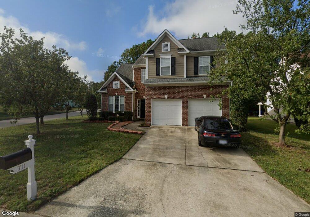
711 Southshore Pkwy Durham, NC 27703
Eastern Durham NeighborhoodEstimated Value: $447,126 - $494,000
4
Beds
3
Baths
2,594
Sq Ft
$180/Sq Ft
Est. Value
About This Home
This home is located at 711 Southshore Pkwy, Durham, NC 27703 and is currently estimated at $465,782, approximately $179 per square foot. 711 Southshore Pkwy is a home located in Durham County with nearby schools including Oak Grove Elementary, John W Neal Middle School, and Southern School of Energy & Sustainability.
Ownership History
Date
Name
Owned For
Owner Type
Purchase Details
Closed on
Nov 25, 2003
Sold by
D R Horton Inc Torrey
Bought by
Marable Carlos and Marable Tawana
Current Estimated Value
Home Financials for this Owner
Home Financials are based on the most recent Mortgage that was taken out on this home.
Original Mortgage
$190,493
Outstanding Balance
$88,887
Interest Rate
5.98%
Mortgage Type
Purchase Money Mortgage
Estimated Equity
$376,895
Create a Home Valuation Report for This Property
The Home Valuation Report is an in-depth analysis detailing your home's value as well as a comparison with similar homes in the area
Home Values in the Area
Average Home Value in this Area
Purchase History
| Date | Buyer | Sale Price | Title Company |
|---|---|---|---|
| Marable Carlos | $201,000 | -- |
Source: Public Records
Mortgage History
| Date | Status | Borrower | Loan Amount |
|---|---|---|---|
| Open | Marable Carlos | $190,493 |
Source: Public Records
Tax History Compared to Growth
Tax History
| Year | Tax Paid | Tax Assessment Tax Assessment Total Assessment is a certain percentage of the fair market value that is determined by local assessors to be the total taxable value of land and additions on the property. | Land | Improvement |
|---|---|---|---|---|
| 2025 | $4,530 | $456,940 | $64,811 | $392,129 |
| 2024 | $3,731 | $267,453 | $47,062 | $220,391 |
| 2023 | $3,503 | $267,453 | $47,062 | $220,391 |
| 2022 | $3,423 | $267,453 | $47,062 | $220,391 |
| 2021 | $3,407 | $267,453 | $47,062 | $220,391 |
| 2020 | $3,327 | $267,453 | $47,062 | $220,391 |
| 2019 | $3,327 | $267,453 | $47,062 | $220,391 |
| 2018 | $2,918 | $215,097 | $34,512 | $180,585 |
| 2017 | $2,896 | $215,097 | $34,512 | $180,585 |
| 2016 | $2,799 | $215,097 | $34,512 | $180,585 |
| 2015 | $3,121 | $225,443 | $45,045 | $180,398 |
| 2014 | $3,121 | $225,443 | $45,045 | $180,398 |
Source: Public Records
Map
Nearby Homes
- 715 Southshore Pkwy
- 615 Southshore Pkwy
- 128 Leacroft Way
- 537 Crossview Ln
- 16 Vestrial Ln
- 503 Bellmeade Bay Dr
- 1 Kings Grant Ct
- 301 Sylvias Ct
- 2117 Fletchers Ridge Dr
- 208 Lick Creek Ln
- 519 Keith St
- 622 Sherron Rd
- 610 Sherron Rd
- 506 Currin St
- 1107 High Fox Dr
- 6 Dawson Ct
- 110 Kindlewood Dr
- 30 Plumleaf Ln
- 1013 Blackthorn Ln
- 1104 Constellation Cir
- 713 Southshore Pkwy
- 709 Southshore Pkwy
- 1115 Gunston Ln
- 710 Southshore Pkwy
- 710 SOUTHS To Be Added
- 710 SOUTHSHORE To Be Added
- 712 SOUTHS To Be Added
- 712 SOUTHSHORE To Be Added
- 712 Southshore Pkwy
- 1101 Nichols Farm Dr
- 708 Southshore Pkwy
- 717 Southshore Pkwy
- 1116 Gunston Ln
- 714 Souths Annapolis Ct
- 714 Southshore Annapolis Ct
- 714 Southshore Pkwy
- 1113 Gunston Ln
- 706 Southshore Pkwy
- 1103 Nichols Farm Dr
- 719 Southshore Pkwy