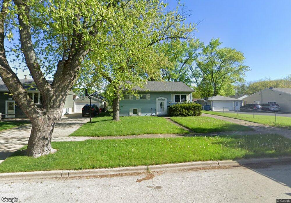
711 Springbrook Dr Unit 4 Aurora, IL 60506
North River NeighborhoodEstimated Value: $292,292 - $312,000
4
Beds
1
Bath
1,886
Sq Ft
$160/Sq Ft
Est. Value
About This Home
This home is located at 711 Springbrook Dr Unit 4, Aurora, IL 60506 and is currently estimated at $300,823, approximately $159 per square foot. 711 Springbrook Dr Unit 4 is a home located in Kane County with nearby schools including Fearn Elementary School, Jewel Middle School, and West Aurora High School.
Ownership History
Date
Name
Owned For
Owner Type
Purchase Details
Closed on
Dec 29, 1995
Sold by
Scheuermann William N and Scheuermann Meredith Ann
Bought by
Munfo Stephen A
Current Estimated Value
Home Financials for this Owner
Home Financials are based on the most recent Mortgage that was taken out on this home.
Original Mortgage
$97,850
Interest Rate
7%
Create a Home Valuation Report for This Property
The Home Valuation Report is an in-depth analysis detailing your home's value as well as a comparison with similar homes in the area
Home Values in the Area
Average Home Value in this Area
Purchase History
| Date | Buyer | Sale Price | Title Company |
|---|---|---|---|
| Munfo Stephen A | $103,000 | Chicago Title Insurance Co |
Source: Public Records
Mortgage History
| Date | Status | Borrower | Loan Amount |
|---|---|---|---|
| Previous Owner | Munfo Stephen A | $97,850 |
Source: Public Records
Tax History
| Year | Tax Paid | Tax Assessment Tax Assessment Total Assessment is a certain percentage of the fair market value that is determined by local assessors to be the total taxable value of land and additions on the property. | Land | Improvement |
|---|---|---|---|---|
| 2024 | $5,628 | $79,072 | $13,260 | $65,812 |
| 2023 | $5,366 | $70,651 | $11,848 | $58,803 |
| 2022 | $5,175 | $64,462 | $10,810 | $53,652 |
| 2021 | $4,935 | $60,015 | $10,064 | $49,951 |
| 2020 | $5,497 | $64,715 | $9,348 | $55,367 |
| 2019 | $5,276 | $59,960 | $8,661 | $51,299 |
| 2018 | $4,771 | $53,788 | $8,011 | $45,777 |
| 2017 | $4,447 | $49,206 | $7,381 | $41,825 |
| 2016 | $4,073 | $44,341 | $6,327 | $38,014 |
| 2015 | -- | $38,715 | $5,441 | $33,274 |
| 2014 | -- | $36,131 | $5,233 | $30,898 |
| 2013 | -- | $37,792 | $5,158 | $32,634 |
Source: Public Records
Map
Nearby Homes
- 461 Sullivan Rd
- 338 Lakelawn Blvd
- 388 Manor Place
- 1229 Yellowpine Dr
- 43 S Juniper Dr Unit 3
- 10 N Adams St
- 500 California Ave
- 307 Hill Ave
- 847 Foran Ln
- 310 Oak St
- 178 Mistwood Ln
- 911 Darwin St
- 833 Sheldon Ave
- 341 Woodlyn Dr Unit 3
- 1387 S Glen Cir Unit D
- 14-18 N Lake St
- 1351 Monomoy St Unit D
- 440 Woodlyn Dr
- 1815 Brighton Cir
- 418 W Illinois Ave
- 715 Springbrook Dr
- 703 Springbrook Dr
- 1558 Cambridge Ave
- 721 Springbrook Dr
- 710 Calico Dr
- 716 Calico Dr
- 704 Calico Dr
- 720 Calico Dr
- 712 Springbrook Dr
- 706 Springbrook Dr
- 725 Springbrook Dr
- 700 Springbrook Dr
- 1537 Hollycrest Ave
- 726 Calico Dr
- 618 Springbrook Dr Unit 4
- 609 Springbrook Dr
- 1557 Cambridge Ave
- 1546 Hollycrest Ave Unit 4
- 732 Calico Dr Unit 4
- 612 Springbrook Dr
Your Personal Tour Guide
Ask me questions while you tour the home.