711 Thornton Dr Morrow, OH 45152
Estimated Value: $311,000 - $334,166
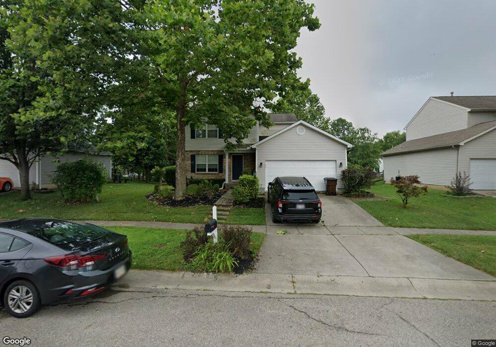
About This Home
This home is located at 711 Thornton Dr, Morrow, OH 45152 and is currently estimated at $323,792, approximately $227 per square foot. 711 Thornton Dr is a home located in Warren County with nearby schools including Little Miami Early Childhood Center, Little Miami Intermediate Middle School, and Little Miami Middle School.
Ownership History
We collect this data history from publicly available records. To have your information removed, we recommend requesting removal directly through your county’s website.
Purchase Details
Home Financials for this Owner
Home Financials are based on the most recent Mortgage that was taken out on this home.Purchase Details
Purchase Details
Home Financials for this Owner
Home Financials are based on the most recent Mortgage that was taken out on this home.Purchase Details
Home Values in the Area
Average Home Value in this Area
Purchase History
We collect this data history from publicly available records. To have your information removed, we recommend requesting removal directly through your county’s website.
| Date | Buyer | Sale Price | Title Company |
|---|---|---|---|
| $250,000 | Elam Jenni B | ||
| -- | None Available | ||
| $146,730 | -- | ||
| $177,000 | -- |
Mortgage History
We collect this data history from publicly available records. To have your information removed, we recommend requesting removal directly through your county’s website.
| Date | Status | Borrower | Loan Amount |
|---|---|---|---|
| Open | $137,300 | ||
| Previous Owner | $143,277 |
Tax History
We collect this data history from publicly available records. To have your information removed, we recommend requesting removal directly through your county’s website.
| Year | Tax Paid | Tax Assessment Tax Assessment Total Assessment is a certain percentage of the fair market value that is determined by local assessors to be the total taxable value of land and additions on the property. | Land | Improvement |
|---|---|---|---|---|
| 2025 | $3,916 | $88,270 | $28,000 | $60,270 |
| 2024 | $3,916 | $88,270 | $28,000 | $60,270 |
| 2023 | $3,301 | $66,388 | $12,915 | $53,473 |
| 2022 | $3,346 | $66,388 | $12,915 | $53,473 |
| 2021 | $3,189 | $66,388 | $12,915 | $53,473 |
| 2020 | $2,962 | $53,974 | $10,500 | $43,474 |
| 2019 | $3,012 | $53,974 | $10,500 | $43,474 |
| 2018 | $2,950 | $53,974 | $10,500 | $43,474 |
| 2017 | $2,406 | $44,251 | $9,177 | $35,074 |
| 2016 | $2,465 | $44,251 | $9,177 | $35,074 |
| 2015 | $2,463 | $44,251 | $9,177 | $35,074 |
| 2014 | $2,788 | $44,250 | $9,180 | $35,070 |
| 2013 | $2,732 | $50,630 | $10,500 | $40,130 |
Map
- 668 Thornton Dr
- 740 Oak Forest Dr
- 6289 Maple Grove
- 723 Grande Oaks Dr
- 833 Linden Creek
- 875 Grande Oaks Dr
- 873 E US Highway 22 and 3
- 873 U S 22
- 1076 Oak Forest Dr
- 6211 Avebury Ct
- 972 Tyndale Ct
- 547 Woodbine Ct
- 291 Cherry Laurel Ct
- 5917 Pepperridge Ct
- 723 Nunner Rd
- 6527 Thistle Grove
- 6510 Waverly Park
- 5687 Pepperridge Ct
- 488 Misty Dawn Rd
- 5461 Windsor Ct
- 699 Thornton Dr
- 719 Thornton Dr
- 689 Thornton Dr
- 640 Linden Creek
- 630 Linden Creek
- 650 Linden Creek
- 710 Thornton Dr
- 620 Linden Creek
- 735 Thornton Dr
- 700 Thornton Dr
- 677 Thornton Dr
- 732 Thornton Dr
- 662 Linden Creek
- 688 Thornton Dr
- 610 Linden Creek
- 745 Thornton Dr
- 667 Thornton Dr
- 678 Thornton Dr
- 744 Thornton Dr
- 598 Linden Creek
Ask me questions while you tour the home.