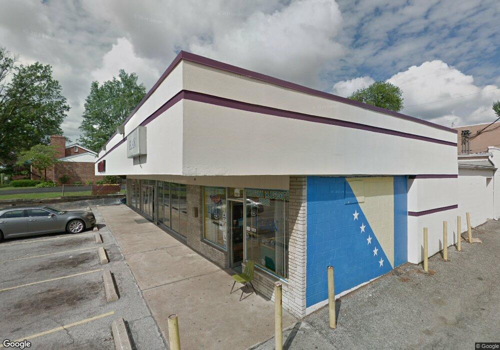
711 Union Rd Saint Louis, MO 63123
Lemay NeighborhoodEstimated Value: $865,756
Studio
--
Bath
4,630
Sq Ft
$187/Sq Ft
Est. Value
About This Home
This home is located at 711 Union Rd, Saint Louis, MO 63123 and is currently estimated at $865,756, approximately $186 per square foot. 711 Union Rd is a home located in St. Louis County with nearby schools including Bayless Elementary School, Bayless Junior High School, and Bayless Senior High School.
Ownership History
Date
Name
Owned For
Owner Type
Purchase Details
Closed on
Dec 20, 2021
Sold by
Biousbas Romeo C
Bought by
Becirovic Hedzad and Becirovic Alija
Current Estimated Value
Purchase Details
Closed on
Jun 27, 2003
Sold by
Ramsey Barney R and Ramsey Christine M
Bought by
Riasbas Romeo C
Home Financials for this Owner
Home Financials are based on the most recent Mortgage that was taken out on this home.
Original Mortgage
$320,000
Interest Rate
5.27%
Mortgage Type
Commercial
Purchase Details
Closed on
Mar 23, 2000
Sold by
Swanson Properties Co
Bought by
Ramsey Barney R and Ramsey Christine M
Home Financials for this Owner
Home Financials are based on the most recent Mortgage that was taken out on this home.
Original Mortgage
$150,000
Interest Rate
8.27%
Mortgage Type
Commercial
Create a Home Valuation Report for This Property
The Home Valuation Report is an in-depth analysis detailing your home's value as well as a comparison with similar homes in the area
Home Values in the Area
Average Home Value in this Area
Purchase History
| Date | Buyer | Sale Price | Title Company |
|---|---|---|---|
| Becirovic Hedzad | $191,992 | None Listed On Document | |
| Riasbas Romeo C | $450,000 | -- | |
| Ramsey Barney R | $190,000 | -- |
Source: Public Records
Mortgage History
| Date | Status | Borrower | Loan Amount |
|---|---|---|---|
| Previous Owner | Riasbas Romeo C | $320,000 | |
| Previous Owner | Ramsey Barney R | $150,000 |
Source: Public Records
Tax History
| Year | Tax Paid | Tax Assessment Tax Assessment Total Assessment is a certain percentage of the fair market value that is determined by local assessors to be the total taxable value of land and additions on the property. | Land | Improvement |
|---|---|---|---|---|
| 2025 | $7,676 | $106,150 | $23,300 | $82,850 |
| 2024 | $7,676 | $82,080 | $23,300 | $58,780 |
| 2023 | $7,620 | $82,080 | $23,300 | $58,780 |
| 2022 | $9,080 | $86,660 | $23,300 | $63,360 |
| 2021 | $8,446 | $86,660 | $23,300 | $63,360 |
| 2020 | $8,309 | $81,950 | $27,970 | $53,980 |
| 2019 | $8,327 | $81,950 | $27,970 | $53,980 |
| 2018 | $9,604 | $88,900 | $27,970 | $60,930 |
| 2017 | $9,104 | $88,900 | $27,970 | $60,930 |
| 2016 | $8,142 | $78,040 | $39,100 | $38,940 |
| 2015 | $8,150 | $78,040 | $39,100 | $38,940 |
| 2014 | $7,050 | $65,600 | $23,300 | $42,300 |
Source: Public Records
Map
Nearby Homes
- 4116 Santen Dr
- 4409 Fatima Dr
- 4343 Kay Ln
- 4338 Seibert Ave
- 4100 Whippoorwill Dr
- 4423 Little Chief Dr
- 4107 Hummingbird Ct
- 4527 Seibert Ave
- 9025 Kickapoo Dr
- 4718 Heege Rd
- 607 Majesty Ct
- 4469 Mohegan Dr
- 424 Tiffany Dr
- 4618 Weber Rd
- 8277 Morganford Rd
- 227 Hernan Dr
- 4635 Candace Dr
- 4611 Oldenburg Ave
- 704 Dallas Dr
- 4678 Oldenburg Ave
Your Personal Tour Guide
Ask me questions while you tour the home.