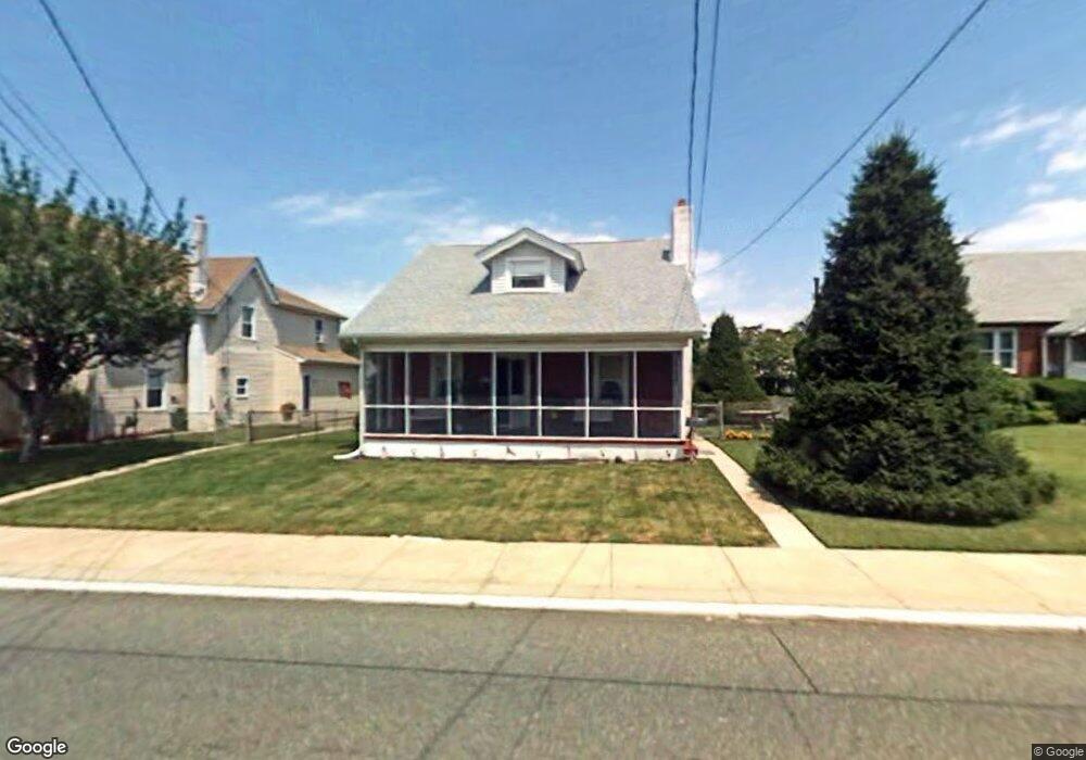
711 W Broad St Gibbstown, NJ 08027
Greenwich Township NeighborhoodEstimated Value: $222,456 - $290,000
--
Bed
--
Bath
1,500
Sq Ft
$181/Sq Ft
Est. Value
About This Home
This home is located at 711 W Broad St, Gibbstown, NJ 08027 and is currently estimated at $271,614, approximately $181 per square foot. 711 W Broad St is a home located in Gloucester County with nearby schools including Nehaunsey Middle School and Guardian Angels Regional School.
Create a Home Valuation Report for This Property
The Home Valuation Report is an in-depth analysis detailing your home's value as well as a comparison with similar homes in the area
Home Values in the Area
Average Home Value in this Area
Tax History Compared to Growth
Tax History
| Year | Tax Paid | Tax Assessment Tax Assessment Total Assessment is a certain percentage of the fair market value that is determined by local assessors to be the total taxable value of land and additions on the property. | Land | Improvement |
|---|---|---|---|---|
| 2025 | $4,404 | $127,900 | $26,200 | $101,700 |
| 2024 | $4,172 | $127,900 | $26,200 | $101,700 |
| 2023 | $4,172 | $127,900 | $26,200 | $101,700 |
| 2022 | $4,175 | $127,900 | $26,200 | $101,700 |
| 2021 | $3,880 | $127,900 | $26,200 | $101,700 |
| 2020 | $4,189 | $127,900 | $26,200 | $101,700 |
| 2019 | $3,837 | $117,100 | $26,200 | $90,900 |
| 2018 | $3,728 | $117,100 | $26,200 | $90,900 |
| 2017 | $3,638 | $117,100 | $26,200 | $90,900 |
| 2016 | $3,598 | $117,100 | $26,200 | $90,900 |
| 2015 | $3,483 | $117,100 | $26,200 | $90,900 |
| 2014 | $3,333 | $117,100 | $26,200 | $90,900 |
Source: Public Records
Map
Nearby Homes
- 132 Tomlin Station Rd
- 752 Duncan Ave
- 433 Jefferson St
- 431 Washington St
- 157 S Poplar St
- 268 Memorial Ave
- W Broad St
- 0 S Democrat Rd Unit NJGL2065008
- 126 Repaupo Station Rd
- 43 45 Repaupo Station Rd
- 456 Freund Ave
- 792 Paulsboro Rd
- 788 Paulsboro Rd
- 0 Swedesboro Ave Unit NJGL2061592
- 0 Rd Unit NJGL2061600
- 330 Croce Ave
- 219 Vanneman Blvd
- 344 W Washington St
- L18 20 W Broad St
- 120 Bartram Ave
- 703 W Broad St
- 717 W Broad St
- 723 W Broad St
- 714 W Broad St
- 649 W Broad St
- 710 W Broad St
- 704 W Broad St
- 729 W Broad St
- 720 W Broad St
- 642 W Broad St
- 724 W Broad St
- 643 W Broad St
- 728 W Broad St
- 641-643 W Broad St
- 641 W Broad St Unit 643
- 737 W Broad St
- 702 Washington St
- 708 Washington St
- 21 Tomlin Station Rd