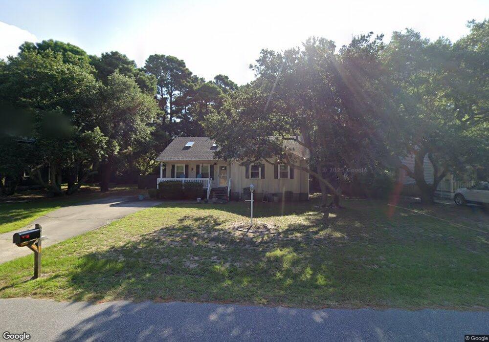
711 W First St Unit 86 Kill Devil Hills, NC 27948
Estimated Value: $436,000 - $505,000
3
Beds
2
Baths
1,296
Sq Ft
$360/Sq Ft
Est. Value
About This Home
This home is located at 711 W First St Unit 86, Kill Devil Hills, NC 27948 and is currently estimated at $466,327, approximately $359 per square foot. 711 W First St Unit 86 is a home located in Dare County with nearby schools including Nags Head Elementary School, First Flight Middle School, and First Flight High School.
Ownership History
Date
Name
Owned For
Owner Type
Purchase Details
Closed on
Feb 4, 2015
Sold by
Cook Samuel W and Cook Joan B
Bought by
Brennan Kathleen
Current Estimated Value
Purchase Details
Closed on
Nov 17, 2006
Sold by
Myers Merrill and Myers Elaine F
Bought by
Cook Samuel W and Cook Joan B
Home Financials for this Owner
Home Financials are based on the most recent Mortgage that was taken out on this home.
Original Mortgage
$199,600
Interest Rate
6.62%
Mortgage Type
Assumption
Create a Home Valuation Report for This Property
The Home Valuation Report is an in-depth analysis detailing your home's value as well as a comparison with similar homes in the area
Home Values in the Area
Average Home Value in this Area
Purchase History
| Date | Buyer | Sale Price | Title Company |
|---|---|---|---|
| Brennan Kathleen | $216,000 | None Available | |
| Brennan Kathleen | $216,000 | None Available | |
| Cook Samuel W | $242,000 | None Available | |
| Cook Samuel W | $242,000 | None Available |
Source: Public Records
Mortgage History
| Date | Status | Borrower | Loan Amount |
|---|---|---|---|
| Previous Owner | Cook Samuel W | $199,600 |
Source: Public Records
Map
Nearby Homes
- 1515 Dogwood Ln Unit Lot 58
- 1106 Indian Dr Unit Lot 27
- 524 Anika Way Unit Lot 30
- 516 Anika Way Unit Lot 34
- 1404 Captains Cir Unit Lot 152
- 1304 Harpoon Dr Unit Lot 70
- 512 Anika Way Unit Lot 36
- 1320 Water Oak Dr Unit Lot 4
- 1302 Harpoon Dr Unit Lot 68
- 1303 Tranquil Place Unit Lot 67
- 1204 Indian Dr Unit Lot 29
- 609 Zen Ln Unit Lot 55
- 701 Zen Ln Unit Lot 57
- 518 Parkwood Dr Unit Lot 10A
- 1308 Water Oak Dr Unit Lot 10
- 1207 W 4th St Unit Lot 45
- 1420 W First St Unit Lot 4
- 1806 Creek St Unit Lot 13
- 1208 W 4th St Unit 4
- 606 Clam Shell Dr Unit Lot 17
- 711 W First St
- 713 W First St Unit 85
- 713 W First St
- 709 W First St
- 1520 Dogwood Ln
- 1518 Dogwood Ln
- 715 W First St
- 919 Cedar Dr
- 707 W First St
- 1522 Dogwood Ln
- 1516 Dogwood Ln
- 1514 Dogwood Ln
- 705 W First St
- 917 Cedar Dr
- 1604 Ketch Ln
- 1517 Dogwood Ln
- 1600 Ketch Ln
- 1602 Ketch Ln Unit 40
- 1602 Ketch Ln
- 800 W First St Unit 119
Your Personal Tour Guide
Ask me questions while you tour the home.