711 Wellman Ave North Chelmsford, MA 01863
Estimated Value: $441,000 - $465,584
2
Beds
2
Baths
1,334
Sq Ft
$342/Sq Ft
Est. Value
About This Home
This home is located at 711 Wellman Ave, North Chelmsford, MA 01863 and is currently estimated at $455,896, approximately $341 per square foot. 711 Wellman Ave is a home located in Middlesex County with nearby schools including Charles D. Harrington Elementary School, Parker Middle School, and Chelmsford High School.
Ownership History
Date
Name
Owned For
Owner Type
Purchase Details
Closed on
Dec 23, 2024
Sold by
Berube Joan A
Bought by
Joan A Berube Ret and Berube
Current Estimated Value
Purchase Details
Closed on
Aug 23, 2006
Sold by
Berube Joan A and Berube Robert P
Bought by
Berube Joan A
Purchase Details
Closed on
Feb 15, 1991
Sold by
Marsala Joseph and Marsala Mary E
Bought by
Berube Robert P and Berube Joan A
Create a Home Valuation Report for This Property
The Home Valuation Report is an in-depth analysis detailing your home's value as well as a comparison with similar homes in the area
Home Values in the Area
Average Home Value in this Area
Purchase History
| Date | Buyer | Sale Price | Title Company |
|---|---|---|---|
| Joan A Berube Ret | -- | None Available | |
| Joan A Berube Ret | -- | None Available | |
| Joan A Berube Ret | -- | None Available | |
| Berube Joan A | -- | -- | |
| Berube Joan A | -- | -- | |
| Berube Robert P | $116,500 | -- | |
| Berube Robert P | $116,500 | -- |
Source: Public Records
Mortgage History
| Date | Status | Borrower | Loan Amount |
|---|---|---|---|
| Previous Owner | Berube Robert P | $50,000 | |
| Previous Owner | Berube Robert P | $60,000 | |
| Previous Owner | Berube Robert P | $75,000 |
Source: Public Records
Tax History Compared to Growth
Tax History
| Year | Tax Paid | Tax Assessment Tax Assessment Total Assessment is a certain percentage of the fair market value that is determined by local assessors to be the total taxable value of land and additions on the property. | Land | Improvement |
|---|---|---|---|---|
| 2025 | $5,750 | $413,700 | $0 | $413,700 |
| 2024 | $5,259 | $386,100 | $0 | $386,100 |
| 2023 | $5,336 | $371,300 | $0 | $371,300 |
| 2022 | $4,545 | $288,200 | $0 | $288,200 |
| 2021 | $4,302 | $273,300 | $0 | $273,300 |
| 2020 | $4,570 | $277,800 | $0 | $277,800 |
| 2019 | $4,226 | $258,500 | $0 | $258,500 |
| 2018 | $4,113 | $229,000 | $0 | $229,000 |
| 2017 | $3,871 | $216,000 | $0 | $216,000 |
| 2016 | $3,574 | $198,200 | $0 | $198,200 |
| 2015 | $3,617 | $193,400 | $0 | $193,400 |
| 2014 | $3,597 | $189,500 | $0 | $189,500 |
Source: Public Records
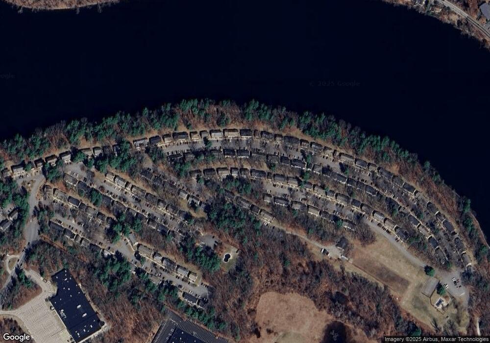
Map
Nearby Homes
- 139 Wellman Ave Unit 139
- 202 Wellman Ave
- 739 Wellman Ave
- 406 Wellman Ave
- 348 Wellman Ave
- 525 Wellman Ave
- 413 Wellman Ave Unit 413
- 880 Wellman Ave
- 1461 Pawtucket Blvd Unit 12
- 15 Dowling Dr
- 1335 Varnum Ave
- 33 Kennedy Dr Unit 33
- 1 Hope St
- 5 Mission Rd Unit 203
- 1184 Varnum Ave
- 20 Sandy Ln
- 16 Washington St
- 48 Mission Rd
- 71 Princeton St Unit 303
- 3 Louis Farm Rd Unit 3
- 709 Wellman Ave
- 709 Wellman Ave Unit 325
- 709 Wellman Ave Unit 709
- 715 Wellman Ave
- 713 Wellman Ave
- 136 Wellman Ave
- 135 Wellman Ave
- 136 Wellman Ave Unit 220
- 135 Wellman Ave Unit 219
- 139 Wellman Ave
- 138 Wellman Ave
- 138 Wellman Ave Unit 222
- 138 Wellman Ave Unit 138
- 717 Wellman Ave
- 717 Wellman Ave Unit 717
- 717 Wellman Ave Unit 333
- 618 Wellman Ave
- 618 Wellman Ave Unit 618
- 623 Wellman Ave
- 622 Wellman Ave