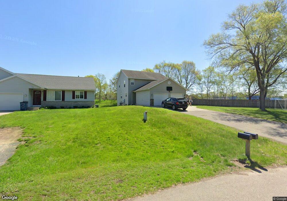
7110 10th Ave Unit 7112 Jenison, MI 49428
Estimated Value: $392,806 - $450,000
--
Bed
6
Baths
2,048
Sq Ft
$205/Sq Ft
Est. Value
About This Home
This home is located at 7110 10th Ave Unit 7112, Jenison, MI 49428 and is currently estimated at $419,702, approximately $204 per square foot. 7110 10th Ave Unit 7112 is a home located in Ottawa County with nearby schools including Bursley School, Jenison Junior High School, and Jenison High School.
Ownership History
Date
Name
Owned For
Owner Type
Purchase Details
Closed on
Apr 10, 2023
Sold by
Andrews Michael R and Andrews Nancy A
Bought by
Andrews Michael R and Andrews Nancy A
Current Estimated Value
Purchase Details
Closed on
Mar 15, 2006
Sold by
R2 Rental Properties Llc
Bought by
Andrews Michael R and Andrews Nancy A
Home Financials for this Owner
Home Financials are based on the most recent Mortgage that was taken out on this home.
Original Mortgage
$147,000
Interest Rate
6.34%
Mortgage Type
Fannie Mae Freddie Mac
Purchase Details
Closed on
Dec 24, 2002
Sold by
Reimink Timothy J and Reimink Lauri M
Bought by
R2 Rental Properties Llc
Create a Home Valuation Report for This Property
The Home Valuation Report is an in-depth analysis detailing your home's value as well as a comparison with similar homes in the area
Home Values in the Area
Average Home Value in this Area
Purchase History
| Date | Buyer | Sale Price | Title Company |
|---|---|---|---|
| Andrews Michael R | -- | None Listed On Document | |
| Andrews Michael R | $196,000 | Lighthouse Title Inc | |
| R2 Rental Properties Llc | -- | -- |
Source: Public Records
Mortgage History
| Date | Status | Borrower | Loan Amount |
|---|---|---|---|
| Previous Owner | Andrews Michael R | $147,000 |
Source: Public Records
Tax History
| Year | Tax Paid | Tax Assessment Tax Assessment Total Assessment is a certain percentage of the fair market value that is determined by local assessors to be the total taxable value of land and additions on the property. | Land | Improvement |
|---|---|---|---|---|
| 2025 | $4,924 | $185,400 | $0 | $0 |
| 2024 | $48 | $162,600 | $0 | $0 |
| 2023 | $4,532 | $133,000 | $0 | $0 |
| 2022 | $4,696 | $132,200 | $0 | $0 |
| 2021 | $4,475 | $122,700 | $0 | $0 |
| 2020 | $4,434 | $118,600 | $0 | $0 |
| 2019 | $4,453 | $108,900 | $0 | $0 |
| 2018 | $4,229 | $106,500 | $0 | $0 |
| 2017 | $4,145 | $104,000 | $0 | $0 |
| 2016 | $4,134 | $97,500 | $0 | $0 |
| 2015 | $3,989 | $92,100 | $0 | $0 |
| 2014 | $3,989 | $91,300 | $0 | $0 |
Source: Public Records
Map
Nearby Homes
- 1028 Rosewood St
- 7350 Glendora Ave
- 7391 Terrace Ln
- 7522 Melody Ln
- 6566 Cherrywood Ave
- 7425 Boulder Bluff Dr Unit 112
- 7521 Boulder Bluff Dr Unit 81
- 1600 Southlawn St
- 6505 Andre's Crossing
- 7439 Eastlane Ave
- 7805 Coachman Ln Unit 61
- 6325 8th Ave SW
- 91 Grand Village Ct SW Unit 34
- 7373 Pinegrove Dr Unit 109
- 7341 Pinegrove Dr
- 6181 Gleneagle Highlands Dr
- 7728 Hollyhock Ave
- 625 Summerset Dr
- 1215 Sycamore Dr
- 9067 Hollace Ct
- 7110 10th Ave
- 7126 10th Ave
- 7126 10th Ave Unit 7128
- 7128 10th Ave
- 1010 Koster St
- 7125 10th Ave
- 7144 10th Ave
- 1020 Koster St
- 1023 Koster St
- 1023 Koster St Unit 1025
- 1034 Koster St
- 1034 Koster St Unit 1036
- 984 Vos St
- 986 Vos St
- 1010 Vos St
- 1035 Koster St
- 968 Vos St
- 1024 Vos St
- 954 Vos St
- 1044 Koster St
Your Personal Tour Guide
Ask me questions while you tour the home.