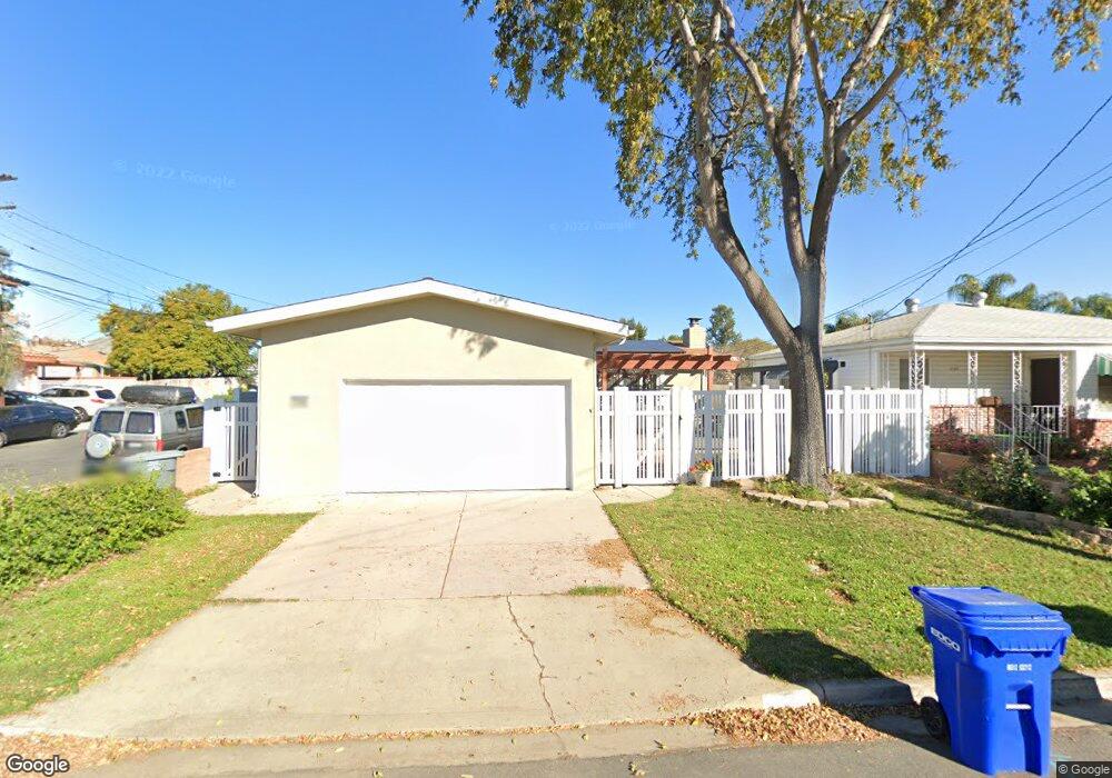
7110 Colony Rd La Mesa, CA 91942
Estimated Value: $721,000 - $788,000
About This Home
This home is located at 7110 Colony Rd, La Mesa, CA 91942 and is currently estimated at $747,799, approximately $647 per square foot. 7110 Colony Rd is a home located in San Diego County with nearby schools including Rolando Elementary School, La Mesa Arts Academy, and Mount Miguel High School.
Ownership History
We collect this data history from publicly available records. To have your information removed, we recommend requesting removal directly through your county’s website.
Purchase Details
Purchase Details
Home Financials for this Owner
Home Financials are based on the most recent Mortgage that was taken out on this home.Purchase Details
Purchase Details
Purchase History
We collect this data history from publicly available records. To have your information removed, we recommend requesting removal directly through your county’s website.
| Date | Buyer | Sale Price | Title Company |
|---|---|---|---|
| -- | None Available | ||
| $225,000 | California Title Company | ||
| -- | -- | ||
| $104,000 | -- |
Mortgage History
We collect this data history from publicly available records. To have your information removed, we recommend requesting removal directly through your county’s website.
| Date | Status | Borrower | Loan Amount |
|---|---|---|---|
| Open | $221,865 |
Tax History
We collect this data history from publicly available records. To have your information removed, we recommend requesting removal directly through your county’s website.
| Year | Tax Paid | Tax Assessment Tax Assessment Total Assessment is a certain percentage of the fair market value that is determined by local assessors to be the total taxable value of land and additions on the property. | Land | Improvement |
|---|---|---|---|---|
| 2025 | $4,439 | $339,014 | $143,884 | $195,130 |
| 2024 | $4,439 | $332,367 | $141,063 | $191,304 |
| 2023 | $4,283 | $325,851 | $138,298 | $187,553 |
| 2022 | $4,232 | $319,463 | $135,587 | $183,876 |
| 2021 | $4,157 | $313,200 | $132,929 | $180,271 |
| 2020 | $4,018 | $309,989 | $131,566 | $178,423 |
| 2019 | $3,972 | $303,912 | $128,987 | $174,925 |
| 2018 | $3,904 | $297,954 | $126,458 | $171,496 |
| 2017 | $3,829 | $292,113 | $123,979 | $168,134 |
| 2016 | $3,712 | $286,387 | $121,549 | $164,838 |
| 2015 | $3,688 | $282,086 | $119,724 | $162,362 |
| 2014 | $3,624 | $276,561 | $117,379 | $159,182 |
Map
- 7105 Amherst St
- 4790 70th St Unit 6
- 4850 69th Place
- 4750 70th St Unit 58
- 4789 Harbinson Ave
- 4779 Harbinson Ave
- 7003 Saranac St Unit 103
- 7361 - 7367 La Mesita Place
- 4844 68th St Unit 3
- 5055 73rd St
- 4746 Jessie Ave
- 6735 Amherst St Unit 10
- 7273 Cornell Ave
- 7380 Mohawk St
- 4927 67th St
- 7314 Stanford Ave
- 6650 Amherst St Unit 18C
- 6650 Amherst St Unit 6B
- 5198 Bocaw Place
- 4380 Pomona Ave
- 7146 Colony Rd
- 4815 71st St
- 7148 Colony Rd
- 4817 71st St Unit 19
- 7156 Colony Rd
- 7131 Colony Rd
- 7101 Colony Rd
- 00000 Colony Rd
- 0000 Colony Rd
- 0000 Colony Rd Unit 1
- 4821 71st St
- 7151 Colony Rd
- 4814 71st St
- 4814 71st St
- 7070 Colony Rd
- 7050 Colony Rd
- 4840 Normandie Place
- 4812 71st St
- 4779 71st St
- 4823 71st St
Ask me questions while you tour the home.