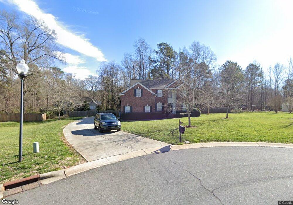
7110 Forrest Rader Dr Mint Hill, NC 28227
Estimated Value: $599,982 - $655,000
5
Beds
3
Baths
3,156
Sq Ft
$198/Sq Ft
Est. Value
About This Home
This home is located at 7110 Forrest Rader Dr, Mint Hill, NC 28227 and is currently estimated at $624,496, approximately $197 per square foot. 7110 Forrest Rader Dr is a home located in Mecklenburg County with nearby schools including Bain Elementary, Mint Hill Middle School, and Independence High.
Ownership History
Date
Name
Owned For
Owner Type
Purchase Details
Closed on
Dec 17, 1999
Sold by
Cambridge Homes Of Nc Ltd Partnership
Bought by
Martin Eddie J and Martin Rhonda L
Current Estimated Value
Home Financials for this Owner
Home Financials are based on the most recent Mortgage that was taken out on this home.
Original Mortgage
$177,000
Outstanding Balance
$55,368
Interest Rate
7.85%
Estimated Equity
$569,128
Create a Home Valuation Report for This Property
The Home Valuation Report is an in-depth analysis detailing your home's value as well as a comparison with similar homes in the area
Home Values in the Area
Average Home Value in this Area
Purchase History
| Date | Buyer | Sale Price | Title Company |
|---|---|---|---|
| Martin Eddie J | $222,000 | -- |
Source: Public Records
Mortgage History
| Date | Status | Borrower | Loan Amount |
|---|---|---|---|
| Open | Martin Eddie J | $177,000 |
Source: Public Records
Tax History
| Year | Tax Paid | Tax Assessment Tax Assessment Total Assessment is a certain percentage of the fair market value that is determined by local assessors to be the total taxable value of land and additions on the property. | Land | Improvement |
|---|---|---|---|---|
| 2025 | $3,609 | $502,700 | $110,000 | $392,700 |
| 2024 | $3,609 | $502,700 | $110,000 | $392,700 |
| 2023 | $3,554 | $502,700 | $110,000 | $392,700 |
| 2022 | $2,878 | $325,500 | $80,000 | $245,500 |
| 2021 | $2,878 | $325,500 | $80,000 | $245,500 |
| 2020 | $2,878 | $325,500 | $80,000 | $245,500 |
| 2019 | $2,872 | $325,500 | $80,000 | $245,500 |
| 2018 | $2,521 | $228,100 | $42,800 | $185,300 |
| 2017 | $2,500 | $228,100 | $42,800 | $185,300 |
| 2016 | $2,497 | $228,100 | $42,800 | $185,300 |
| 2015 | $2,493 | $228,100 | $42,800 | $185,300 |
| 2014 | $2,491 | $228,100 | $42,800 | $185,300 |
Source: Public Records
Map
Nearby Homes
- 10830 Kempton Square N
- 1221 Colgher St
- 6270 Hove Rd
- 7200 Box Car Ct
- 5244 Kinsbridge Dr
- 10319 Topeka Dr
- 6705 Old Magnolia Ln
- 5502 Chicopee Dr
- 10200 Atchinson Dr
- 7701 Matthews-Mint Hill Rd
- 5108 Kinsbridge Dr
- 6521 Old Magnolia Ln
- 10116 Mountain Apple Dr
- 5024 Hillshire Ln
- 4119 Roe Creek Dr
- 4123 Roe Creek Dr
- 12021 Mariner Dr
- 8234 Franklin Trail St
- 4317 Wilgrove Mint Hill Rd
- 8237 Franklin Trail St
- 7104 Forrest Rader Dr
- 10957 Lawyers Rd
- 7120 Forrest Rader Dr
- 10831 Reid Alexander Ln
- 7105 Forrest Rader Dr
- 7133 Nelson Rd
- 10825 Reid Alexander Ln
- 7117 Forrest Rader Dr
- 7130 Forrest Rader Dr
- 10967 Lawyers Rd
- 10949 Lawyers Rd
- 7129 Forrest Rader Dr
- 10815 Reid Alexander Ln
- 7138 Forrest Rader Dr
- 10971 Lawyers Rd
- 10834 Reid Alexander Ln
- 7141 Nelson Rd
- 7118 Travis Reid Ln
- 7108 Travis Reid Ln
- 7128 Travis Reid Ln
Your Personal Tour Guide
Ask me questions while you tour the home.