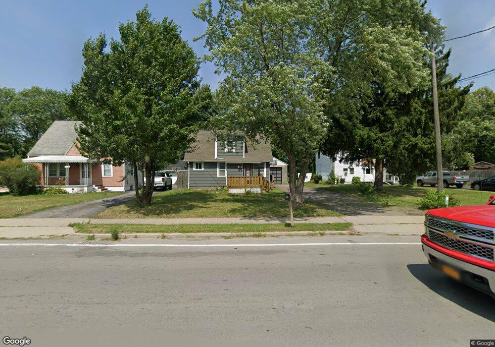
7110 Packard Rd Unit 10 Niagara Falls, NY 14304
Estimated Value: $189,000 - $199,089
3
Beds
1
Bath
1,026
Sq Ft
$190/Sq Ft
Est. Value
About This Home
This home is located at 7110 Packard Rd Unit 10, Niagara Falls, NY 14304 and is currently estimated at $194,522, approximately $189 per square foot. 7110 Packard Rd Unit 10 is a home located in Niagara County with nearby schools including Edward Town Middle School, Niagara-Wheatfield Senior High School, and Niagara Charter School.
Ownership History
Date
Name
Owned For
Owner Type
Purchase Details
Closed on
Mar 1, 2023
Sold by
Dmvb Properties Llc
Bought by
Dwyer Laura
Current Estimated Value
Purchase Details
Closed on
Nov 13, 2015
Sold by
U.S. Bank Trust, N.A., As Trustee For Lsf9 Ma
Bought by
Kc Erie Niagara Properties Llc
Purchase Details
Closed on
Nov 3, 2015
Sold by
Kc Erie Niagara Properties Llc
Bought by
Timineri Michele
Purchase Details
Closed on
Mar 9, 2015
Sold by
Soeder Esq
Bought by
U.S. Bank Trust, As Trustee For Lsf9 Mas
Create a Home Valuation Report for This Property
The Home Valuation Report is an in-depth analysis detailing your home's value as well as a comparison with similar homes in the area
Home Values in the Area
Average Home Value in this Area
Purchase History
| Date | Buyer | Sale Price | Title Company |
|---|---|---|---|
| Dwyer Laura | -- | -- | |
| Kc Erie Niagara Properties Llc | $20,000 | Sam Puleo | |
| Timineri Michele | $59,000 | None Available | |
| U.S. Bank Trust, As Trustee For Lsf9 Mas | $109,040 | Stiene & Associates |
Source: Public Records
Tax History Compared to Growth
Tax History
| Year | Tax Paid | Tax Assessment Tax Assessment Total Assessment is a certain percentage of the fair market value that is determined by local assessors to be the total taxable value of land and additions on the property. | Land | Improvement |
|---|---|---|---|---|
| 2024 | $3,184 | $43,400 | $5,300 | $38,100 |
| 2023 | $2,967 | $43,400 | $5,300 | $38,100 |
| 2022 | $2,945 | $43,400 | $5,300 | $38,100 |
| 2021 | $2,958 | $43,400 | $5,300 | $38,100 |
| 2020 | $2,154 | $43,400 | $5,300 | $38,100 |
| 2019 | $3,768 | $43,400 | $5,300 | $38,100 |
| 2018 | $3,868 | $43,400 | $5,300 | $38,100 |
| 2017 | $3,768 | $43,400 | $5,300 | $38,100 |
| 2016 | $2,127 | $43,400 | $5,300 | $38,100 |
| 2015 | -- | $43,400 | $5,300 | $38,100 |
| 2014 | -- | $43,400 | $5,300 | $38,100 |
Source: Public Records
Map
Nearby Homes
- 7211 Packard Rd
- 0 Laur Rd
- 3210 Woodland Ave
- 3190 Apple Ct
- 0 Miller Rd Unit B1278008
- 7901 Packard Rd
- 6410 Woodside Place
- 7400 Saint Joseph Rd
- 7612 Saint Joseph Rd
- 7620 Saint Joseph Rd
- 8100 Porter Rd
- v/l Porter Rd
- 8090 Packard Rd
- VL 3rd Ave N
- 8049 3rd Ave
- 0 3rd Ave
- 8106 E Britton Dr
- 8398 Ziblut Ct
- 5406 Mayle Ct
- 4450 Miller Rd
- 7110 Packard Rd
- 7116 Packard Rd
- 7106 Packard Rd
- 7030 Packard Rd
- 7120 Packard Rd
- 7109 Packard Rd
- 7026 Packard Rd
- 7117 Packard Rd
- 7130 Packard Rd
- 7119 Packard Rd
- 7020 Packard Rd
- 7101 Packard Rd
- 7129 Packard Rd
- 7016 Packard Rd
- 7201 Packard Rd
- 7200 Packard Rd
- 7006 Packard Rd
- 7210 Packard Rd
- 6906 Packard Rd
- 6900 Packard Rd