7114 Black Forest Dr NE Unit 7 Rockford, MI 49341
Estimated Value: $529,000 - $590,000
4
Beds
4
Baths
2,950
Sq Ft
$191/Sq Ft
Est. Value
About This Home
This home is located at 7114 Black Forest Dr NE Unit 7, Rockford, MI 49341 and is currently estimated at $563,420, approximately $190 per square foot. 7114 Black Forest Dr NE Unit 7 is a home located in Kent County with nearby schools including North Rockford Middle School, Rockford High School Freshman Center, and Rockford High School.
Ownership History
Date
Name
Owned For
Owner Type
Purchase Details
Closed on
Aug 20, 2008
Sold by
Prudential Relocation Inc
Bought by
Todd Rendel A and Todd Tracy M
Current Estimated Value
Home Financials for this Owner
Home Financials are based on the most recent Mortgage that was taken out on this home.
Original Mortgage
$162,400
Outstanding Balance
$107,680
Interest Rate
6.54%
Mortgage Type
Purchase Money Mortgage
Estimated Equity
$455,740
Purchase Details
Closed on
Apr 30, 2008
Sold by
Kunkel John and Kunkel Theresa
Bought by
Prudential Relocation Inc
Purchase Details
Closed on
Sep 24, 1998
Sold by
Kunkel John
Bought by
Kunkel John and Todd Rendel
Purchase Details
Closed on
Mar 20, 1998
Bought by
M&W Construction Corp and Todd Rendel
Create a Home Valuation Report for This Property
The Home Valuation Report is an in-depth analysis detailing your home's value as well as a comparison with similar homes in the area
Home Values in the Area
Average Home Value in this Area
Purchase History
| Date | Buyer | Sale Price | Title Company |
|---|---|---|---|
| Todd Rendel A | $203,000 | Chicago Title Insurance Co | |
| Prudential Relocation Inc | $203,000 | Chicago Title Insurance Co | |
| Kunkel John | $217,000 | -- | |
| M&W Construction Corp | $38,900 | -- |
Source: Public Records
Mortgage History
| Date | Status | Borrower | Loan Amount |
|---|---|---|---|
| Open | Todd Rendel A | $162,400 |
Source: Public Records
Tax History Compared to Growth
Tax History
| Year | Tax Paid | Tax Assessment Tax Assessment Total Assessment is a certain percentage of the fair market value that is determined by local assessors to be the total taxable value of land and additions on the property. | Land | Improvement |
|---|---|---|---|---|
| 2025 | $3,072 | $237,200 | $0 | $0 |
| 2024 | $3,072 | $219,100 | $0 | $0 |
| 2023 | $2,939 | $199,800 | $0 | $0 |
| 2022 | $4,308 | $157,800 | $0 | $0 |
| 2021 | $4,194 | $152,900 | $0 | $0 |
| 2020 | $2,707 | $150,800 | $0 | $0 |
| 2019 | $4,095 | $142,500 | $0 | $0 |
| 2018 | $4,131 | $135,300 | $0 | $0 |
| 2017 | $4,023 | $137,300 | $0 | $0 |
| 2016 | $3,889 | $125,800 | $0 | $0 |
| 2015 | $3,770 | $125,800 | $0 | $0 |
| 2013 | -- | $111,800 | $0 | $0 |
Source: Public Records
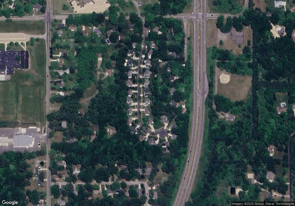
Map
Nearby Homes
- 4875 Belding Rd NE
- 6640 Walnut Run Dr NE
- 4883 Honeycrisp Dr NE
- 6950 Barkley Creek Dr NE
- 6812 Brewer Ave NE
- 6704 Riga Ave NE
- 4777 Windcliff Dr NE
- 7878 Northland Dr NE
- 6741 Woodhills Dr NE
- Wilshere Plan at Ravines at Inwood
- Remington Plan at Ravines at Inwood
- Enclave Plan at Ravines at Inwood
- Cascade Plan at Ravines at Inwood
- Croswell Plan at Ravines at Inwood
- Carson Plan at Ravines at Inwood
- Avery Plan at Ravines at Inwood
- Ashton Plan at Ravines at Inwood
- Sycamore Plan at Ravines at Inwood - Woodland Series
- Sequoia Plan at Ravines at Inwood - Woodland Series
- Redwood Plan at Ravines at Inwood - Woodland Series
- 7098 Black Forest Dr NE Unit 8
- 7130 Black Forest Dr NE
- 7144 Black Forest Dr NE Unit 5
- 7071 Courtland Dr NE
- 7082 Black Forest Dr NE
- 7068 Black Forest Dr NE Unit 10
- 7117 Black Forest Dr NE
- 7085 Courtland Dr NE
- 7085 Courtland Dr NE Unit A
- 7085 Courtland Dr NE Unit B
- 7101 Black Forest Dr NE Unit 18
- 7129 Black Forest Dr NE
- 7156 Black Forest Dr NE Unit 4
- 7147 Black Forest Dr NE
- 7095 Black Forest Dr NE
- 7103 Courtland Dr NE
- 7089 Black Forest Dr NE
- 7050 Black Forest Dr NE Unit 11
- 7111 Courtland Dr NE
- 7159 Black Forest Dr NE