7114 Branchwood Dr Clinton, MD 20735
Estimated Value: $462,000 - $483,000
--
Bed
3
Baths
1,792
Sq Ft
$263/Sq Ft
Est. Value
About This Home
This home is located at 7114 Branchwood Dr, Clinton, MD 20735 and is currently estimated at $471,614, approximately $263 per square foot. 7114 Branchwood Dr is a home located in Prince George's County with nearby schools including Francis T. Evans Elementary School, Stephen Decatur Middle School, and Dr. Henry A. Wise Jr. High School.
Ownership History
Date
Name
Owned For
Owner Type
Purchase Details
Closed on
Jul 15, 1994
Sold by
Housing Homes Sales Inc
Bought by
Pratt Sherril E
Current Estimated Value
Home Financials for this Owner
Home Financials are based on the most recent Mortgage that was taken out on this home.
Original Mortgage
$157,069
Interest Rate
8.51%
Create a Home Valuation Report for This Property
The Home Valuation Report is an in-depth analysis detailing your home's value as well as a comparison with similar homes in the area
Home Values in the Area
Average Home Value in this Area
Purchase History
| Date | Buyer | Sale Price | Title Company |
|---|---|---|---|
| Pratt Sherril E | $153,990 | -- |
Source: Public Records
Mortgage History
| Date | Status | Borrower | Loan Amount |
|---|---|---|---|
| Closed | Pratt Sherril E | $157,069 |
Source: Public Records
Tax History Compared to Growth
Tax History
| Year | Tax Paid | Tax Assessment Tax Assessment Total Assessment is a certain percentage of the fair market value that is determined by local assessors to be the total taxable value of land and additions on the property. | Land | Improvement |
|---|---|---|---|---|
| 2025 | $399 | $377,400 | $100,500 | $276,900 |
| 2024 | $399 | $351,600 | $0 | $0 |
| 2023 | $398 | $325,800 | $0 | $0 |
| 2022 | $398 | $300,000 | $100,500 | $199,500 |
| 2021 | $4,134 | $289,467 | $0 | $0 |
| 2020 | $4,060 | $278,933 | $0 | $0 |
| 2019 | $3,963 | $268,400 | $100,200 | $168,200 |
| 2018 | $3,841 | $256,700 | $0 | $0 |
| 2017 | $3,741 | $245,000 | $0 | $0 |
| 2016 | -- | $233,300 | $0 | $0 |
| 2015 | $3,873 | $233,300 | $0 | $0 |
| 2014 | $3,873 | $233,300 | $0 | $0 |
Source: Public Records
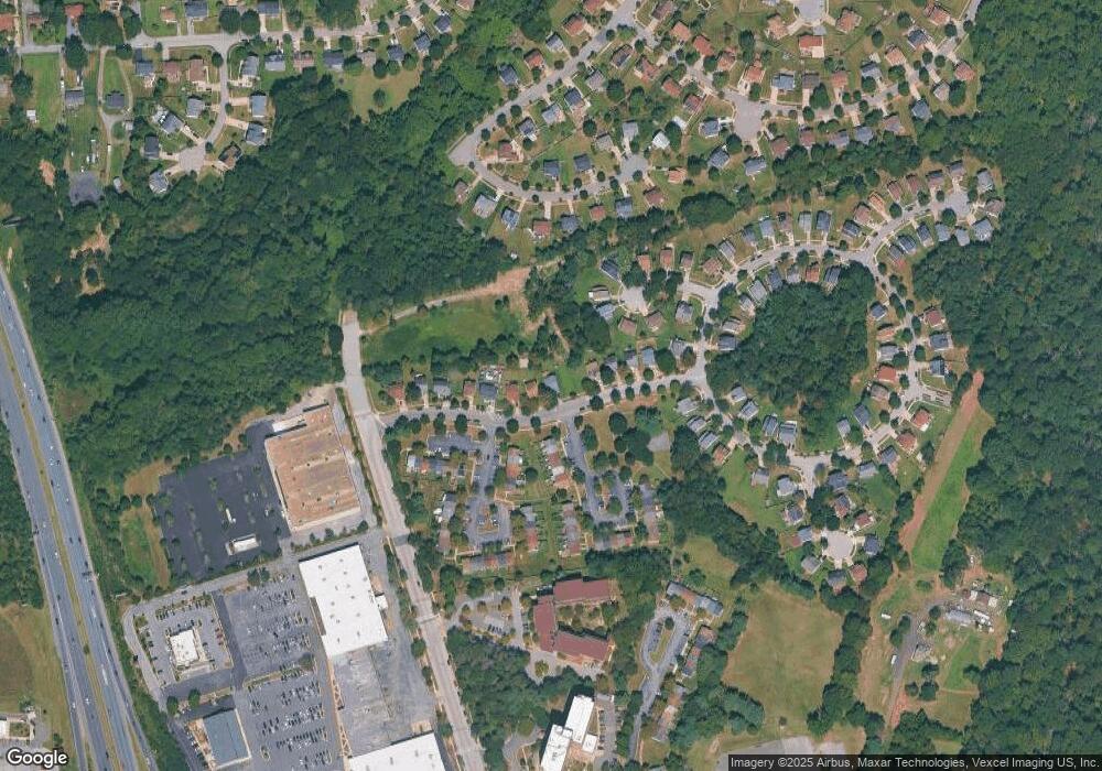
Map
Nearby Homes
- 7113 Branchwood Place
- 7729 Castle Rock Dr
- 0 Clinton Vista Ln
- 7904 Mike Shapiro Dr
- 7209 Mcmillen Dr
- 7205 Mcmillen Dr
- 6610 Bullrush Ct
- 8817 Mimosa Ave
- 6410 Woodley Rd
- 9003 Woodyard Rd
- 0 Dangerfield Rd
- 7804 New Ascot Ln
- 9302 Caldran Dr
- 9409 Silver Fox Turn
- 6004 Butterfield Dr
- 10104 Dangerfield Rd
- 7807 Colonial Ln
- 6009 Sellner Ln
- 9502 Brandywine Rd
- 8518 Cedar Chase Dr
- 7112 Branchwood Dr
- 0 Branchwood Dr
- 7118 Branchwood Dr
- 7110 Branchwood Dr
- 7120 Branchwood Dr
- 7108 Branchwood Dr
- 7301 Branchwood Terrace
- 7303 Branchwood Terrace
- 7305 Branchwood Terrace
- 7237 Branchwood Place
- 7122 Branchwood Dr
- 7307 Branchwood Terrace
- 7106 Branchwood Dr
- 7300 Seawood Ct
- 7309 Branchwood Terrace
- 7301 Seawood Ct
- 7233 Branchwood Place
- 7311 Branchwood Terrace
- 7124 Branchwood Dr
- 7231 Branchwood Place