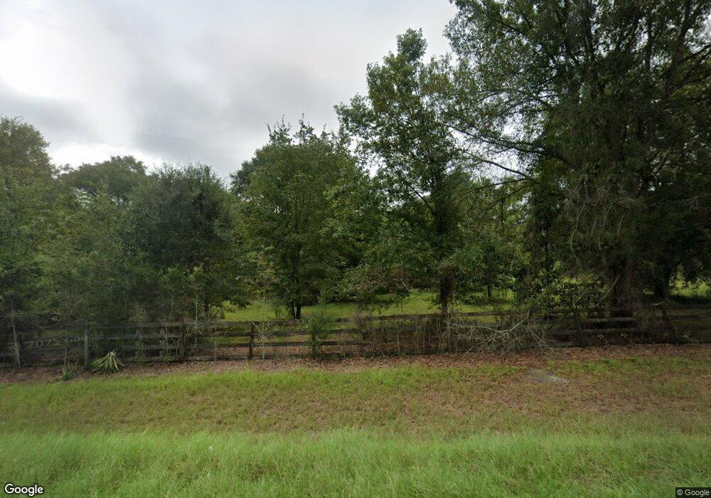
7114 Ga Highway 121 NE Surrency, GA 31563
Estimated Value: $193,000 - $328,000
--
Bed
2
Baths
2,298
Sq Ft
$116/Sq Ft
Est. Value
About This Home
This home is located at 7114 Ga Highway 121 NE, Surrency, GA 31563 and is currently estimated at $267,162, approximately $116 per square foot. 7114 Ga Highway 121 NE is a home located in Appling County.
Ownership History
Date
Name
Owned For
Owner Type
Purchase Details
Closed on
Dec 8, 2023
Sold by
Leggett Charlie
Bought by
Outdoor Pursuits Llc
Current Estimated Value
Purchase Details
Closed on
Sep 23, 2022
Sold by
Crowe Jerry C
Bought by
Leggett Charlie
Purchase Details
Closed on
Jan 18, 1993
Bought by
Crowe Jerry C
Purchase Details
Closed on
Dec 21, 1991
Bought by
Crowe Jerry C
Purchase Details
Closed on
Jul 20, 1989
Bought by
Coleman Alice
Create a Home Valuation Report for This Property
The Home Valuation Report is an in-depth analysis detailing your home's value as well as a comparison with similar homes in the area
Home Values in the Area
Average Home Value in this Area
Purchase History
| Date | Buyer | Sale Price | Title Company |
|---|---|---|---|
| Outdoor Pursuits Llc | $260,000 | -- | |
| Leggett Charlie | $165,000 | -- | |
| Crowe Jerry C | $50,000 | -- | |
| Crowe Jerry C | -- | -- | |
| Coleman Alice | -- | -- |
Source: Public Records
Tax History Compared to Growth
Tax History
| Year | Tax Paid | Tax Assessment Tax Assessment Total Assessment is a certain percentage of the fair market value that is determined by local assessors to be the total taxable value of land and additions on the property. | Land | Improvement |
|---|---|---|---|---|
| 2024 | $1,498 | $60,980 | $31,280 | $29,700 |
| 2023 | $1,498 | $50,174 | $26,394 | $23,780 |
| 2022 | $478 | $28,510 | $12,216 | $16,294 |
| 2021 | $471 | $28,510 | $12,216 | $16,294 |
| 2020 | $496 | $28,510 | $12,216 | $16,294 |
| 2019 | $619 | $28,510 | $12,216 | $16,294 |
| 2018 | $632 | $28,510 | $12,216 | $16,294 |
| 2017 | $632 | $28,510 | $12,216 | $16,294 |
| 2016 | $632 | $28,510 | $12,216 | $16,294 |
| 2015 | $633 | $28,510 | $12,216 | $16,294 |
| 2014 | $634 | $28,510 | $12,216 | $16,294 |
| 2013 | -- | $28,510 | $12,216 | $16,293 |
Source: Public Records
Map
Nearby Homes
- 9027 Georgia 144
- 286 Carter Bight Landing Rd
- 2264 Carter Bight Landing Rd
- 2286 Carter Bight Landing Rd
- 2262 Carter Bight Landing Rd
- 145 Getaway Ln
- 315 Getaway Ln
- 965 Oquinn Loop
- 0 O'Quinn Loop
- 0 Oquinn Loop
- 9027 Ga Highway 144 NE
- 0 Lee Woods Rd Unit 18062646
- Lot 4 Brentwood Rd
- Lot 2 Brentwood Rd
- Lot 3 Brentwood Rd
- Lot 1 Brentwood Rd
- TRACT 1 Morris Break Rd
- TRACT 3 Morris Break Rd
- TRACT 4 Morris Break Rd
- 0 Lee Woods Rd Unit 11355226
