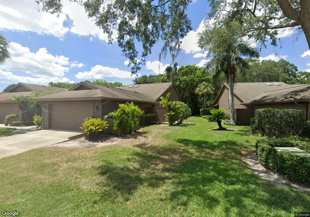
7114 Saint Andrews Ln Sarasota, FL 34243
Estimated Value: $337,000 - $421,000
2
Beds
2
Baths
3,066
Sq Ft
$122/Sq Ft
Est. Value
About This Home
This home is located at 7114 Saint Andrews Ln, Sarasota, FL 34243 and is currently estimated at $374,988, approximately $122 per square foot. 7114 Saint Andrews Ln is a home located in Manatee County with nearby schools including Robert Willis Elementary School, Braden River Middle School, and Braden River High School.
Ownership History
Date
Name
Owned For
Owner Type
Purchase Details
Closed on
Jul 15, 2016
Sold by
Wells Fargo Bank N A
Bought by
Zarris George A and Zarris Barbara
Current Estimated Value
Purchase Details
Closed on
Jul 1, 2016
Bought by
Zarris George A
Purchase Details
Closed on
Aug 25, 2015
Sold by
Wells Fargo Bank Na
Bought by
Aegis Property Llc
Purchase Details
Closed on
Feb 2, 2015
Sold by
Ward Jack and Ward Jack P
Bought by
Wells Fargo Bank Na
Create a Home Valuation Report for This Property
The Home Valuation Report is an in-depth analysis detailing your home's value as well as a comparison with similar homes in the area
Home Values in the Area
Average Home Value in this Area
Purchase History
| Date | Buyer | Sale Price | Title Company |
|---|---|---|---|
| Zarris George A | -- | Attorney | |
| Zarris George A | $100 | -- | |
| Aegis Property Llc | $170,000 | None Available | |
| Wells Fargo Bank Na | $136,000 | Attorney |
Source: Public Records
Tax History Compared to Growth
Tax History
| Year | Tax Paid | Tax Assessment Tax Assessment Total Assessment is a certain percentage of the fair market value that is determined by local assessors to be the total taxable value of land and additions on the property. | Land | Improvement |
|---|---|---|---|---|
| 2025 | $2,825 | $219,631 | -- | -- |
| 2024 | $2,825 | $213,441 | -- | -- |
| 2023 | $2,772 | $207,224 | $0 | $0 |
| 2022 | $2,687 | $201,188 | $0 | $0 |
| 2021 | $2,563 | $195,328 | $0 | $0 |
| 2020 | $2,636 | $192,631 | $0 | $0 |
| 2019 | $2,586 | $188,300 | $35,000 | $153,300 |
| 2018 | $3,029 | $175,189 | $35,000 | $140,189 |
| 2017 | $2,789 | $168,532 | $0 | $0 |
| 2016 | $2,662 | $157,344 | $0 | $0 |
| 2015 | $2,846 | $170,654 | $0 | $0 |
| 2014 | $2,846 | $170,464 | $0 | $0 |
| 2013 | $2,504 | $141,171 | $1 | $141,170 |
Source: Public Records
Map
Nearby Homes
- 5604 Doral Dr
- 5724 Doral Dr
- 7146 Lakeside Dr Unit 5947
- 7149 Fairway Bend Cir
- 7261 Golf Pointe Way Unit V188
- 7157 Fairway Bend Cir
- 5630 Golf Pointe Dr Unit 205
- 5630 Golf Pointe Dr Unit 206
- 5598 Golf Pointe Dr Unit A-1
- 7094 Fairway Bend Cir
- 5692 Country Lakes Dr
- 7143 Fairway Bend Ln Unit V175
- 5897 Carriage Dr
- 7110 Fairway Bend Ln Unit 181
- 6911 Stetson Street Cir
- 7340 Golf Pointe Cir
- 6929 Stetson Street Cir
- 5767 Avista Dr Unit 5767
- 7126 Southgate Ct
- 5705 Avista Dr Unit 4104
- 7116 St Andrews Ln
- 7116 St Andrews Ln Unit 7116
- 7116 Saint Andrews Ln
- 7116 Saint Andrews Ln Unit 1
- 7110 Saint Andrews Ln
- 7118 Saint Andrews Ln
- 7120 Saint Andrews Ln
- 7106 Saint Andrews Ln
- 7122 Saint Andrews Ln
- 5705 Doral Dr
- 5703 Doral Dr
- 5701 Doral Dr
- 7109 Saint Andrews Ln
- 7109 Saint Andrews Ln
- 7107 Saint Andrews Ln
- 5801 Merion Way
- 5803 Merion Way
- 5805 Merion Way Unit 1
- 7105 Saint Andrews Ln Unit 1
- 7105 Saint Andrews Ln