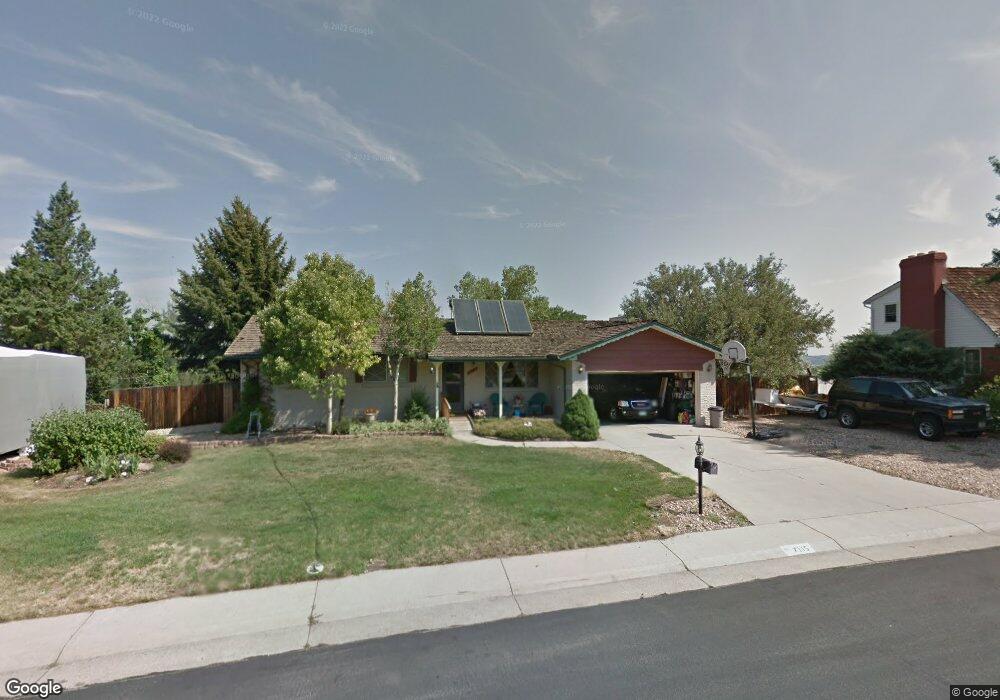
7115 Dover Way Arvada, CO 80004
Scenic Heights NeighborhoodEstimated Value: $708,774 - $735,000
3
Beds
3
Baths
2,726
Sq Ft
$266/Sq Ft
Est. Value
About This Home
This home is located at 7115 Dover Way, Arvada, CO 80004 and is currently estimated at $724,444, approximately $265 per square foot. 7115 Dover Way is a home located in Jefferson County with nearby schools including Secrest Elementary School, North Arvada Middle School, and Arvada High School.
Ownership History
Date
Name
Owned For
Owner Type
Purchase Details
Closed on
Sep 30, 2021
Sold by
Parker David J
Bought by
Parker David J and Parker Britt
Current Estimated Value
Purchase Details
Closed on
Nov 7, 2017
Sold by
Bacso Joseph
Bought by
Parker David J
Home Financials for this Owner
Home Financials are based on the most recent Mortgage that was taken out on this home.
Original Mortgage
$310,250
Outstanding Balance
$259,837
Interest Rate
3.83%
Mortgage Type
New Conventional
Estimated Equity
$464,607
Purchase Details
Closed on
Sep 2, 2014
Sold by
Deutsche Bank National Trust Company
Bought by
Bacso Joseph
Purchase Details
Closed on
Jul 11, 2014
Sold by
Wood Steven H
Bought by
Deutsche Bank National Trust Company
Create a Home Valuation Report for This Property
The Home Valuation Report is an in-depth analysis detailing your home's value as well as a comparison with similar homes in the area
Home Values in the Area
Average Home Value in this Area
Purchase History
| Date | Buyer | Sale Price | Title Company |
|---|---|---|---|
| Parker David J | -- | None Available | |
| Parker David J | $365,000 | None Available | |
| Bacso Joseph | $276,250 | Cat | |
| Deutsche Bank National Trust Company | -- | None Available |
Source: Public Records
Mortgage History
| Date | Status | Borrower | Loan Amount |
|---|---|---|---|
| Open | Parker David J | $310,250 |
Source: Public Records
Tax History
| Year | Tax Paid | Tax Assessment Tax Assessment Total Assessment is a certain percentage of the fair market value that is determined by local assessors to be the total taxable value of land and additions on the property. | Land | Improvement |
|---|---|---|---|---|
| 2024 | $4,132 | $42,595 | $20,291 | $22,304 |
| 2023 | $4,132 | $42,595 | $20,291 | $22,304 |
| 2022 | $3,323 | $33,930 | $15,366 | $18,564 |
| 2021 | $3,378 | $34,906 | $15,808 | $19,098 |
| 2020 | $2,935 | $30,417 | $12,546 | $17,871 |
| 2019 | $2,896 | $30,417 | $12,546 | $17,871 |
| 2018 | $2,784 | $28,435 | $9,629 | $18,806 |
| 2017 | $2,549 | $28,435 | $9,629 | $18,806 |
| 2016 | $2,224 | $23,095 | $6,092 | $17,003 |
| 2015 | $2,039 | $23,095 | $6,092 | $17,003 |
| 2014 | $2,039 | $20,139 | $5,158 | $14,981 |
Source: Public Records
Map
Nearby Homes
- 8571 W 71st Cir
- 8612 W 69th Place
- 6806 Brentwood St
- 8225 W 67th Place
- 8714 W 67th Place
- 8419 W 75th Way
- 8202 W 67th Dr
- 8090 W 68th Ave
- 7555 W 69th Place
- 8596 W 66th Place
- 9227 W 67th Ave
- 6940 Independence St
- 9303 W 66th Place
- 7253 W 69th Ave
- 8401 W 64th Place
- 7194 W 68th Ave
- 7402 W 76th Ave
- 9909 W 70th Ave
- 6475 Garrison St
- 7124 W 74th Place
Your Personal Tour Guide
Ask me questions while you tour the home.