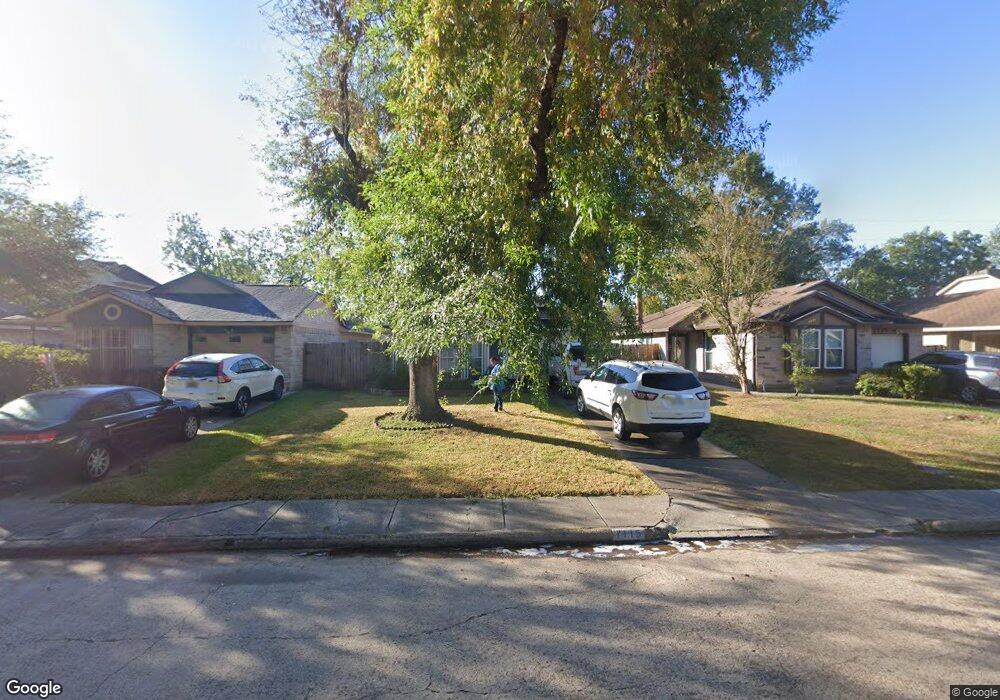
7115 Greenyard Dr Houston, TX 77086
North Houston NeighborhoodEstimated Value: $165,318 - $178,000
2
Beds
1
Bath
1,079
Sq Ft
$159/Sq Ft
Est. Value
About This Home
This home is located at 7115 Greenyard Dr, Houston, TX 77086 and is currently estimated at $172,080, approximately $159 per square foot. 7115 Greenyard Dr is a home located in Harris County with nearby schools including Kujawa EC/Pre-K/K School, Carmichael Elementary School, and Shotwell Middle School.
Ownership History
Date
Name
Owned For
Owner Type
Purchase Details
Closed on
May 2, 2005
Sold by
Uppal Surjit S and Uppal Trilochan
Bought by
Cortez Romana
Current Estimated Value
Home Financials for this Owner
Home Financials are based on the most recent Mortgage that was taken out on this home.
Original Mortgage
$71,900
Outstanding Balance
$37,946
Interest Rate
6.03%
Mortgage Type
Fannie Mae Freddie Mac
Estimated Equity
$134,134
Create a Home Valuation Report for This Property
The Home Valuation Report is an in-depth analysis detailing your home's value as well as a comparison with similar homes in the area
Home Values in the Area
Average Home Value in this Area
Purchase History
| Date | Buyer | Sale Price | Title Company |
|---|---|---|---|
| Cortez Romana | -- | First American Title |
Source: Public Records
Mortgage History
| Date | Status | Borrower | Loan Amount |
|---|---|---|---|
| Open | Cortez Romana | $71,900 |
Source: Public Records
Tax History Compared to Growth
Tax History
| Year | Tax Paid | Tax Assessment Tax Assessment Total Assessment is a certain percentage of the fair market value that is determined by local assessors to be the total taxable value of land and additions on the property. | Land | Improvement |
|---|---|---|---|---|
| 2025 | $1,520 | $162,019 | $34,168 | $127,851 |
| 2024 | $1,520 | $160,000 | $28,606 | $131,394 |
| 2023 | $1,520 | $162,190 | $28,606 | $133,584 |
| 2022 | $2,418 | $140,452 | $21,454 | $118,998 |
| 2021 | $2,309 | $117,413 | $21,454 | $95,959 |
| 2020 | $2,234 | $114,897 | $21,454 | $93,443 |
| 2019 | $2,163 | $109,247 | $21,454 | $87,793 |
| 2018 | $736 | $85,995 | $21,454 | $64,541 |
| 2017 | $1,897 | $85,995 | $21,454 | $64,541 |
| 2016 | $1,725 | $63,022 | $21,454 | $41,568 |
| 2015 | $1,628 | $63,022 | $11,919 | $51,103 |
| 2014 | $1,628 | $65,169 | $11,919 | $53,250 |
Source: Public Records
Map
Nearby Homes
- 7218 Winding Trace Dr
- 7222 Northleaf Dr
- 7227 Greenyard Dr
- 11007 Tobasa Ct
- 7002 Sandswept Ln
- 7023 Sandswept Ln
- 10711 Heather Hill Dr
- 10614 Mackenzie Dr
- 11006 Crinkleawn Dr
- 10723 Mackenzie Dr
- 6722 Winding Trace Dr
- 5010 Kale Ct
- 6654 Brownie Campbell Rd
- 10307 Bammel North Houston Rd
- 11021 Crenchrus Ct
- 11009 Panicum Ct
- 5103 Dartmoor Ridge Trail
- 6630 Brownie Campbell Rd
- 6911 Silver Star Dr
- 6610 Northleaf Dr
- 7111 Greenyard Dr
- 7117 Greenyard Dr
- 7107 Greenyard Dr
- 7119 Greenyard Dr
- 7105 Greenyard Dr
- 7121 Greenyard Dr
- 11002 Sacaton Dr
- 7103 Greenyard Dr
- 7123 Greenyard Dr
- 11006 Sacaton Dr
- 11003 Maidencane Ct
- 7021 Greenyard Dr
- 7125 Greenyard Dr
- 11008 Sacaton Dr
- 11007 Maidencane Ct
- 11003 Sacaton Dr
- 7106 Northleaf Dr
- 7017 Greenyard Dr
- 7127 Greenyard Dr
- 7110 Northleaf Dr