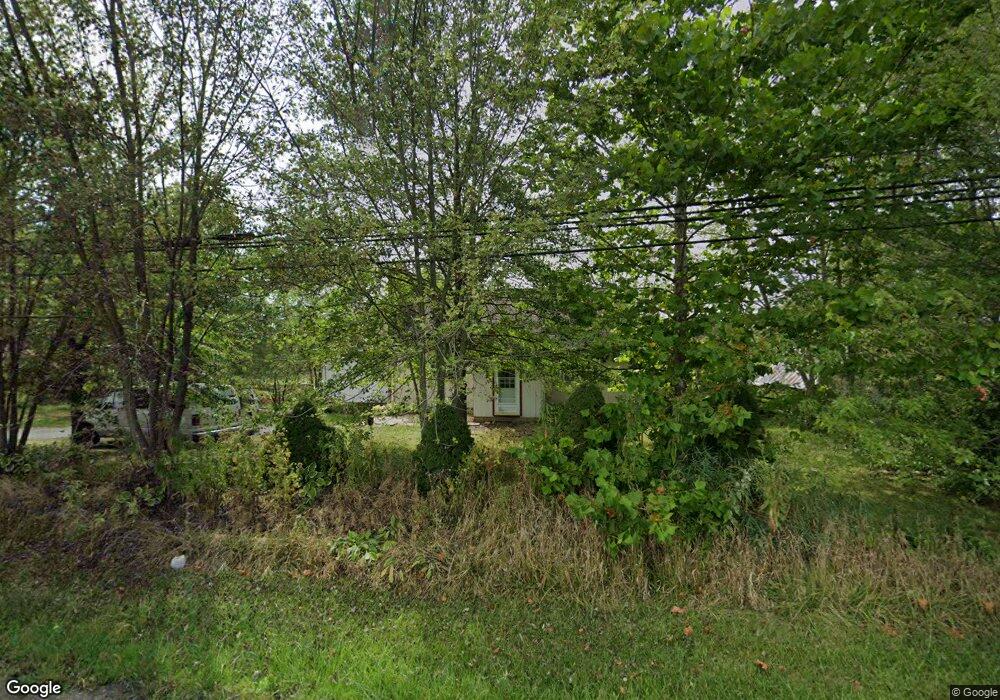
7115 Ravenna Ave Louisville, OH 44641
Estimated Value: $173,000 - $267,416
3
Beds
1
Bath
1,864
Sq Ft
$112/Sq Ft
Est. Value
About This Home
This home is located at 7115 Ravenna Ave, Louisville, OH 44641 and is currently estimated at $208,104, approximately $111 per square foot. 7115 Ravenna Ave is a home located in Stark County with nearby schools including Louisville High School and St. Thomas Aquinas High School & Middle School.
Ownership History
Date
Name
Owned For
Owner Type
Purchase Details
Closed on
Sep 25, 2025
Sold by
Property Alliance Group Llc
Bought by
Fritz Seth and Fritz Katherine
Current Estimated Value
Purchase Details
Closed on
Mar 21, 2011
Sold by
Secretary Of Housing & Urban Development
Bought by
Property Alliance Group Llc
Purchase Details
Closed on
Jan 15, 2010
Sold by
Kaster Michael J
Bought by
Wells Fargo Bank Na
Purchase Details
Closed on
Dec 9, 2009
Sold by
Wells Fargo Bank Na
Bought by
Secretary Of Housing & Urban Development
Purchase Details
Closed on
Jul 30, 1999
Sold by
Bayer Anna B
Bought by
Kaster Michael J
Home Financials for this Owner
Home Financials are based on the most recent Mortgage that was taken out on this home.
Original Mortgage
$81,700
Interest Rate
11.9%
Create a Home Valuation Report for This Property
The Home Valuation Report is an in-depth analysis detailing your home's value as well as a comparison with similar homes in the area
Home Values in the Area
Average Home Value in this Area
Purchase History
| Date | Buyer | Sale Price | Title Company |
|---|---|---|---|
| Fritz Seth | $172,000 | None Listed On Document | |
| Property Alliance Group Llc | $33,000 | Attorney | |
| Wells Fargo Bank Na | $90,000 | None Available | |
| Secretary Of Housing & Urban Development | -- | None Available | |
| Kaster Michael J | $86,000 | -- |
Source: Public Records
Mortgage History
| Date | Status | Borrower | Loan Amount |
|---|---|---|---|
| Previous Owner | Kaster Michael J | $81,700 |
Source: Public Records
Tax History Compared to Growth
Tax History
| Year | Tax Paid | Tax Assessment Tax Assessment Total Assessment is a certain percentage of the fair market value that is determined by local assessors to be the total taxable value of land and additions on the property. | Land | Improvement |
|---|---|---|---|---|
| 2025 | -- | $73,050 | $28,670 | $44,380 |
| 2024 | -- | $80,400 | $31,010 | $49,390 |
| 2023 | $2,713 | $54,530 | $23,030 | $31,500 |
| 2022 | $2,720 | $54,530 | $23,030 | $31,500 |
| 2021 | $2,728 | $54,530 | $23,030 | $31,500 |
| 2020 | $2,179 | $45,990 | $19,740 | $26,250 |
| 2019 | $2,188 | $46,020 | $19,750 | $26,270 |
| 2018 | $2,189 | $46,020 | $19,750 | $26,270 |
| 2017 | $1,992 | $39,960 | $17,340 | $22,620 |
| 2016 | $1,728 | $35,410 | $17,340 | $18,070 |
| 2015 | $1,733 | $35,410 | $17,340 | $18,070 |
| 2014 | $1,724 | $32,600 | $15,930 | $16,670 |
| 2013 | $866 | $32,600 | $15,930 | $16,670 |
Source: Public Records
Map
Nearby Homes
- 7844 Morningstar Dr
- 6285 California Ave
- 6079 Eastlawn St NE
- 3580 Brookridge Ave Lot 15
- 6150 Pilot View Cir
- 5474 Ravenna Ave
- 0 Glenbar St
- 6052 N Nickelplate St
- 0 Brookridge Ave
- 524 Glenbar St
- 316 E Reno Dr
- 614 Reno Dr
- 5700 Glena St
- 0 Pilot Knob Ave NE
- 1561 Noel St
- 910 Crosswyck Cir
- 428 Honeycrisp Dr NE
- 3047 Mcintosh Dr NE
- 432 Honeycrisp Dr NE
- 2962 Mcintosh Dr NE
- 7085 Ravenna Ave
- 7069 Ravenna Ave
- 7106 Ravenna Ave
- 7059 Ravenna Ave
- 7203 Ravenna Ave
- 7025 Ravenna Ave
- 7005 Ravenna Ave
- 0 Columbus Rd NE
- 7370 Columbus Rd NE
- 7370 Columbus Rd
- 7346 Columbus Rd
- 7512 Columbus Rd NE
- 6975 Ravenna Ave
- 7365 Columbus Rd
- 7365 Columbus Rd NE
- 7341 Columbus Rd
- 7312 Columbus Rd NE
- 6929 Ravenna Ave
- 7519 Columbus Rd
- 7519 Columbus Rd NE