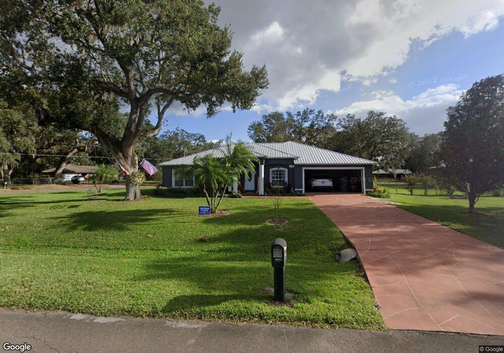
7115 Robin Dr Bartow, FL 33830
Estimated Value: $294,000 - $366,000
3
Beds
2
Baths
1,997
Sq Ft
$169/Sq Ft
Est. Value
About This Home
This home is located at 7115 Robin Dr, Bartow, FL 33830 and is currently estimated at $337,696, approximately $169 per square foot. 7115 Robin Dr is a home located in Polk County with nearby schools including Bartow Elementary Academy, Union Academy, and Bartow Middle School.
Ownership History
Date
Name
Owned For
Owner Type
Purchase Details
Closed on
Feb 17, 1998
Sold by
Thomas Jesse N
Bought by
Word Terry G and Word Sherrill L
Current Estimated Value
Home Financials for this Owner
Home Financials are based on the most recent Mortgage that was taken out on this home.
Original Mortgage
$5,000,000
Outstanding Balance
$890,647
Interest Rate
7.07%
Estimated Equity
-$552,951
Create a Home Valuation Report for This Property
The Home Valuation Report is an in-depth analysis detailing your home's value as well as a comparison with similar homes in the area
Home Values in the Area
Average Home Value in this Area
Purchase History
| Date | Buyer | Sale Price | Title Company |
|---|---|---|---|
| Word Terry G | $25,000 | -- |
Source: Public Records
Mortgage History
| Date | Status | Borrower | Loan Amount |
|---|---|---|---|
| Open | Word Terry G | $117,941 | |
| Closed | Word Terry G | $25,000 | |
| Closed | Word Terry G | $94,631 | |
| Open | Word Terry G | $5,000,000 |
Source: Public Records
Tax History
| Year | Tax Paid | Tax Assessment Tax Assessment Total Assessment is a certain percentage of the fair market value that is determined by local assessors to be the total taxable value of land and additions on the property. | Land | Improvement |
|---|---|---|---|---|
| 2025 | $1,366 | $120,174 | -- | -- |
| 2024 | $1,210 | $91,877 | -- | -- |
| 2023 | $1,210 | $89,201 | $0 | $0 |
| 2022 | $1,138 | $86,603 | $0 | $0 |
| 2021 | $1,118 | $84,081 | $0 | $0 |
| 2020 | $1,087 | $82,920 | $0 | $0 |
| 2018 | $1,021 | $79,545 | $0 | $0 |
| 2017 | $1,002 | $77,909 | $0 | $0 |
| 2016 | $952 | $76,307 | $0 | $0 |
Source: Public Records
Map
Nearby Homes
- 537 Heather Ct
- 205 Tifton St
- 570 Old Bartow Lake Wales Rd
- 408 Old Bartow Lake Wales Rd
- 660 Old Bartow Lake Wales Rd
- 136 Paul Revere Rd
- 606 Morgan Rd
- 345 Ridgeview E
- 0 Monroe Dr
- 919 Avenue S SE
- 0 Avenue A E Unit MFRTB8488121
- 0 Avenue A E Unit F10556451
- 128 11th Wahneta St W
- 137 S Hankin Rd
- 371 Highlands Way
- 129 5th St NE
- 215 10th Wahneta St W
- 120 4th Wahneta St E
- 300 S Hankin Rd
- 340 S Hankin Rd
- 7020 Robin Dr
- 7005 Robin Dr
- 435 Heather Ct
- 7030 Robin Dr
- 580 Heather Ct
- 570 Heather Ct
- 560 Heather Ct
- 550 Heather Ct
- 7010 Robin Dr
- 514 Rifle Range Rd
- 540 Heather Ct
- 7040 Robin Dr
- 7055 Robin Dr
- 525 Heather Ct
- 512 Rifle Range Rd
- 573 Heather Ct
- 5021 Rifle Range Rd
- 579 Heather Ct
- 7050 Robin Dr
- 567 Heather Ct
Your Personal Tour Guide
Ask me questions while you tour the home.