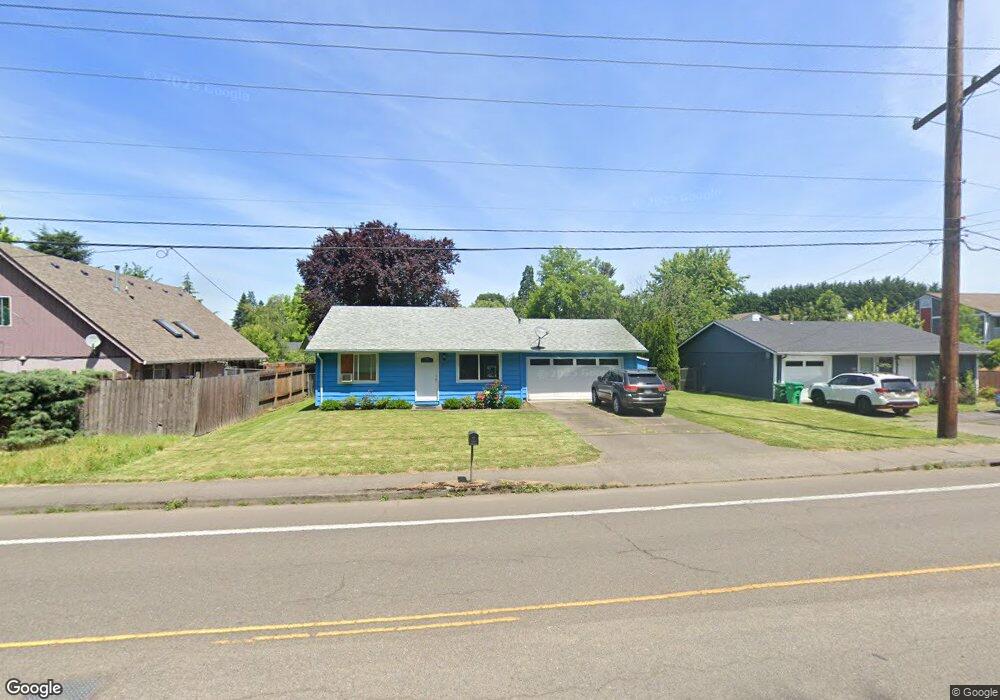
7115 SE Harmony Rd Milwaukie, OR 97222
Linwood NeighborhoodEstimated Value: $358,000 - $435,000
3
Beds
1
Bath
928
Sq Ft
$439/Sq Ft
Est. Value
About This Home
This home is located at 7115 SE Harmony Rd, Milwaukie, OR 97222 and is currently estimated at $407,314, approximately $438 per square foot. 7115 SE Harmony Rd is a home located in Clackamas County with nearby schools including Linwood Elementary School, Rowe Middle School, and Milwaukie High School.
Ownership History
Date
Name
Owned For
Owner Type
Purchase Details
Closed on
Jul 9, 2018
Sold by
Lancaster Judith R
Bought by
Lancaster Bradley J
Current Estimated Value
Purchase Details
Closed on
Jul 13, 1995
Sold by
Conrad Gerald R and Conrad Elizabeth
Bought by
Lancaster Bradley J and Lancaster Judith R
Home Financials for this Owner
Home Financials are based on the most recent Mortgage that was taken out on this home.
Original Mortgage
$78,030
Interest Rate
7.61%
Mortgage Type
Assumption
Create a Home Valuation Report for This Property
The Home Valuation Report is an in-depth analysis detailing your home's value as well as a comparison with similar homes in the area
Home Values in the Area
Average Home Value in this Area
Purchase History
| Date | Buyer | Sale Price | Title Company |
|---|---|---|---|
| Lancaster Bradley J | -- | None Available | |
| Lancaster Bradley J | $76,500 | First American Title Ins Co |
Source: Public Records
Mortgage History
| Date | Status | Borrower | Loan Amount |
|---|---|---|---|
| Closed | Lancaster Bradley J | $78,030 |
Source: Public Records
Tax History Compared to Growth
Tax History
| Year | Tax Paid | Tax Assessment Tax Assessment Total Assessment is a certain percentage of the fair market value that is determined by local assessors to be the total taxable value of land and additions on the property. | Land | Improvement |
|---|---|---|---|---|
| 2024 | $3,509 | $160,299 | -- | -- |
| 2023 | $3,509 | $155,631 | $0 | $0 |
| 2022 | $3,240 | $151,099 | $0 | $0 |
| 2021 | $3,127 | $146,699 | $0 | $0 |
| 2020 | $3,030 | $142,427 | $0 | $0 |
| 2019 | $2,984 | $138,279 | $0 | $0 |
| 2018 | $2,654 | $134,251 | $0 | $0 |
| 2017 | $2,578 | $130,341 | $0 | $0 |
| 2016 | $2,491 | $126,545 | $0 | $0 |
| 2015 | $2,372 | $122,859 | $0 | $0 |
| 2014 | $2,250 | $119,281 | $0 | $0 |
Source: Public Records
Map
Nearby Homes
- 7511 SE Harmony Rd
- 6455 SE Aspen St
- 7912 SE Southgate St
- 12201 SE Linwood Ave
- 12385 SE 60th Ct
- 7778 SE Harmony Dr
- 5866 SE Lloyd St
- 11206 SE Adamson Ct
- 11469 SE 59th Ave
- 6731 SE Maplehurst Rd
- 0 Parcel 05038972 Unit 103678446
- 7631 SE Thompson Rd
- 11119 SE Linwood Ave
- 7307 SE Monroe St
- 7802 SE Sporri Ln Unit 21
- 6435 SE Ketchum St
- 7825 SE Sporri Ln
- 7874 SE Sporri Ln Unit 15
- 11217 SE Causey Cir Unit 15E
- 10726 SE 75th Ave Unit 13
- 12516 SE 71st Ave
- 7125 SE Harmony Rd
- 12506 SE 71st Ave
- 12434 SE 71st Ave
- 12515 SE 71st Ave
- 12424 SE 71st Ave
- 7016 SE Madrona Dr
- 12423 SE 71st Ave
- 12436 SE 71st Ave
- 7015 SE Madrona Dr
- 12414 SE 71st Ave
- 7006 SE Madrona Dr
- 12413 SE 71st Ave
- 16240 SE 70th Ave
- 7211 SE Harmony Rd
- 12422 SE 70th Ave
- 12404 SE 71st Ave
- 6926 SE Madrona Dr
- 12403 SE 71st Ave
- 7311 SE Harmony Rd